Download
1 / 13
130 likes | 269 Views
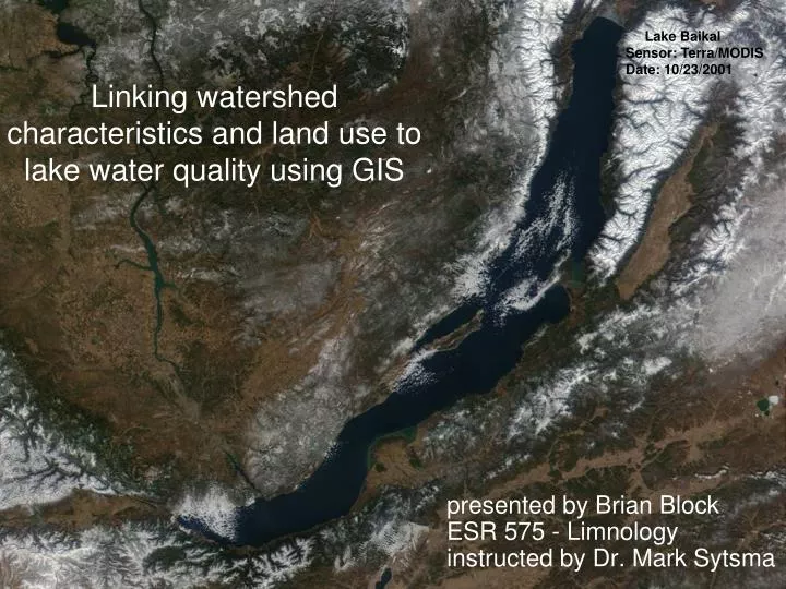
Linking watershed characteristics and land use to lake water quality using GIS. Lake Baikal Sensor: Terra/MODIS Date: 10/23/2001. presented by Brian Block ESR 575 - Limnology instructed by Dr. Mark Sytsma. Benefits of GIS?.

E N D
Linking watershed characteristics and land use to lake water quality using GIS Lake Baikal Sensor: Terra/MODIS Date: 10/23/2001 • presented by Brian Block • ESR 575 - Limnology • instructed by Dr. Mark Sytsma
Benefits of GIS? • Integrates, stores, edits, analyzes, shares, and displays geographic information. • A growing body of existing data can be leveraged for analysis (e.g., USGS DEMs, NLCD 2001, National Hydrography Dataset, and Landsat). • Data can be exported to non-spatial modeling tools (e.g. multivariate regression analysis).
An increasing flow of data is provided by remote sensing platforms. • Rapid response allows detection of temporal changes caused by anthropogenic land use, climate change, or natural processes.
Our analysis unit (graphic courtesy of Chester County (Pa) Citizens for Climate Protection).
GIS as applied to limnology: • “Lakes are intimately linked to their catchment” (Maberly et al., 2003). • A watershed is influenced from unique geology, climate, soils, topography, and vegetation over time. • These factors greatly influence lake chemistry and trophic conditions. • Physical measurements give additional data on how lakes respond to landscape (e.g. retention time).
Ostrofsky and Bradley (2006) found that 200m riparian buffers gave significant results for estimation of phosphorus loading.
Coats et al. (2008) established that impervious surfaces and residential land use degraded water quality.
TP, TN, DOC, DRP, turbidity, and TSS measured by Galbraith and Burns (2007).
Ordination diagram of geographic variables from Galbraith and Burns (2007).
Regression of Nitrogen versus catchment slope from Maberly et al., (2003).
Black Sea • Sensor: Aqua/MODIS • Date: 05/25/2004 The future, rapid response? Agricultural runoff from the Danube R. and phytoplankton bloom in the Black Sea.
Conclusion: • Watershed characteristics can predict trophic status. • Galbraith and Burns (2007) indicated that conversion of native grasses to pasture would reduce water quality (i.e. human disturbance has negative impacts). • The importance of scale in modeling. • Bennion et al., (2005) demonstrated that a GIS lake inventory could be used to evaluate risk and prioritize remediation efforts. • Ostrofsky and Bradley estimated pre European lake trophic status to establish baseline levels for management. • Standard statistical techniques provided useful results.
References: • Bennion, H., et al. 2005. The use of GIS-based inventory to provide a national assessment of standing waters at risk from eutrophication in Great Britain. Science of the Total Environment 344:259-273. • Coats, R., et al. 2008. Nutrient and sediment production, watershed-characteristics and land use in the Tahoe Basin, California-Nevada. Journal of the American Water Resources Association 44(3):754-770. • Davies, B.R., et al. 2008. A comparison of the catchment sizes of rivers, streams, ponds, ditches and lakes: implications for protecting aquatic biodiversity in an agricultural landscape. Hydrobiologia 597:7-17. • Galbraith, L.M. and Burns, C.W. 2007. Linking land-use, water body type and water quality in southern New Zealand. Landscape Ecol 22:231-241. • Maberly, S.C., et al. 2003. Linking nutrient limitation and water chemistry in upland lakes to catchment characteristics. Hydrobiologia 506-509:7-17. • Ostrofsky, M.L. and Bradley, C.P. 2006. Reconstructing the historical trophic status of northwestern Pennsylvania lakes using GIS. Hydrobiologia 571:273-281.