Download
1 / 30
300 likes | 426 Views
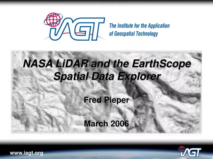
NASA LiDAR and the EarthScope Spatial Data Explorer. Fred Pieper March 2006. NASA LiDAR/ALSM. NASA Contribution to EarthScope Available to entire Geophysical Community Areas Currently Available: San Andreas Mt. Rainier Mt. St. Helens Darrington, WA Types of Products:

E N D
NASA LiDAR and the EarthScope Spatial Data Explorer Fred Pieper March 2006
NASA LiDAR/ALSM • NASA Contribution to EarthScope • Available to entire Geophysical Community • Areas Currently Available: • San Andreas • Mt. Rainier • Mt. St. Helens • Darrington, WA • Types of Products: • Bald Earth (DEM & Shaded Relief) • Highest Surface (DEM & Shaded Relief) • Potential for Others
NASA LiDAR File Characteristics • Imagery Assembled into Mosaics • based on USGS 7.5 minute quadrangle boundaries • east-west strip covering north or south half of adjacent quadrangles • DEMs at 6 foot Grid Spacing, 13 cm Vertical Accuracy • Shaded relief images • Illumination Azimuth: 225 degrees • Illumination Elevation: 60 degrees • 3x3 kernel size • GeoTIFF format: 5 – 150 MB • JPG Thumbnails • FGDC Metadata
Example LiDAR Products Highest Surface DEM Bald Earth Shaded Relief Bald Earth DEM
ES SD-Explorer Background • Query, Browse, and Download Geospatial Observations • Java application based on technology initially developed by NASA Code 935 (Applied Information Sciences Branch) • Modified by IAGT to support various program initiatives including EarthScope • Central Metadata Database (MySQL) • Geospatial Observations can be in any data format
Access via EarthScope Sitehttp://www.earthscope.org/data/explorer.php
Application & Data Hosted by IAGThttp://www.iagt.org/earthscope/es-sde.asp
Other NASA Data Available • Landsat • ASTER • SRTM
Questions? • http://www.earthscope.org/data/explorer.php • http://www.iagt.org/earthscope/es-sde.asp • Poster • Fred Pieper fpieper@iagt.org 315-252-8669 • Dave Harding David.J.Harding@nasa.gov 301-614-6503