Download
1 / 21
210 likes | 324 Views
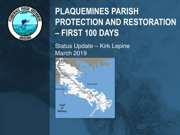
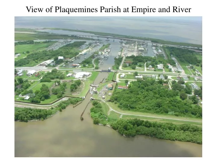
View of Plaquemines Parish at Empire and River. V 195 Reset. Survey of Route 23. GPS Baselines - Louisiana Hurricane Evacuation Route 23 Survey. Fort Jackson. VTDP Modeled Estimated Subsidence Rates (cm/yr). -0.8. -0.6. -0.7. -1.4. -1.4. -1.3. -1.4. Units = centimeters.

E N D
GPS Baselines - Louisiana Hurricane Evacuation Route 23 Survey
VTDP Modeled Estimated Subsidence Rates(cm/yr) -0.8 -0.6 -0.7 -1.4 -1.4 -1.3 -1.4 Units = centimeters
Estimated Amount of Subsidence Since 1984 Leveling (Based on VTDP Results) (-14.8) Units = centimeters (-10.6) (-13.1) (-26.4) (-26.0) (-24.1) (-26.9)
Validation of VTDT Rates Louisiana Hurricane Evacuation Route 23 Survey
Estimated Subsidence from Model minus Measured Subsidence from GPS Results Units = centimeters 0.1 -0.3 0.2 4.8* 7.3* 0.7 -0.6
Estimated Subsidence from VTDP minus Measured Subsidence from GPS Results GPS Orthometric Heights (trend removed) minus VTDP Results 0.1 (-14.8) Units = centimeters (Estimated Amount of Subsidence Since 1984 Leveling) -0.3 (-10.6) 0.2 (-13.1) 4.8* (-26.4) 7.3* (-26.0) 0.7 (-24.1) -0.6 (-26.9)
HEIGHT COMPARISONS1971 and 1984 Leveling2003 GPS-Derived (Geoid 99S), 2003 Predicted Heights (VTDP) and Published NAVD 88 D 194 R 194 A 152 C 195 EMPIRE AZ MK 2 MILAN 2 C 279
Levee Observations - Fort Jackson Area Levee Control Point
Remote Sensing LIDAR merged with Color IR Photography LIDAR DSM