Download

1 / 20
200 likes | 211 Views
Population. Issue #1. Bellwork : 09.17.2019. You will complete a Frayer Model for one of your key vocabulary terms for the past unit. Definition. Characteristics/Facts. Term. Thematic Map. Examples. Non-Examples. Today’s vocabulary terms: Population Distribution Population Density

E N D
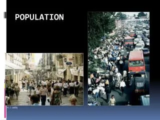
Population Issue #1
Bellwork: 09.17.2019 • You will complete a Frayer Model for one of your key vocabulary terms for the past unit. Definition Characteristics/Facts Term Thematic Map Examples Non-Examples
Today’s vocabulary terms: • Population Distribution • Population Density • Arithmetic Density • Physiological Density • Agricultural Density • Arable • Ecumene Population Issue #1
Population Concentrations • Four Major Clusters • East Asia • South Asia • Europe • Southeast Asia • Up and coming clusters • Northeastern US • Atlantic coast of Africa
Sparsely Populated Regions • Where people don’t live • Dry Lands • Wet Lands • Cold Lands • High Lands • The ecumene: the portion of the Earth’s surface occupied by human settlement.
Population Density • Arithmetic Density: total number of people divided by total land • Physiological Density: the number of people supported by a unit of area arable land • Agricultural Density: ratio of number of farmers to amount of arable land
MOST POPULOUS STATES 9 3 10 1 6 8 2 7 4 5
Today’s Agenda: 09.18.2019 • Bellwork • Reading Quiz Ch2. Key Issues 1-3
Bellwork 09.18.2019 • The map shows the distribution of dairy farms across the lower 48 of the United States. Each dot on the map represents approximately ten dairy farms. • Identify ONE type of boundary data shown on the map. • Identify the region of the United States where most dairy farms are located. • Describe TWO geographic features not shown on the map that would help explain the patterns of dairy farming shown on the map.