Download
1 / 6
60 likes | 150 Views
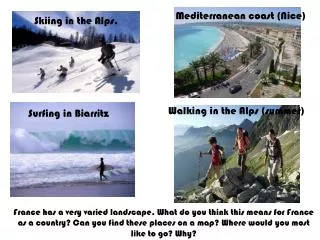
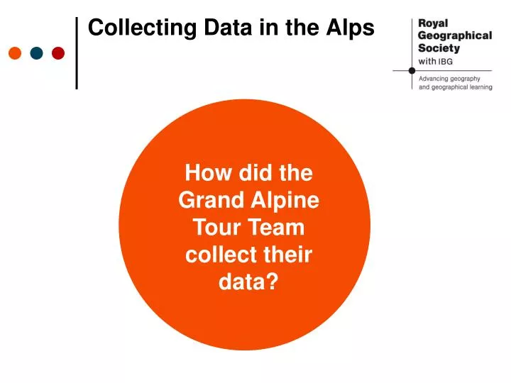
Collecting Data in the Alps. How did the Grand Alpine Tour Team collect their data?. Helicopter. Can be used to take aerial photographs and survey the area to be studied in more depth at ground level It can observe access points, areas of risk and allow for the planning of the data collection.

E N D
Collecting Data in the Alps How did the Grand Alpine Tour Team collect their data?
Helicopter • Can be used to take aerial photographs and survey the area to be studied in more depth at ground level • It can observe access points, areas of risk and allow for the planning of the data collection Source: Grand Alpine Tour (2014)
Unmanned Aerial Vehicle • A radio controlled ‘drone’ is able to have video and photographic cameras attached to it • Its on-board computer can recognise its start and finish points Source: Grand Alpine Tour (2014)
Land Rover Discovery • Designed to be driven over rough terrain • Can be used to drive the UAV (and other field equipment) into difficult to access areas for launch Source: Grand Alpine Tour (2014)
Structure-from-motion photogrammetry • The UAV camera flies parallel to the slope • It rapidly takes photos of the slope that overlap each other • Therefore the same point is ‘captured’ from multiple perspectives • When repeated several times, a 3D image of the slope can be produced Source: Grand Alpine Tour (2014)
Using the data • Creating a large scale 3D point cloud (a digital model of the slopes) allows the team to look at the Alps as a much larger system rather than only one small part of it at a time. • By measuring the size and shape of the trim line (a rock line created by the retreat of a glacier) over a number of visits, before and after landslides, the team can work out which particular set of characteristics make a slope most prone to landslides. • This may enable them to predict the location of future landslides.