Download
1 / 29
300 likes | 703 Views
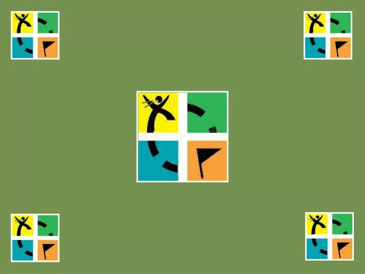
Welcome to Geocaching!. The sport where YOU are the search engine TM www.geocaching.com. The Groundspeak Geocaching Logo is a trademark of Groundspeak, Inc. (Used with permission). What is Geocaching?. Geocaching is an entertaining outdoor adventure game for GPS users of all ages.

E N D
Welcome to Geocaching! The sport where YOU are the search engineTM www.geocaching.com The Groundspeak Geocaching Logo is a trademark of Groundspeak, Inc. (Used with permission)
What is Geocaching? • Geocaching is an entertaining outdoor adventure game for GPS users of all ages. • The basic idea is to set up caches (hidden prizes) all over the world and share the locations (Latitude / Longitude) of these caches on the internet.
What is Geocaching? Using the Geocaching Website, www.geocaching.com, you can search for caches by: • By Postal Code • By Coordinate • By State/Country • By Keyword • By Username (Found)/(Hidden) • By Waypoint Name, and • By Address (US Only)
What is Geocaching? • GPS users can then use the coordinates to find the caches. • Once found, the visitor may take something from the cache, leave something, and/or sign the logbook. • The ‘find’ is then logged onto the Internet website where statistics about found and hidden caches are maintained.
Geocaching and the Environment In 2003, geocachers around the world organized 67 cleanup events in 5 countries and 28 States. The events were such a huge success that Groundspeak (corporate owner of Geocaching.com) is committed to carrying on the tradition. Goals • Actively promote the Cache In Trash Out program. • Assist in the maintenance of parks & trail systems. • Increase public awareness of Geocaching.
How Did It Get Started? • On May 1, 2000, the GPS signal degradation called Select Availability (SA) was removed. • The change allowed GPS units owned by civilians to now be accurate to within as close as 6 feet. • On May 3rd, someone hid a ‘cache’ in Oregon. It was visited twice within 3 days and logged in the log book once.
How Did It Get Started? • Mike Teague, the first to find it, built a web page to document the ‘caches’. • Jeremy Irish, the current operator of the Geocaching website, expanded the idea and used the name ‘geocaching’. • On September 6th, four months after the first ‘hide’, the official torch was passed to Jeremy. Geocaching is now in all 50 states and in over 200 countries.
What is a GPS? A GPS (Global Positioning System) unit is an electronic device that can determine your approximate location (within 6-20 feet) almost anywhere on the planet.
What is a GPS? • A GPS uses a system of 27 satellites (24 active, 3 reserve) to calculate your position. • The GPS receiver can ‘see’ at most 12 of the 24 satellites at any one time.
What is a GPS? • Since the GPS unit ‘knows’ your position and tracks time, it can calculate distance, speed, direction, and even elevation. • You can use the unit to navigate from your current location to another location.
What is a GPS? • Some units have their own maps, built-in electronic compasses, altimeters, and even voice navigation. • Don’t worry though, a GPS device doesn’t send signals, it only receives them. So . . . no one can track your location!
How do GPS devices work? • Let’s say you don’t know where you are but a passerby tells you that you’re 238 miles from Cleveland. • That puts you anywhere on the perimeter of a circle around Cleveland!
How do GPS devices work? • Another passerby stops and tells you you’re 340 miles from Boston. • So not only are you on the perimeter of the circle around Cleveland, but around Boston too. • There are now only two possible locations!
How do GPS devices work? • Finally, someone stops and tells you that you’re 272 miles from Baltimore. • You now know right where you are!
GPS options to consider 12 channel receiver Waterproof Altimeter Electronic compass Basemap Optional maps Memory size Rocker keypad WAAS/DGPS Computer interface Power source Color screen Backlit screen External antenna jack Screen size
Basic GPS FeaturesThe Power Button Press the power button and hold for 1 second to turn it on. Press again to turn the backlight on Press again to turn the backlight off Press and hold to turn the unit off
Basic GPS FeaturesThe Satellite Page After powering it up, the unit will attempt to ‘lock’ onto the satellites. You must be outdoors with a clear view of the sky to get a signal. Once locked on, you’re ready to navigate!
Basic GPS FeaturesMark A Waypoint The first thing you want to do is to mark your starting location. Press and hold the Enter button till the Mark Waypoint window appears. Use the Up/Down buttons to move to the various fields. Then press Enter when you’re at the OK field.
Basic GPS FeaturesReview Waypoint / GoTo To locate a previously stored waypoint, use the Page button to get to the Menu page. Use the Up/Down buttons to move down to the Waypoints category and press Enter.
Basic GPS FeaturesReview Waypoint / GoTo Then, using the Up/Down buttons, move down to the desired Waypoint Group and press Enter. Now move down to the desired Waypoint and press Enter.
Basic GPS FeaturesReview Waypoint / GoTo Now you can either use the selected waypoint or you can edit it. To go to the waypoint, move down to the GOTO selection and press Enter.
Basic GPS FeaturesThe Compass / Pointer Page The GPS unit now displays the basic Pointer Page This page is used to navigate to the chosen waypoint by following the pointer arrow.
I’m Lost!!! • If you get lost, don’t forget that you marked (or should have marked) your location when you started. • Search for the waypoint you marked, select GOTO, and head back to civilization! • Don’t forget to take extra batteries and a compass with you!