Download
1 / 8
80 likes | 85 Views
This workshop focuses on the computing, data-sharing, and analysis needs of the natural resource, environmental management, and ecological information community. It aims to promote the availability of datasets, tools, and analysis methods to a larger and more inclusive audience.

E N D
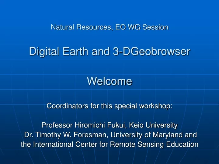
Natural Resources, EO WG SessionDigital Earth and 3-DGeobrowserWelcome Coordinators for this special workshop: Professor Hiromichi Fukui, Keio University Dr. Timothy W. Foresman, University of Maryland and the International Center for Remote Sensing Education
The purpose of the Natural Resources and Earth Observation WG • provide a technical and educational focus at APAN for the spatial computing, data-sharing, and analysis requirements of the natural resource, environmental management, and ecological information community. • There is a real living, and growing need for datasets, tools, and methods of analysis to be available to an ever larger and more inclusive community.
GIS EO covers ….. DATA RESOURCES PROCESSING RESOURCES USERS Industry Markets Utility Companies Telecom Civil Engineering Niche Integrators Petroleum Intelligent Transport Public Markets Environment Resources Mgmt Infrastructure Urban Planning Disaster Relief Public Safety IVHS Business Markets Real Estate Insurance Banking Cadastral Water resources Land Use Zoning Highway Traffic Transit Water supply Sewer Storm drains Gas & electric Telecom. lines Political Surface geology Hazards Public safety Population Real-time feeds Earth imagery GIS Earth Imaging CAD Mapping GPS Navigation Facilities Mgmt. Database software OODBMS RDBMS Universal server . . . Desktop publishing Document imaging Workflow Decision support from Open GIS Consortium, Inc.
Constituent organizations include: • Government: National, state, regional, and municipal agencies with mandates to manage and regulate activities that affect the natural environment. • Private sector: Agricultural, land development, and manufacturing interests whose activities are in whole or part governed by the statutes and regulations overseen by the above governmental organizations. Also the supporting businesses that provide planning services, architectural expertise, civil engineering, and scientific consultation. • Academic and scientific: Research groups and advisory councils that serve decision makers at all levels. • The public at large, as interested citizens, enthusiasts, and individuals increasingly concerned about the status and health of the local, regional, and global environment.
Datasets may include • Vegetation types • Wildlife distribution, habitats and migration corridors • Fisheries data • Open space and wildlands delineations • Soils surveys • Mineral deposits • Hydrographic features • Wetlands delineations • Agricultural croplands • Occurrences of plant and animal species of special concern, maintained by state governments (e.g., California Natural Diversity Database, and counterparts in other states) or other organizations. • Zoning and special use districts • Meteorological and climatological datasets • Epidemiological surveys, including spread of plant and animal diseases and vectors. • Real-time data streams garnered from sensors and instruments that monitor the state of any number of environmental variables.
The professionals who use and provide geodata and related services within the environmental domain include: • National, state, regional, countywide, and municipal regulatory officials and staff • Agricultural analysts, businesspeople, and workers • Planners and other personnel in their departments • Government officials, economists, and other professionals concerned with promoting sustainable development on a national or regional basis. • Developers and civil engineers • Forestry and wood products specialists • Range management professionals and other individuals in the cattle industry • Hydrologists and water quality specialists • Meteorologists, climatologists, air quality professionals • Geologists and geophysicists • Community or regional public health professionals • Academics, in departments of environmental studies, agriculture, and ecology • Environmental consultants • Attorneys, legislators, and other policy makers
Digital Earth and 3-D Geobrowser Session • Earth Observation-GISWorld and Network World to work together for Environment • New ideas and techniques • present the state-of-the-practice of the current systems with special emphasis targeted on the access and distribution of global satellite data sets and large area data archives • Hands-On demos • Discussion
3 Sessions 1.Saturday July 3rd, 0900-1230(Room A–100) • Sessions outlines and goals, H.Fukui, Keio University • Geobrowser background and Capacities and trends, T.Foresman, UML • Digital Earth related activities, H.Fukui, Keio University 2.Saturday July 3rd, 1400-16:00(Room A–100) • Data utilization promotion of JAXA’s Earth observation satellite data by using Open GIS Interface and streaming digital Earth technology, I.Nakanishi, JAXA • Hand on Demo ArcGlobe and Geography Network status, N. Miura, Pasco Co. Digital Earth Server, Y. Furuse, Falcon Co. • Digital Asia related activities, H. Fukui, Keio University 3.Sunday July 4th, 1400-1530 (Room A-100) • Spatial Information: A tool to Support Decision Makers, P.Apaphant, GISTDA • Panel review and discussion of Digital Asia Future Activity