Download
1 / 21
210 likes | 232 Views
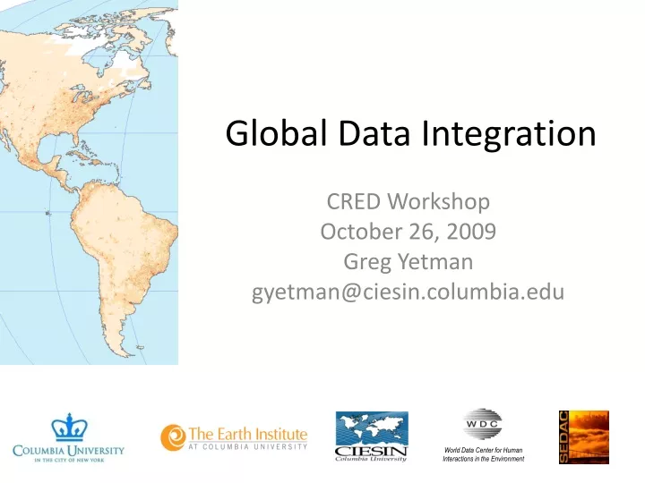
World Data Center for Human Interactions in the Environment. Global Data Integration. CRED Workshop October 26, 2009 Greg Yetman gyetman@ciesin.columbia.edu. Focus on the need for publicly available, spatially integrated framework data Best Solutions? Interoperable services, data standards.

E N D
World Data Center for Human Interactions in the Environment Global Data Integration CRED Workshop October 26, 2009 Greg Yetman gyetman@ciesin.columbia.edu
Focus on the need for publicly available, spatially integrated framework data • Best Solutions? • Interoperable services, data standards http://sedac.ciesin.columbia.edu/GSDworkshop/
Administrative Units by Region *Census blocks (8 million units) have now been processed for the United States
GRUMP Points 55,000 places with population estimates
The Global Disaster Risks Hotspots study completed in 2005-06 compared mortality risks from 6 major natural hazards (floods, drought, cyclones, earthquakes, volcanoes, and landslides) taking into account exposed population and associated vulnerability on a 2.5’ x 2.5’ grid. Natural Disaster Hotspots Data integration - Hazards data (risk and occurrence) - Exposure data (pop) - EM-DAT data on mortality
Natural Disaster Hotspots The hotspots analysis also revealed significant economic loss “hotspots” in both developed and developing countries, comparable to levels of development assistance. Data integration - Hazards data (risk and occurrence) - Exposure data (GDP PPP) - EM-DAT data on economic losses
Available as Open Map Services http://sedac.ciesin.columbia.edu/mapviewer/index.jsp?cntx=Hazards.xml
Drought Counts by Admin UnitGeoreferenced from EM-DAT Drought Events 1 - 2 3 - 4 5 - 6 7 - 9 1969-2004
Drought Indicators:Standardized Precipitation Index Drought Events 1 - 4 5 - 6 7 - 8 9 - 11 12 - 18 1952-2007
Can we build a better roads database? • gROADS: • - Sponsored project of • CODATA and UN- • GAID • - Aiming for improved • accuracy, completeness, • topological integration, • update frequency, • accessibility • Current focus: GPS data • collection in Ethiopia funded • by Gates Foundation
Will Climate Change Lead to Mass Migration? • Data integration • - Spatial drivers of migration • Qualitative data on • migration • Need to find way to get • better data!
Vietnam Cambodia Ho Chi Min City + low elevation coastal buffer How many people are exposed to potential sea-level rise? Data integration - global sea-level - subnational population, gridded
Which countries are most environmentally sustainable? Partnership with Chinese Academy of Environmental Planning exploring options within China Data integration - over 115 global environmental data sets
Where are the next emerging infectious diseases likely to strike? • List activities here • Data integration • - spatial database over 500 emerging • diseases • Spatial data on drivers, including • human and wildlife population
Does climate stress make war more likely? Data integration - Georeferenced civil war incidence - Precipitation, runoff grid
What our future holds • Improving ability to explain complex dynamics – interactions across multiple spatial time series • Land cover change • Hazard vulnerability • Water scarcity • Improving ability to monitor the things that matter most • Food and water security • Soil fertility • Migration • Improving ability to project into the future • Emerging diseases • Urbanization patterns • Drivers of climate change vulnerability • Political instability early warning