Download
1 / 17
170 likes | 327 Views
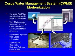
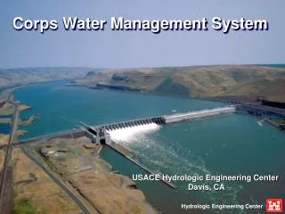
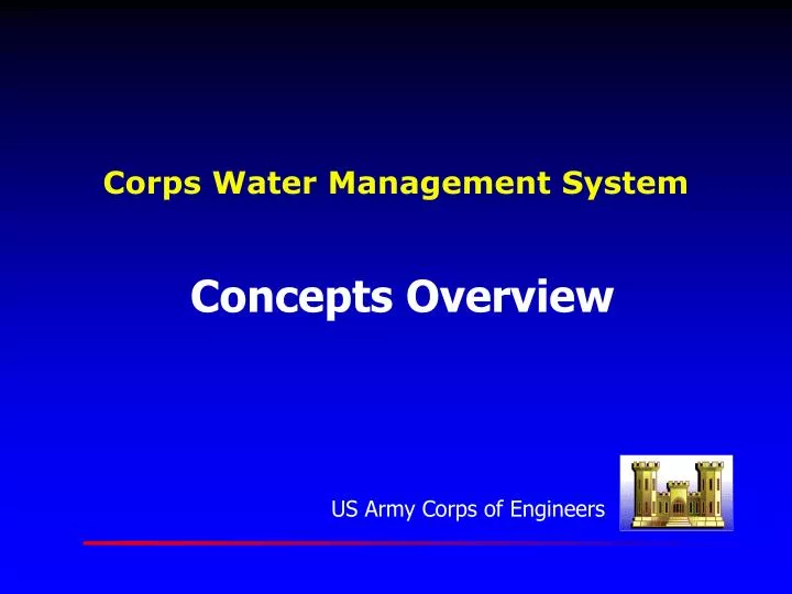
Corps Water Management System. Concepts Overview. Corps Water Management System (CWMS) Modernization. Improved Real-Time Decision Support for Water Management 700+ Multipurpose Reservoirs and Flow Control Structures, Thousands of Miles of Levees Expanded Corporate Web-Based Information

E N D
Corps Water Management System Concepts Overview
Corps Water Management System (CWMS) Modernization • Improved Real-Time Decision Support for Water Management • 700+ Multipurpose Reservoirs and Flow Control Structures, Thousands of Miles of Levees • Expanded Corporate Web-Based Information • Standardized Corporate Hardware/Software Class IV AIS
Data Acquisition Socket Connections File Transfer Goes (DCP) Format SHEF Format Data Validation Derive Parameters Data Status
Data Base Oracle RDBS Time Series Data Standard SI Units UTC Time Base Location Attributes
Summary • Modernized Water Management System • Network Based Client-Server Architecture • Data Acquisition/Data Base/Data Dissemination • Spatially distributed Hydrologic Modeling • Reservoir Operation Decision Support • River Profile/Inundated Area Mapping • Flood Impact Analysis