Download
1 / 20
200 likes | 356 Views
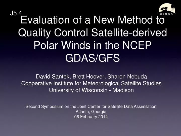
Evaluation of a New Method to Quality Control Satellite-derived Polar Winds in the NCEP GDAS/GFS. J5.4. David Santek, Brett Hoover, Sharon Nebuda Cooperative Institute for Meteorological Satellite Studies University of Wisconsin - Madison.

E N D
Evaluation of a New Method to Quality Control Satellite-derived Polar Winds in the NCEP GDAS/GFS J5.4 • David Santek, Brett Hoover, Sharon Nebuda • Cooperative Institute for Meteorological Satellite Studies • University of Wisconsin - Madison Second Symposium on the Joint Center for Satellite Data Assimilation Atlanta, Georgia 06 February 2014
Outline • Polar Winds product: MODIS and AVHRR • Current QC method • New approach • Forecast impact for one-season experiment
Satellite-derived Polar Winds Unlike geostationary satellites at lower latitudes, it is not be possible to obtain complete polar coverage at a snapshot in time with one or two polar-orbiters. Winds must be derived for areas that are covered by three successive orbits The gray area is the overlap between three orbits. Three overlapping Aqua MODIS passes, with WV and IR winds superimposed. The white wind barbs are above 400 hPa, cyan are 400 to 700 hPa, and yellow are below 700 hPa.
MODIS Polar Winds QCCurrent Thinning criteria Within 50 hPa of the tropopause Within 200 hPa of the surface, if over land qcU = qcV = 7 ms-1 (O-B)U > qcU OR (O-B)V > qcV Special case qcU = qcV = (ObsSpd + 15)/3 (IR wind within 200 hPa of surface OR WV wind below 400 hPa) AND (GuessSpd +15)/3 < qcU
New Approach • Goal: One method for screening all polar winds • MODIS, AVHRR, VIIRS • Wind speeds vary over 3 orders of magnitude (1, 10, 100 ms-1) • Normalize vector departure by Log of speed • Log Normalized Vector Departure (LNVD)
Polar Winds QCCandidate Thinning criteria Within 50 hPa of the tropopause Within 200 hPa of the surface, if over land Discards winds when Log Normalized Vector Departure (LNVD)exceeds a threshold SQRT ( (Uo-Ub)2 + ( Vo – Vb)2 ) / log(ObsSpd) > Threshold
LNVD Threshold • Discard winds LNVD > 3 • Compared to control: • Similar number of vectors discarded • Discard more slow winds • Retain more high speed winds 9 – 26 October 2012
Log Normalized Vector Departure LNVD Threshold = 3 ObsSpd* Log(ObsSpd) VecDif ------ ----------- ---------- 3 1.1 3.3 10 2.3 6.9 50 3.9 11.7 100 4.6 13.8 *Speed in ms-1
Current QC vs. LNVD3 ms-1 Current LNVD Opposite Direction! • Purple dots represent the end point of vectors that will be retained
Current QC vs. LNVD60 ms-1 Current LNVD • Blue arrow represents the wind vector at 60 ms-1 • Purple dots represent the end point of vectors that will be retained • Purple vector is one possible AMV that would be retained
Experiments • Running r29119 hybrid GDAS/GFS on S4 • 00 UTC forecast run • 1 September to 25 October 2012 • Control Current QC with operational data • MODIS LNVD => VecDiff / Log(Obs_spd) < 3 • AVHRR (NOAA-15, 16, 18, 19, Metop-A) • Current QC • AVHRR replaces MODIS
MODIS: Northern HemisphereForecast Impact: 500 hPa ACC Heights LNVD (red) Control (black)
MODIS: Southern HemisphereForecast Impact: 500 hPa ACC Heights Significant LNVD (red) Control (black)
AVHRR: Northern HemisphereForecast Impact: 500 hPa ACC Heights AVHRR-only (red) MODIS-only (black)
AVHRR: Southern HemisphereForecast Impact: 500 hPa ACC Heights AVHRR-only (red) MODIS-only (black)
AVHRR: Southern HemisphereForecast Impact: 700 hPa Heights RMSE Significant AVHRR-only (red) MODIS-only (black)
Different Verification Time • Forecast impact typically measured with 00 UTC model run • Most input data • What is AMV impact when radiosondes not available? • Examine impact for 18 UTC model run • Initial results using a 10-day period (1-10 October 2012)
MODIS: Northern HemisphereForecast Impact: 500 hPa Wind RSME 18 UTC 00 UTC Green: Reduce vector RMSE Red: Increase vector RMSE Note: Color scales are different
MODIS: Southern HemisphereForecast Impact: 500 hPa Wind RSME 00 UTC 18 UTC Green: Reduce vector RMSE Red: Increase vector RMSE
Summary • First season results are encouraging for using the LNVD quality control: Reject more slow winds; Accept more fast winds • AVHRR-only winds have a similar forecast impact as MODIS-only winds using current quality control: AVHRR, VIIRS are future • Running a second season • Forecast verification for 18 UTC model run shows increased forecast impact due to MODIS AMVs (conflict with RAOBs?) • NOAA: NA10NES4400011