Download
1 / 56
560 likes | 808 Views
Earthquakes and Volcanoes Part I. Bay Area Earth Science Institute Ellen Metzger January 24, 2009. Source: USGS. Source: NPS. Acknowledgement of Funding. This spring: the House Family Foundation through the Collaborative for Higher Education

E N D
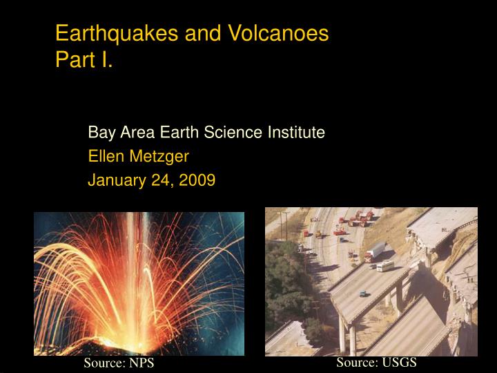
Earthquakes and VolcanoesPart I. Bay Area Earth Science Institute Ellen Metzger January 24, 2009 Source: USGS Source: NPS
Acknowledgement of Funding • This spring: the House Family Foundation through the Collaborative for Higher Education • Chevron: funding for Saturday workshops 2009-2010 and a new online component for BAESI
Earthquakes and VolcanoesFocus Questions • Where do they occur? • What causes them? • What are their impacts? • Why are some people at more risk than others? • Can we predict them? • How can we mitigate their effects?
Seismic Hazard Source: USGS
Download a complete PowerPoint presentations about plate tectonics, hazards, volcanoes and other Earth science topicsat:Your Planet Earthhttp://www.earth4567.com/
What are tectonic plates made of? • Plates are made of rigid lithosphere. The lithosphere is made up of the crust and the upper part of the mantle. Source: Your Source: Your Planet Earth
The Crust • This is where we live! • The Earth’s crust is made of: • Continental Crust • thick (10-70km)- buoyant (less dense than oceanic crust) - mostly old Oceanic Crust - thin (~7 km)- dense (sinks under continental crust)- young Source: Your Planet Earth
Plate Movement “Plates” of lithosphere are moved around by the underlying hot mantle convection cells Source: Your Planet Earth
Divergent Convergent Transform Three types of plate boundary Source: Your Planet Earth
Spreading ridges As plates move apart new material is erupted to fill the gap Divergent Boundaries Source: Your Planet Earth Source: Your Planet Earth Source: Your Planet Earth
Age of Oceanic Crust Courtesy of www.ngdc.noaa.gov
Iceland: An example of continental rifting • Iceland has a divergent plate boundary running through its middle Source: Your Planet Earth
Convergent Boundaries • There are three styles of convergent plate boundaries • Continent-continent collision • Continent-oceanic crust collision • Ocean-ocean collision
Continent-Continent Collision • Forms mountains,e.g. European Alps, Himalayas
Continent-Oceanic Crust Collision • Called SUBDUCTION Source: Your Planet Earth Source: Your Planet Earth
Subduction • Oceanic lithosphere subducts underneath the continental lithosphere • Oceanic lithosphere heats and dehydrates as it subsides • The melt rises forming volcanism • E.g. The Andes Source: Your Planet Earth
Ocean-Ocean Plate Collision • When two oceanic plates collide, one runs over the other which causes it to sink into the mantle forming a subduction zone. • The subducting plate is bent downward to form a very deep depression in the ocean floor called a trench. • The worlds deepest parts of the ocean are found along trenches. • E.g. The Mariana Trench is 11 km deep!
Transform Boundaries • Where plates slide past each other Above: View of the San Andreas transform fault Source: Your Planet Earth
California Tectonics: Present Source: USGS
Cartoon of the subduction zone present on the West Coast 100 million years ago showing position of the Franciscan accretionary complex. Source: National Park Service
http://www.nps.gov/prsf/naturescience/images/Subduction-animation_1.gifhttp://www.nps.gov/prsf/naturescience/images/Subduction-animation_1.gif
What Is An Earthquake? An earthquake is the vibration of Earth caused by a rapid release of energy in the form of waves http://geography.sierra.cc.ca.us/booth/California/1_lithosphere/earthquakes.htm
Elastic Rebound Source: USGS Source: USGS
Types of Earthquake Waves • Surface waves • Complex motion • Slowest velocity of all waves • Body waves 1. Primary (P) waves • Push-pull (compressional) motion • Travel through solids, liquids, and gases • Greatest velocity of all earthquake waves 2. Secondary (S) waves • "Shake" motion • Travel only through solids • Slower velocity than P waves
Seismic Waves http://www.waterland.com.hk/images/profile/Seismic-Move.gif
A seismogram records wave amplitude vs. time http://ww2.lafayette.edu/~malincol/Geol120/seismogram.GIF
Locating an epicenter from 3 seismograph stations http://www.tulane.edu/~sanelson/geol111/earthint.htm
Intensity – determined by effects on people, structures, and the environment Magnitude – measures energy released at the source of the earthquake.. Measuring The Size of An Earthquake
Magnitude From Amplitude http://www.earthquakes.bgs.ac.uk/earthquakes/education/eq_booklet/dia_richter_scale.jpg
Intensity • Witness observations I • Felt by very few people; barely noticeable II • Felt by a few people, especially on upper floors. III • Noticeable indoors, especially on upper floors, but may not be recognized as an earthquake. Hanging objects swing. IV • Felt by many indoors, by few outdoors. May give the impression of a heavy truck passing by. V • Felt by almost everyone, some people awakened. Small objects move. Trees and poles may shake. VI • Felt by everyone. Difficult to stand. Some heavy items of furniture move, plaster falls. Slight damage to chimneys possible. VII • Slight to moderate damage in well-built, ordinary structures. Considerable damage to poorly built structures. Some walls may fall. VIII • Little damage in specially built structures. Considerable damage to ordinary buildings, severe damage to poorly built structures. Some walls collapse. IX • Considerable damage to specially built structures, buildings shifted off foundations. Noticeable cracks in ground. Wholesale destruction. Landslides. X • Most masonry and frame structures and their foundations destroyed. Ground badly cracked. Landslides. Wholesale destruction. XI • Total damage. Few, if any, structures standing. Bridges destroyed. Wide cracks in ground. Waves seen on ground. XII • Total damage. Waves seen on ground. Objects thrown up into air. Abbreviated Modified Mercalli Intensity Scale
Did You Feel It? http://earthquake.usgs.gov/eqcenter/dyfi.php
Moment = µ A D µ = shear modulus A = LW = areaD = average displacement during rupture Source: USGS The seismic moment is a measure of the size of an earthquake based on the area of fault rupture, the average amount of slip, and the force that was required to overcome the friction sticking the rocks together that were offset by faulting. Moment Magnitude
Earthquake Hazards • Ground shaking • Liquefaction • Ground Rupture • Landslides • Tsunamis • Fire
Shaking http://www.abag.ca.gov/bayarea/eqmaps/gif99/bayas06m.gif
Liquefaction http://www.tulane.edu/~sanelson/images/liquefaction.gif Niigata Earthquake, Japan, 1964: Tilting of apartment buildings http://cee.uiuc.edu/sstl/education/liquefaction/Pictures/APTS.jpg
Asian Earthquake and Tsunami of 2004What Happened and Why? Magnitude 9 earthquake • Largest earthquake since the 9.2 magnitude Alaskan earthquake (1964) • Energy release equivalent of 23,000 atom bombs such as the one that destroyed Hiroshima • Why did it occur here?
Earthquakes and Tsunamis What, besides earthquakes, can cause a tsunami?
Tsunami Risk in California • California is at risk of tsunamis that are generated locally and from a distance. • 1964: 10 killed and 35 injured when tsunami from the 1964 Alaska earthquake reached Crescent City (Oregon/CA border). • A Cascadia earthquake could bring a tsunami to Northern CA in ~ 15 minutes.
Comparison of Plate Tectonic Settings Cascadia Sunda Trench http://www.eeri.org/lfe/clearinghouse/sumatra_tsunami/reports/
Earthquakes: Can We Predict Them? • Science vs. pseudoscience • Short-term prediction vs. long-range forecasting. • Prediction vs. prevention
Short-term Prediction Precursors: May or may not occur • Uplift • Foreshocks • Anomalous animal behavior • Changes in water levels in wells • Release of radon gas • Changes in velocity of P waves
Long-Range Forcasting • Based on knowledge of when and where past earthquakes have occurred. • Paleoseismology – record of past offsets and recurrence interval • Seismic gaps
A Bogus Prediction • Iben Browning, a climatologist and businessman • Predicted earthquake for Dec. 3, 1990, in the New Madrid region, Missouri • Based on pull of Sun and Moon on our planet – scientists had studied this and found no correlation • Prediction appeared in his private newsletter – no peer review • Physcological upset • Schools, businesses, etc. closed in 4 states • Media blitz, “I survived the earthquake T shirts” etc.
The Hayward Fault America’s Most Dangerous Fault? A tectonic “time bomb”