Download
1 / 21
210 likes | 381 Views
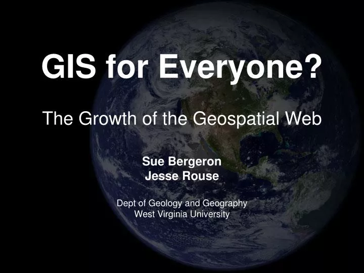
GIS for Everyone? The Growth of the Geospatial Web. Sue Bergeron Jesse Rouse Dept of Geology and Geography West Virginia University. What is the Geospatial Web?. Web 2.0 AJAX & ATLAS Web Services XML driven data and processing Web-based mapping Commercial and OpenSource

E N D
GIS for Everyone?The Growth of the Geospatial Web Sue Bergeron Jesse Rouse Dept of Geology and Geography West Virginia University
What is the Geospatial Web? • Web 2.0 • AJAX & ATLAS • Web Services • XML driven data and processing • Web-based mapping • Commercial and OpenSource • Collaborative mapping • Mash-ups
The basis of the Geospatial Web • History • MapQuest, IMS, WebMap, MapServer • Today (2005) • Where 2.0 • Introduction of mapping applications • Mash-Ups • Ambient Findability (2005) • Links information science and geospatial tech
Beyond data capture • Now moving to greater data access • Information for the masses • Open ‘commercial’ access to global, often high resolution, information • Google Earth • Google Local • Virtual Earth • Yahoo! Maps
Web 2.0 mapping sites • Shared features • Free, ‘easy-to-use’ API • Collaborative mapping/Mash-ups • Google Maps • First in market with hybrid (road and raster) • Virtual Earth • MapCruncher • Yahoo! Maps • Flash and AJAX interfaces
Web Services • Services-Oriented Architecture (SOA) • Client-server schema • Services can support • Data access, processing, analysis • Geoprocessing services turn IMS to IGS • ArcGIS Server • OGC Geo Processing Workflow (GPW)
Digital globe initiatives • Google Earth • KeyHole • World Wind • Punt • Leica Virtual Environment • ArcGIS Explorer • ArcScene • ArcGlobe • Scientific use of Virtual Globes conferences
Immersive Environments • Virtual Worlds • Second Life • Metaverse Roadmap • “What happens when video games meet Web 2.0? When virtual worlds meet geospatial maps of the planet? When simulations get real and life and business go virtual? When your avatar becomes your blog, your desktop, and your online agent? What happens is the metaverse”
Geospatial Semantic Web • Semantic web attempts to create a universal schema for information exchange • The Geospatial Semantic Web seeks to develop schema to support spatial information exchange • OCG’s GSW Interoperability Experiment
GIS for everyone? • The geospatial web is: • moving the idea of mapping forward • New map makers creating mash-ups • broadening the user-base of geospatial info • repositioning the balance of geospatial tech • Traditional industry leaders are pressed to keep up with new trends • The trend is toward mapping for everyone • GIS will remain professionally driven