Download
1 / 25
250 likes | 262 Views
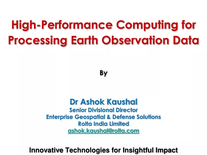
High-Performance Computing for Processing Earth Observation Data By Dr Ashok Kaushal Senior Divisional Director Enterprise Geospatial & Defense Solutions Rolta India Limited ashok.kaushal@rolta.com. Innovative Technologies for Insightful Impact. Agenda. Trends Needs Process Automation

E N D
High-Performance Computing for Processing Earth Observation Data By Dr Ashok Kaushal Senior Divisional Director Enterprise Geospatial & Defense Solutions Rolta India Limited ashok.kaushal@rolta.com InnovativeTechnologies for Insightful Impact
Agenda • Trends • Needs • Process Automation • GeoImaging Accelerators/ GXL • Job Processing Systems/ JPS • Conclusions
Trends • 230 EO[versus 107 in last decade] satellites projected over next decade for use of satellite imagery • Emerging markets expected to account for 75 satellites - four-fold increase over last decade • 41 Nations[currently 26] to have own satellites • Commercial sale of EO data expected to double • Commercial EO data from satellites expect CAGR of 15% over next 10 years, reaching $4 billion by 2019 • Optical data will represent 79% of overall sales • Number of high resolution satellites offering commercial data are expected to double from currently 24 ‘Satellites to be Built & Launched by 2019, World Market Survey’, Euroconsult
Trends • Exponential increase of volumes of satellite EO data • Increasing value of EO data with applications in • Agriculture, Environment, Urban Development, Disaster Management, Surveillance and others • Increasing value of up-to-date info • RapidEye, GeoEye, Digital Globe, IRS/ Cartosat • Significant growth of awareness in EO data • Google Earth, Microsoft Bing Maps, Bhuvan • Increasing importance of collaboration and sharing of current data/information for Situational Awareness
Needs • Satellite Programming • Timely Data Acquisition • Process Automation • Data Pre-Processing • Data Management • Data Dissemination • Information Sharing • Geo Collaboration
Process Automation For Production Move from this To This
Incoming raw image Extract raw Image to native format Collect GCP Using Master Image Refine collected GCP Compute Math Model Orthorectify Raw Image Load Image to Oracle Database Oracle Database Process Automation
Geoimaging Accelerator (GXL) Geoimaging Accelerators are automated workflows created from linking together of any number of pluggable image processing functions
Geoimaging Accelerator (GXL) • Objectives: • Need for large volume image data processing • to reduce image pre-processing bottlenecks • Demand for greater automation & less user interaction • to save money on operator time • Workflows that can scale across multiple processors • to add capacity as and when needed • Plug & Play architecture • to add new components or functions to expand • Cost Effective Solution to Remain Competitive • to run 24/7 with zero or little operator intervention
Ingest GXL Output Job Processing System (JPS) Geoimaging Accelerator (GXL) • Distributed processing • Two levels • Basic • Automated CPU • Accelerated • Multi-core CPU • Optimized GPU • Ortho / Ortho XL • Satellite & Airphoto • PanSharp / PanSharp XL • Mosaic/ Mosaic XL
Geoimaging Accelerator (GXL) WorldView-1 Level 1b e.g. Orthorectification GXL Ortho Product RPC Model Calculation Orthorectification DEM Ortho / Ortho XL UltraCam X Imagery e.g. Ingest GPS/INS Orthorectification GXL Format & Tile Ortho Product AP Model Calculation Orthorectification DEM Airphoto / Airphoto XL
Geoimaging Accelerator (GXL) Pan and MS Imagery PanSharp GXL PanSharp Product Pan Sharpening Orthophotos Mosaic GXL Mosaic Product Colour-Balance Cutline Selection Mosaic Stereo Pair DEM Extraction GXL Raster DEM Epipolar Rotation DEM Extraction Geocoding
Geoimaging Accelerator (GXL) • Accelerated GXL? • A hardware-based, GPU enabled, high-performance image processing system • Design to process large volumes • 40 times faster than desktop product • 2-4 TB per day for desk-side system • 10 TB + for rack mounted system Orthorectify & Mosaic India in a Day!
Geoimaging Accelerator (GXL) Layer: Component: Integration: Interface Layer Job Processing System Data / Imagery Level Workflows: GXL Bindings: Python, Java Architecture Processing Layer Operations / Systems Level C++ SDK GPU / HW PPFs Formats: BIL, TIFF, etc. Algorithms: Pansharp, Ortho, etc. Architecture Layer HW / Architecture Level
Geoimaging Accelerator (GXL) • Flexible orthorectification: • Support for several sensors (SPOT, QB, Ikonos, WV, …) • Optional radiometric calibration of SPOT images • Optional GCP collection from multiple reference data types • Flexible mosaicking: • Mosaics from mixed-resolution raw scenes • Optional tie point collection and refinement • Various types of color balancing • Various tiling schemes • High quality: • Sub-pixel accuracy of GCPs and orthoimages • Nicely color-balanced mosaics Highlights
Geoimaging Accelerator (GXL) Processing Metrics
Geoimaging Accelerator (GXL) Processing Throughput
Geoimaging Accelerator (GXL) Cost $1,000 500 GXL Rack Accelerated 5000 Orthos per day Plus 100 Image Mosaic per day 5TB Project Scale GXL Deskside Accelerated GXL Basic 200 2000 Orthos per day 1TB Project Scale 100 Orthos per day 50GB Project Scale Batch Processing 10 20 Orthos per day 10GB Project Scale GB 1 - 5TB 5 - 10TB Performance /Day
GeoImaging Accelerator • Environmental • Carbon sequestration • Biomass estimation • Agricultural • Crop yield • Crop forecasting • Aerospace & Defense • Border monitoring • Disaster management • Data Supply • Product delivery • Archive re-processing Applications
JPS Database Computer Computer Computer Computer JPS Processing Server JPS Processing Server JPS Processing Server JPS Processing Server Job Job Job Job Job Job Job Job Processing System • Distributed Processing System • Run multiple jobs concurrently on multiple servers
Job: An entry in the JPS-DB A Process started and monitored by a Processing Server Processing Server Daemon managing jobs Processing Server Job Job Job Processing System JPS-DB
Job Processing System • Distributed Cloud Computing (Autonomous Nodes) • Automatic Load Balancing • Simple Web Interface • Threefold Value: • Automation = Increased Throughput (Revenue) • Job Tracking = Improved QA (Operational Costs) • Multi-Platform, Multi-Language = Sustainability JPS-DB Job Job GXL2 Job Job GXL1 Job Job Other Nodes 22
Effective use of voluminous satellite imagery from numerous high-resolution satellites desires automated pre-processing using HPC Distributed processing using multi-core CPU and GPU with CUDA and Open MP provides an ideal platform for faster turn-around-time during pre-processing of geoimaging Conclusions