Download
1 / 14
140 likes | 288 Views
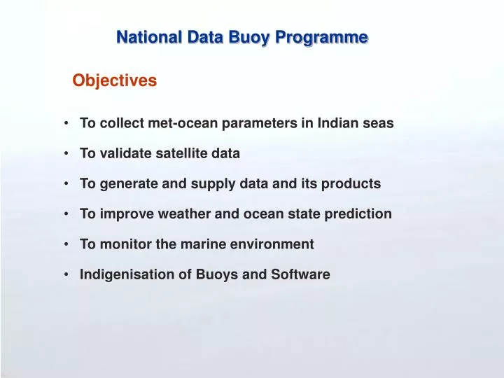
National Data Buoy Programme. Objectives. To collect met-ocean parameters in Indian seas To validate satellite data To generate and supply data and its products To improve weather and ocean state prediction To monitor the marine environment Indigenisation of Buoys and Software. INDIA.

E N D
National Data Buoy Programme Objectives • To collect met-ocean parameters in Indian seas • To validate satellite data • To generate and supply data and its products • To improve weather and ocean state prediction • To monitor the marine environment • Indigenisation of Buoys and Software
INDIA Pipavav SW1 Paradip Mumbai DS4 SW2 Bay of Bengal Goa Machillipatnam SW3 DS1 DS5 NIOT Mangalore Arabian Sea DS3 SW4 SW6 Chennai NIOT Tuticorin DS2 SW5 Car Nicobar SW7 WAVESCAN SEAWATCH Buoy Network (1997-2002)
Discus Buoy • Characteristics • Weight: 924 kg • Diameter: 2.8 m • Max height: 6.75 m • Sensors • Air Temperature • Air Pressure • Humidity • Wind Speed & Direction • Wave Height, Period & Direction • Surface Current Speed & Direction • Water Temperature • Conductivity
Spar Buoy • Characteristics • Weight : 450 kg • Height : 6.5 m • Diameter : 1.2 m • Sensors • Air Temperature • Air Pressure • Humidity • Wind Speed & Direction • Wave Height, Period & Direction • Surface Current Speed & Direction • Water Temp • Conductivity • Radioactivity • Oxygen • Chlorophyll • Optisensor (turbidity)
Current Buoy Network INDIA Pipvav SW1 Mumbai SW2 Arabian Sea DS4 MB12 Machillipatnam Goa SW3 DS1 DS5 MB11 SW6A NIOT Bay of Bengal SW4 Mangalore Chennai SW6 DS3 MB10 DS2 OB8 Tuticorin DS6A SW5 DS7 OT1 DS7A DS6
New Delhi Chennai • IMD • Coast Guard • Ports • INCOIS Head Quarters East Coast West Coast Real-Time Data Reception & Dissemination End Users Satellite Data Buoys Land Earth Station Shore Station NIOT
Raw Data ORKAN Data Base & Log Data Base Automated Preprocessing (Range, spikes, etc.,) Visual Assessment (OCEAN INFO & ORIGIN) Comparison with climatological and previous years buoy data; Inter-database comparison; Comparison with data from Satellite, Ship, etc Flagging Quality Control Data Organising Formatting Store Dissemination to End Users Data Organising & Quality Controlled
Quality Controlled Data Meteorological: Air Temperature Air Pressure Wind Speed & Direction Humidity Precipitation Short & Long Wave Radiations Oceanographic: Wave Height, Direction & Period (Spectrum) Current Speed and Direction Surface Temperature Salinity Water Quality: Dissolved Oxygen Chlorophyll-A Turbidity / Yellow Substance Hydrocarbon Radioactivity Data Products Single Parameter Distribution Joint Occurrence Table Time Series Plot Function Plot Progressive Vector Diagram Scatter Plot Rose Vector Diagram Data Report Analysis Extreme Value Analysis (Weibull & Gumbel) Harmonic Analysis Spectral Analysis (Waves) Extrapolation and Interpolation of Data Data Outputs of NDBP
First fully indigenised buoy deployed off Ennore Port limits on 31st December 2002 deployed off Ennore Port on 31st Dec 2002
Classification of Buoys • Environmental Buoys (EB) • Port Buoys (PB) • Ocean Buoys (OB) • Met Buoys (MB)
Buoy Type Sensor Fit Buoy Type Sensor Fit Environmental Buoys (EB) (Any of the four sensors listed) NNutrient Sensor CChlorophyll DDissolved Oxygen CCurrent HHydrocarbon Ocean Buoys (OB) Air Temperature Air Pressure Wind Wave Current Salinity & SST Thermister Chain (in selected locations) Port Buoys (PB) Air Temperature Air Pressure Wind Wave Current Salinity & SST Met Buoys (MB) Air Temperature Air Pressure Wind SST Relative Humidity Classification of data buoys
40 Buoy Network INDIA Pipvav PB 1 EB 1 MB 1 EB 2 OB 12 Off Paradip PB 8 Mumbai PB 2 EB 8 Bay of Bengal OB 1 OB 11 Arabian Sea Machillipatnam PB 7 MB12 Goa PB 3 EB 7 OB 2 EB 3 MB11 OB 3 EB 6 OB 9 NIOT PB 4 Mangalore MB 2 Chennai EB 4 PB 6 MB10 OB 10 OB 4 OB 8 OB 5 MB 9 Tuticorin EB 5 MB 3 OB 6 Port Buoys PB 5 OB 7 Environmental Buoys MB 6 MB 4 MB 8 Ocean Buoys Met Buoys MB 7 MB 5