Download
1 / 19
190 likes | 193 Views
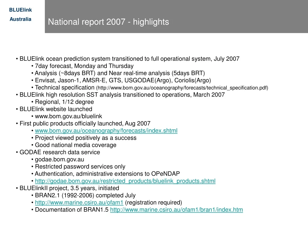
National report 2007 - highlights. BLUElink ocean prediction system transitioned to full operational system, July 2007 7day forecast, Monday and Thursday Analysis (~8days BRT) and Near real-time analysis (5days BRT) Envisat, Jason-1, AMSR-E, GTS, USGODAE(Argo), Coriolis(Argo)

E N D
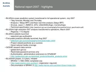
National report 2007 - highlights • BLUElink ocean prediction system transitioned to full operational system, July 2007 • 7day forecast, Monday and Thursday • Analysis (~8days BRT) and Near real-time analysis (5days BRT) • Envisat, Jason-1, AMSR-E, GTS, USGODAE(Argo), Coriolis(Argo) • Technical specification (http://www.bom.gov.au/oceanography/forecasts/technical_specification.pdf) • BLUElink high resolution SST analysis transitioned to operations, March 2007 • Regional, 1/12 degree • BLUElink website launched • www.bom.gov.au/bluelink • First public products officially launched, Aug 2007 • www.bom.gov.au/oceanography/forecasts/index.shtml • Project viewed positively as a success • Good national media coverage • GODAE research data service • godae.bom.gov.au • Restricted password services only • Authentication, administrative extensions to OPeNDAP • http://godae.bom.gov.au/restricted_products/bluelink_products.shtml • BLUElinkII project, 3.5 years, initiated • BRAN2.1 (1992-2006) completed July • http://www.marine.csiro.au/ofam1 (registration required) • Documentation of BRAN1.5 http://www.marine.csiro.au/ofam1/bran1/index.htm
National report 2007 - national activities • IMOS - Integrated Ocean Observing System • Launched 2007- $50M program (http://www.imos.org.au/) • Regional office user forum • Chart discussion - forecaster training • Programs • Bluewater and climate • Great Barrier Reef Ocean Observing System • NSW-IMOS, SAIMOS, WAIMOS • NCRIS - National • Launched • BLUEnet • OPeNDAP project
IMOS Project: Sea Surface Temperature Sensors for Australian Vessels • Commencing 2007 • BoM:Equip 8 - 12 Australian VOS with hull-mounted temperature sensors (more accurate than buoys) and transmit real-time, 3-hourly SSTs via GTS • CSIRO: NRT thermosalinograph SSTs from Rottnest Is ferry • AIMS: NRT SSTs from • Whitsunday to Hook Reef ferry (radiometer) • Heron Is ferry (thermosalinograph) • Data Streams • QC’d data will be supplied to the GHRSST-PP in NRT and to IMOS via the Australian ocean portal. 2005 cruise tracks for 8 AVOF vessels Installed with automatic weather stations
IMOS Project: Satellite SST Data Products Covering the Australian Region HRPT 1 km AVHRR SST • Commencing 2007 • In collaboration with CSIRO, NOAA and University of Leicester, convert Australia’s existing satellite SST processing systems to produce level 2 and level 3 skin and bulk SST data files in the GHRSST-PP L2P and L3P formats from direct broadcast AVHRR SST data from existing and future polar-orbiting satellites (NOAA-17, NOAA-18, METOP-A, NOAA-N’, VIIRS on NPOES …) received at groundstations in Townsville, Darwin, Perth, Alice Springs, Melbourne, Hobart and Casey (Antarctica). • Data Streams • L2P and L3P files will be produced in real-time and made available to the GHRSST-PP GDAC and the IMOS Australian Ocean DAAC. • Commencing 2008 raw AVHRR data back to ~1990 will also be reprocessed to L2P and L3P files and made available to the GHRSST-PP global re-analysis project and the IMOS AO-DAAC.
National report 2007 - plans • Plans • BLUElink ocean prediction system • Regional office user forum • Chart discussion - forecaster training • Product development • Forecast products • GODAE metric products • GODAE research data service • Authentication, administrative extensions to OPeNDAP/NSF project • NCRIS project • BLUElinkII project • OFAMII, MOM4p1, 4 spatial resolution (8 cost) • CLAM, MOM4p1, UM-TC • Integrated Marine Observing System • Argo • HF-radar • AUV’s • IMBER • SPICE • WAMSI • EAC pilot drifter program, NOAA-Bureau
National report 2007 - summary BLUElink> is live