Download
1 / 14
140 likes | 288 Views
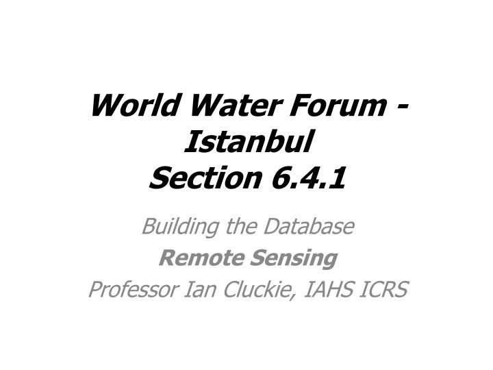
World Water Forum - Istanbul Section 6.4.1. Building the Database Remote Sensing Professor Ian Cluckie, IAHS ICRS. E. P. Q s. D S s. Q g. D S g. I g. A General Scenario. Water Resources Applications. Coupled Ocean-Atmosphere Models. Mesoscale Models.

E N D
World Water Forum - IstanbulSection 6.4.1 Building the Database Remote Sensing Professor Ian Cluckie, IAHS ICRS
E P Qs D Ss Qg D Sg Ig A General Scenario Water Resources Applications Coupled Ocean-Atmosphere Models Mesoscale Models Hydrologic/Routing Models SVATs Sorooshian, HEPEX, 2004
Source: Modified from Patenaude, Edinburgh Cost of Remotely Sensed Data? Nominal Ground Resolution FREE £50 Cost per Km2
£ Source: Modified from Patenaude, Edinburgh
Land Use Pattern • The catchment is composed of 70% grassland and 30% arable • More than 80% of the total catchment area is used for agriculture • Flood risk can be mitigated with better land use management
Integration of Remotely Sensed Data Sources with Ordnance Survey Map Data.
Classified using a Statistically Active Contour (Snake). ASAR Image of River Severn at Upton-upon-Severn ASAR – UAV’s
How Much Data for a Rainstorm? • A Single Raingauge – 2 MB • A Conventional Weather Radar – About 0.25 GB • A Sophisticated Dual-Polarisation Weather • Radar - About 3 GB • A Coupled Modelling System – About 10 GB