Download
1 / 23
230 likes | 487 Views
Dawes Arboretum Internship. Luanne Hendricks Columbus State Community College GIS 290 Spring, 2004. Presentation Outline. Arboretum Background/Overview GIS Overview/Requirements My Internship Observations/Learning. Arboretum Background.

E N D
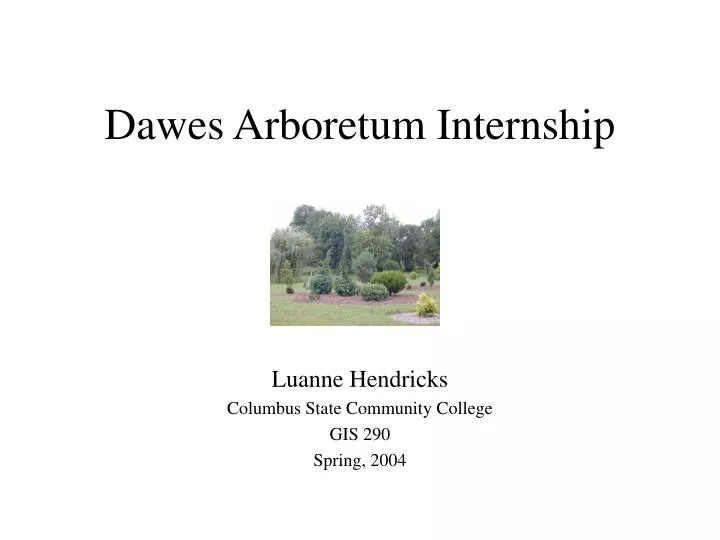
Dawes Arboretum Internship Luanne Hendricks Columbus State Community College GIS 290 Spring, 2004
Presentation Outline • Arboretum Background/Overview • GIS Overview/Requirements • My Internship • Observations/Learning
Arboretum Background • Non Profit Foundation established 1929 by Dawes Family • Mission • promote study and appreciation of trees & shrubs • foster scientific education in horticulture, natural history and Arboretum history • Free and open to the public Beman and Bertie Dawes ->
Arboretum Overview • Plant collections cover 1600+ acres near Newark, Ohio • Hiking Trails, Nature Center, Historic Structures, Bird Boxes • Additional surrounding property owned • 16,000+ labeled plants on grounds • about 1,000 new plants added to collection each year • about 500 plants removed from collection each year
Map of Arboretum • Collection areas • North & South End
Arboretum GIS Overview • Background/Requirements • Applications • Data • Processes • People Involved • Software/Hardware
Arboretum GIS History • Before GIS: • computerized non-spatial plant records in existence prior to GIS • grid system maps documented on paper in binders for plant location • 1997: • GIS needs assessment done by an OSU class under Duane Marble • 1 full-time GIS coordinator hired • 1998: data collection begun
Arboretum GIS Requirements • Goal - use GIS as planning tool • Goal - address spatial needs of all departments • horticulture, history, nature, administration, business, maintenance • features - plant collections, utility systems, bird boxes, trails, and historic structures • plant collections need sub-meter location accuracy • measurement attribute data + location data needed
Arboretum GIS Current Status • Original Data Collection being fine-tuned • Data Collection maintenance • Application Development and Analysis to come
Applications • Future • Ability of staff & visitors to generate their own maps • Plant collections, trails, etc. • Utilities • Analysis • detect patterns in poor plant growth and analyze reasons • And more…
Data • OrthoPhotos - 1998 • GPS data files • differentially corrected location data • Some location data obtained using surveyed control points • Features • Plant Attributes: Measurements, label-type, Accession Number, GridLocation • Other Features - trails, trail markers, birdboxes, grid corner pins
Data - GPS Limitations • Canopied Environment • Need line of sight to at least 4 satellites • Multipath - signal will bounce off nearby objects (trees) • Need differential correction for sub-meter accuracy • Reference stations - Fish Hatchery, Miami U. • Used post-processing
Processes • GPS Data Collection Fine Tuning • Field Map Generation in ArcView • Field Checking - ensure data agrees with reality • Re-GPS work • Correcting/updating location & attribute data • Ongoing Plant Addition & Removal Processes
People Involved • GIS Coordinator • GIS interns • Plant Records Specialist • Labeling Specialist • Horticulture & Maintenance Staff • Other departments - Nature, History • Director & Board of Trustees
Software • GIS Software • Current - ArcView 3.2 / ArcGIS Desktop 8.3 • Planned - ArcGIS Desktop 9.0 + ArcReader & ArcPublisher • Non-spatial Plant database - In House application built on FoxPro • ArborbaseConnect - available to all staff via network • GPS data processing software - Pathfinder 2.10
Hardware • PCs (2) - Windows XP • Plotter • GPS Equipment • Trimble ProXR • Laser Rangefinder, Range Pole, Shoulder Strap Configurations • LAN
Internship - Data Collection • Learning the Grounds • GPS • Setup/takedown, care of equipment • Positioning equipment in the field; awareness of PDOP • Rangepole - small plants, no canopy interference • Rangefinder - tall plants, near canopy • Shoulder Strap - polyline features - beds • Plant Measurement • Height, Width, Canopy, Caliper, Dbh
Internship - Software Use • Using ArcView 3.2 • making field maps • viewing Orthophoto for plant location • Pathfinder 2.10 • uploading GPS files from GPS data logger • editing files • generating an Almanac - SVs & PDOP • differential correction
Internship - Quality Control • Field Checking - maps vs. plants on grounds • existence or non-existence of plants • existence/correctness of labels • positional accuracy • Researching unknown plants • ArborbaseConnect, Binders, Planting Sheets, Removal Sheets
Internship - Quality Control (2) • Documenting file corrections • Verifying needed changes in non-spatial and spatial records • Make records on paper documents of each GPS file for each change • update the GPS file - change attributes or delete feature
Internship - Miscellaneous • Attended staff meeting • Tour of surrounding Arboretum property • Application development for Field Map Application
Observations/Learning • Quality Data is a huge investment • Cost and limitations of technology • Training • Ongoing data maintenance • Importance of appropriate accuracy requirements • Understanding tradeoffs - accuracy vs. cost • For example - a display garden such as Inniswood, with annual beds instead of individual specimens, might not need this level of accuracy for mapping plant collections.