Download
1 / 1

E N D
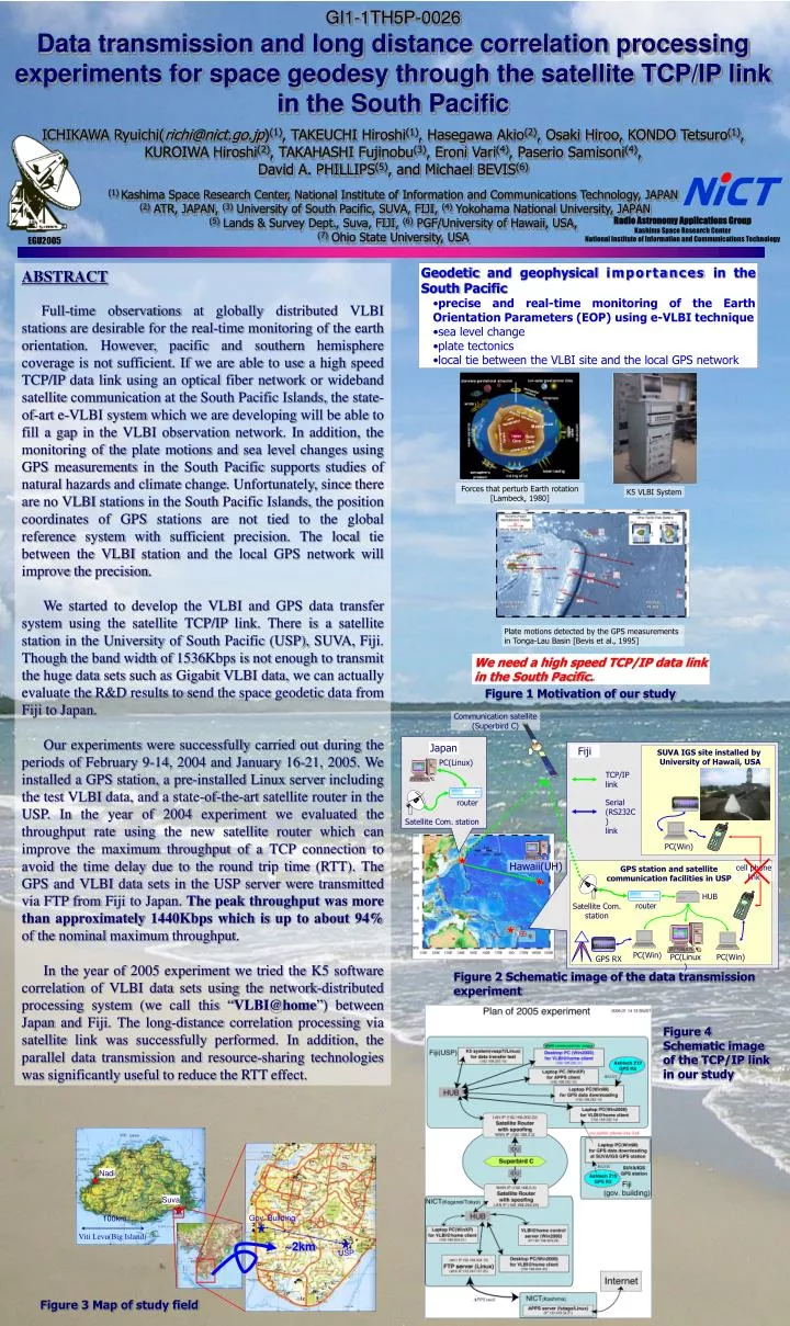
GI1-1TH5P-0026Data transmission and long distance correlation processing experiments for space geodesy through the satellite TCP/IP link in the South PacificICHIKAWA Ryuichi(richi@nict.go.jp)(1), TAKEUCHI Hiroshi(1), Hasegawa Akio(2), Osaki Hiroo, KONDO Tetsuro(1), KUROIWA Hiroshi(2), TAKAHASHI Fujinobu(3), Eroni Vari(4), Paserio Samisoni(4),David A. PHILLIPS(5), and Michael BEVIS(6)(1) Kashima Space Research Center, National Institute of Information and Communications Technology, JAPAN(2) ATR, JAPAN, (3) University of South Pacific, SUVA, FIJI, (4) Yokohama National University, JAPAN(5) Lands & Survey Dept., Suva, FIJI, (6) PGF/University of Hawaii, USA,(7) Ohio State University, USA ABSTRACT Full-time observations at globally distributed VLBI stations are desirable for the real-time monitoring of the earth orientation. However, pacific and southern hemisphere coverage is not sufficient. If we are able to use a high speed TCP/IP data link using an optical fiber network or wideband satellite communication at the South Pacific Islands, the state-of-art e-VLBI system which we are developing will be able to fill a gap in the VLBI observation network. In addition, the monitoring of the plate motions and sea level changes using GPS measurements in the South Pacific supports studies of natural hazards and climate change. Unfortunately, since there are no VLBI stations in the South Pacific Islands, the position coordinates of GPS stations are not tied to the global reference system with sufficient precision. The local tie between the VLBI station and the local GPS network will improve the precision. We started to develop the VLBI and GPS data transfer system using the satellite TCP/IP link. There is a satellite station in the University of South Pacific (USP), SUVA, Fiji. Though the band width of 1536Kbps is not enough to transmit the huge data sets such as Gigabit VLBI data, we can actually evaluate the R&D results to send the space geodetic data from Fiji to Japan. Our experiments were successfully carried out during the periods of February 9-14, 2004 and January 16-21, 2005. We installed a GPS station, a pre-installed Linux server including the test VLBI data, and a state-of-the-art satellite router in the USP. In the year of 2004 experiment we evaluated the throughput rate using the new satellite router which can improve the maximum throughput of a TCP connection to avoid the time delay due to the round trip time (RTT). The GPS and VLBI data sets in the USP server were transmitted via FTP from Fiji to Japan. The peak throughput was more than approximately 1440Kbps which is up to about 94% of the nominal maximum throughput. In the year of 2005 experiment we tried the K5 software correlation of VLBI data sets using the network-distributed processing system (we call this “VLBI@home”) between Japan and Fiji. The long-distance correlation processing via satellite link was successfully performed. In addition, the parallel data transmission and resource-sharing technologies was significantly useful to reduce the RTT effect. • Geodetic and geophysical importances in the South Pacific • precise and real-time monitoring of the Earth Orientation Parameters (EOP)using e-VLBI technique • sea level change • plate tectonics • local tie between the VLBI site and the local GPS network Forces that perturb Earth rotation [Lambeck, 1980] K5 VLBI System Plate motions detected by the GPS measurements in Tonga-Lau Basin [Bevis et al., 1995] We need a high speed TCP/IP data link in the South Pacific. Figure 1 Motivation of our study Communication satellite (Superbird C) Japan Fiji SUVA IGS site installed by University of Hawaii, USA PC(Linux) TCP/IP link router Serial (RS232C) link Satellite Com. station PC(Win) Hawaii(UH) cell phone link GPS station and satellite communication facilities in USP HUB router Satellite Com. station PC(Win) PC(Linux) PC(Win) GPS RX Figure 2 Schematic image of the data transmission experiment Figure 4 Schematic image of the TCP/IP link in our study Nadi Suva Gov. Building 100km Viti Levu(Big Island) ~2km USP Figure 3 Map of study field