Download
1 / 18
180 likes | 330 Views
The April 18 th 2009 Extreme Rain Event Presentation by Lance Wood. My house. Image Courtesy: Galveston Daily News. Friendswood, TX. Taylor Lake Village, TX. The April 18 th 2009 Extreme Rain Event. 19 Z. The April 18 th 2009 Extreme Rain Event. 24 Hour Rainfall.

E N D
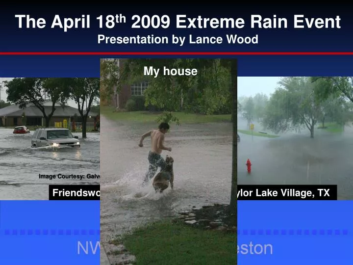
The April 18th 2009 Extreme Rain Event Presentation by Lance Wood My house Image Courtesy: Galveston Daily News Friendswood, TX Taylor Lake Village, TX
The April 18th 2009 Extreme Rain Event 24 Hour Rainfall
24 hr Rainfall Amounts 10 inches
The April 18th 2009 Extreme Rain Event • A couple quick facts about this unique April rain event : • Recorded the highest recorded local rainfall rates with the greatest 1 hour rainfall rate. • A tipping bucket gauge on Clear Creek (@Bay Area Blvd) reported a • 6.9 inchhourly rainfall rate • -This was a higher rate than during TS Allison! • When compared to somewhat similar heavy rain events, this event stands out with its impressive 1, 3, and 6 hourly rain fall rates.
18 April 2009 Synoptic Overview • Upper divergence apparent at 300 mb level with SE Texas between two diverging jet streaks. • 500 mb low moving over the southern plains with a shortwave trough moving across SE Texas. • Deep layer moisture in the lower levels noticed at the 850 and 700 mb levels (PWATS : ~1.70” upper 25th %). • Pre-existing surface trough over the Houston area with a dry line and cold front approaching from the west.
18 April 2009 Synoptic Overviewcourtesy of http://www.spc.noaa.gov/obswx/maps/ 12 UTC 18 April 2009 00 UTC 19 April 2009 300 mb
18 April 2009 Synoptic Overviewcourtesy of http://www.spc.noaa.gov/obswx/maps/ 12 UTC 18 April 2009 00 UTC 19 April 2009 500 mb
18 April 2009 Synoptic Overviewcourtesy of http://www.spc.noaa.gov/obswx/maps/ 12 UTC 18 April 2009 00 UTC 19 April 2009 850 mb
18 April 2009 Synoptic Overviewcourtesy of http://www.hpc.ncep.noaa.gov/html/sfc_archive.shtml 18 UTC 18 Apr 2009 21 UTC 18 Apr 2009 00 UTC 19 Apr 2009 Surface plot/fronts/pressure
The April 18th 2009 Extreme Rain Event 0Z 568 dam thickness 1.15” PWAT(70% saturation)Within a climatologically very saturated air mass (~ 1.70”) 70% Saturation Thickness (Funk 1991)
Meso-Low Development L 1829 Z 1902 Z L 1930 Z 1956 Z L L
The April 18th 2009 Extreme Rain Event West Galveston Bay Wind (6 minute data) Max wind = 52 kt wind gust Nearly an hour of sustained gale force winds
The April 18th 2009 Extreme Rain Event West Galveston Bay Pressure (6 minute data) Min pressure = 1004.7 mb 11 mb drop in 4 hours
Rain Gauge Limitations Tipping bucket: Can not keep pace with intense rainfall Loss of rain during bucket tips (1/2 sec) Can not be calibrated for 0.01 precision at high rainfall rates. • Expect a 20% loss during convective rainfall: • A 1.4” error for a near 7” rainfall total • *Greater error likely in high winds
Short term Rainfall Rates ( Extremes ) 1 minute : 0.71” (Willow Spring @ Fairmont Parkway)* 15 minute : 2.44” (Clear Creek @ I-45) 30 minute : 4.22” (Clear Creek @ Bay Area Blvd) *{U.S. record = 1.23” Unionville, MD}
Thank you! Questions? Acknowledgments Mr. Patrick Blood (NWS) Mr. Jeffery Lindner (Harris County Flood Control District) Mr. Scott Overpeck (NWS) Mr. Paul Lewis (NWS) Mr. Chris McKinney (NWS)