Download
1 / 22
310 likes | 507 Views
Remote Sensing. 2009-10 Science Olympiad Midwest Coaching Academy Bill Keiper. Background. Replaced Div C Road Scholar in 2002 (originally titled “From A Distance”) 2002 to 2006: Earth Cultural Impact on Earth Natural Impact on Human Culture Topic Rotation (Coastal Features, Glaciers)

E N D
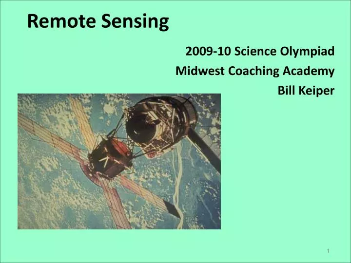
Remote Sensing 2009-10 Science Olympiad Midwest Coaching Academy Bill Keiper
Background • Replaced Div C Road Scholar in 2002 (originally titled “From A Distance”) • 2002 to 2006: Earth • Cultural Impact on Earth • Natural Impact on Human Culture • Topic Rotation (Coastal Features, Glaciers) • 2007-08: Mars • 2009: Earth - Global Warming • 2010: Human Impact on Forest Biomes Check old files. Some may apply to 2010 Good % should have use in 2010
The Rules – Highlights / Changes • Impact on Forest Biomes • Resources • Only 5 sheets of 8.5 x 11 inch paper (same as 2009) • Any kind of non-graphing calculator • Discarded the three section format of the test – open to interpretation of the event director • Expectations • Rulers, other instruments will be provided if needed • Often a station-based event in the past, likely to be a sedentary, packet test
The Topics – Areas of StudyLinks with other Events • Science • Meteorology / Climatology • Ecology • Electromagnetic Spectrum • Physics • Astronomy (Orbits, planetary cycles) • Analysis/Theory/Interpretation • Mathematics, Statistics • Measurement, Map-Skills • Interpretation / Explanation • Technology • Equipment • Sensors • Satellites Dynamic Planet Meteorology Ecology Physics Astronomy Road Scholar Experimental Design (writer) Technology (robotics, Mission)
Forest Biomes Global Warming Economic Development Population Growth • Subjects – Examples: • Change in size/area • Deforestation • Change in configuration • Segmentation • Environmental change • Temperature • Weather • Water cycle • Introduction of new species • …. Change in Biodiversity, Flora & Fauna
Examples – Deforestation • Potential test areas: • Measure area, calculate rate of change over time • Assess land use based on patterns • Analyze type of sensing technology employed
Examples • Land use • Time Sequence • Type of Forest / Location • Seasonal variation • Radiative balance
Examples - Temperature Change • Positive or negative • Measure Area, Assess 2nd/3rd order effects • Technology
Remote Sensing Technology • Satellites / Platforms • Orbits, Missions • Parts of a satellite • Instruments • Spectrum range, capabilities • Electromagnetic Spectrum • Capabilities to study Biome status/change • Technology (how it works) • Techniques • Translating sensing data into information
Examples - Satellites • Mission/purpose • History (launch, operating status, significant results) • Nation/Agency/ Company • Orbit • …
Examples - Technique • Converting digital data into information • Options to suit the subject and purpose • Element of ‘art’ introduced with science
Statistics - Results • From (6) 2009 Ohio Invitationals/Regionals/State (~ 75 teams) % of Questions asked / answered correctly Interpretation Precision More time consuming
Practice • Sample Tests • One included in your packet • Flashcards • Games • Live (knowledge and speed) • Jeopardy • Bingo • Homework • Scavenger Hunt Let the kids develop!
Competition References – 5 Pages • Suggestions: • Global Warming • Statistics • Forest Effects • Size • Configuration (e.g., fragmenting) • Biome Impacts (diversity) • Electromagnetic Spectrum • Wavelengths, best applications, sample images • Satellites and instruments • Glossary of key terms (alphabetical, by concept, ?) • Mark a scale on an edge (extra ruler); translucent grid for area measurement? • Most effective if the kids develop the references!
Earth Science Satellites & their Roles • ACRIMSAT: Studies sun’s energy output to determine its role in global change (1999) • AIRS: Measures air temp, humidity, clouds, and surface temps • AQUARIUS: will measure global maps of ocean salt concentration (heat transfer and storage in ocean) (2010) • ASTER: Creates high-res global, regional, and local images of Earth • CLOUDSAT: Radar system- monitors atmosphere and weather, including rain, snowfall, and cloud moisture content (2006) • GRACE: measures gravitational field on Earth (2002) • MLS: improve ozone understanding—and how chlorine (CFC’s) deplete it • OCO: using spectroscopy, CO2 measured and rate of change into atmosphere (2008) • OSTM: monitors height of ocean water to better understand weather patterns and mean sea level rise (2008) • QUIKSCAT: measures wind speeds using microwaves (1997) • TEM: infrared sensor designed to study troposphere and ozone
Resources • Official Listings on the National Science Olympiad website • Discovery.com Remote Sensing Lesson • Geogratis / NASA Remote Sensing Tutorial • Obtaining Radar Images EROS Image Gallery (NASA JPL) • Remote Sensing Glossary (Columbia Univ.) • Remote sensing of the Cryosphere (NJ Science Olympiad 2006 / Montclair State Univ) • Satellite Imagery for the Classroom (Gulf of Maine Aquarium) • The Online Guides - Remote Sensing (Univ Of Illinois) • TRIFC Archives (NASA JPL Imaging RADAR) • Up Close From Afar: Using Remote Sensing to Teach the American Landscape [book] (National Council For Geographic Education) • Using Satellite Imagery to Study the Polar Regions (NASA JPL Satellite RADAR) • USGS Earthshots: Satellite Images of Environmental Change moved to: earthshots.usgs.gov (examples of specific conditions) • USGS Remote Sensing Website for Students (aimed at grades 4-8) • USGS TerraWeb USGS Flagstaff Field Center • Virtually Hawaii (Dr. Mouginis-Mark's public site; small tutorial with examples) • Wright Center for Science Education at Tufts University (no new remote material yet; a link to the Michigan / National Event Director's site) I recommend
Resources (continued) • Remote Sensing / Technology • Government • rst.gsfc.nasa.gov NASA's superb Remote tutorial (*Section 16: global warming) • ccrs.nrcan.gc.ca/resource/index_e.php#tutor Canada Centre for Remote Sensing's tutorial • Climate Change / Human Impact • Government • www.epa.gov/climatechange • www.ncdc.noaa.gov/oa/climate/globalwarming.html • www.esa.int/esaCP/Protecting.html • Non-profit organizations / Conservationists • www.ucsusa.org/global_warming Union of Concerned Scientists • www.nrdc.org/globalWarming National Resources Defense Council • www.sierraclub.org/energy Sierra Club Many more… Watch for .gov, .edu, .org and recent material
Careers • Government • NASA • Agriculture, EPA, Interior (BLM, USGS) • Defense, Homeland Security • Industry • Resource Exploration / Management • Security • Information Technology • Academics • Sources to explore: www.asprs.org/career American Society for Photogrammetry and Remote Sensing www.ucgis.org University Consortium for Geographic Science www.gisjobs.com GISJobs.com
Top GIS Universities * and any other Ivy League school • Cornell* • California / Berkeley, Davis, Santa Barbara • MIT • Cal-Tech • Arizona State • Wisconsin (2011 Nationals) • Penn State (Forestry/Agriculture) • Illinois (2010 Nationals) • Indiana • Texas / Austin and many others (though often with special focus)
On the Clinic Website for Remote Sensing • Practice Tests (2009 Piqua/Cinc/Marietta Regionals, Ohio State) • GIS tutorials (3) • Remote Sensing tutorial (CSA) • Spectrum charts • Remote Sensing glossary • Sample Papers (biodiversity, carbon cycle, Ohio EPA study) • NASA fact sheets (TERRA, AQUA, GLORY) • …and this set of slides