Download
1 / 7
70 likes | 305 Views
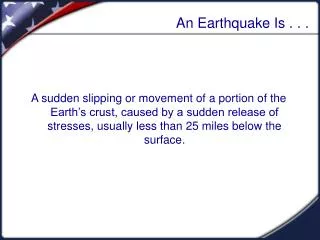
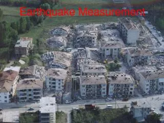
Earthquake Measurement. Earthquake Measurement. Locating Earthquakes. Scientists ( Seismologists) use seismographs that are located near the surface of the Earth to record the seismic waves. Epicenter: Is the point on the Earth’s surface directly above an earthquakes starting point.

E N D
Earthquake Measurement Earthquake Measurement
Locating Earthquakes • Scientists (Seismologists) use seismographs that are located near the surface of the Earth to record the seismic waves. • Epicenter:Is the point on the Earth’s surface directly above an earthquakes starting point.
Focus: is the point directly inside the Earth where the earthquake begins.
Seismologists use the difference of the arrival times between the P-wave and S-wave to locate the epicenter.
Seismologists use the readings from three separate seismograph stations. • 1 seismic station: Epicenter is anywhere on the distance circle. • 2 seismic stations: Epicenter is at one of two points. • 3 seismic stations: Epicenter is at one unique point.
Earthquakes In the U.S.A • U.S.A. earthquakes