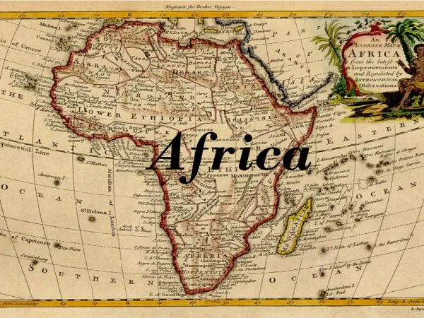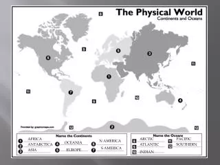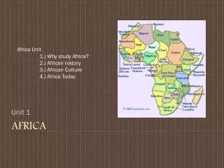
AFRICA -
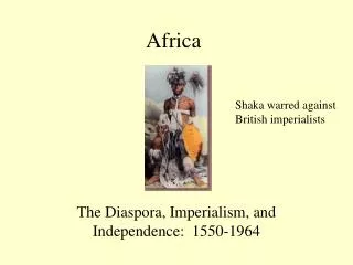
AFRICA - . DIVERSE CONTINENT . While watching the clip, list 4 landforms you see in the video. . OBJECTIVES: . understand key physical features and human activity that affect river systems by identifying how the Nile changes from source to mouth.

AFRICA -
E N D
Presentation Transcript
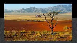
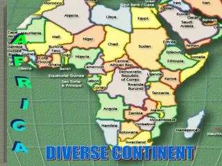
AFRICA - DIVERSE CONTINENT
While watching the clip, list 4 landforms you see in the video.
OBJECTIVES: • understand key physical features and human activity that affect river systems by identifying how the Nile changes from source to mouth. • examine how hydroelectric dams impact river systems around the world. • SS-HS-4.2.2Students will explain how physical (e.g., climate, mountains, rivers) and human characteristics (e.g., interstate highways, urban centers, workforce) of regions create advantages and disadvantages for human activities in a specific place
PREVIEW • What interesting details do you see? • What do you think this physical feature is? • Complete the Preview
It is not surprising that you have so many questions about the Nile River. At 4,160 miles in length, it is generally considered to be the longest river in the world. In the upcoming activity, you will follow the path of the Nile as it flows from its sources in the mountains and highlands of Africa to its mouth on the Mediterranean Sea. You will also learn about how the river changes along the way.
Read Section 1, Introduction, in the Student Text. • Identify at least four details in the mosaic that relate to ideas in the text you just read. • Be prepared to share your answers with the class.
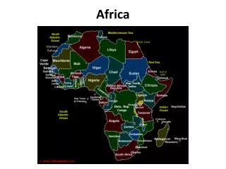
Examine the Graphic Organizer. • What interesting details do you see? • What are the sources of the NILE? • At about what parallel is each source located? • Where is the river’s mouth? • Through how many countries does the Nile flow?
What physical changes do you expect to happen to the Nile as it flows from its sources to its mouth? • What other types of changes might you expect to see as the Nile flows from its sources to its mouth?
How do rivers change as they flow across Earth’s surface? • This map shows the course of the Nile River from its sources to the sea. The Nile flows through several countries and crosses several parallels of latitude, including the equator and the Tropic of Cancer. During its long journey, the Nile changes in many ways. Keep this map in mind as you try to answer the Essential Question.
Mark and label the feature on your map. Step 2: Use the latitude and longitude coordinates on the placard to locate the feature on your map in Reading Notes for Section 19.
Step 3: Read the 19.3 of your text to find out more about the feature. Step 4: In an appropriate place on your map, draw the feature. Write a caption that describes what the feature is. Your caption should also explain how the Nile River changes at that location.
Mark and label the feature on your map. Step 2: Use the latitude and longitude coordinates on the placard to locate the feature on your map in Reading Notes for Section 19.
Step 3: Read the 19.4 of your text to find out more about the feature. Step 4: In an appropriate place on your map, draw the feature. Write a caption that describes what the feature is. Your caption should also explain how the Nile River changes at that location.
Mark and label the feature on your map. Step 2: Use the latitude and longitude coordinates on the placard to locate the feature on your map in Reading Notes for Section 19.
Step 3: Read the 19.5of your text to find out more about the feature. Step 4: In an appropriate place on your map, draw the feature. Write a caption that describes what the feature is. Your caption should also explain how the Nile River changes at that location.
Mark and label the feature on your map. Step 2: Use the latitude and longitude coordinates on the placard to locate the feature on your map in Reading Notes for Section 19.
Step 3: Read the 19.6 of your text to find out more about the feature. Step 4: In an appropriate place on your map, draw the feature. Write a caption that describes what the feature is. Your caption should also explain how the Nile River changes at that location.
Longest River in the world – Nile • Two main branches of the Nile – Blue and White which meet in Khartoum, Sudan • Blue Nile – source is Lake Tana • White Nile -(begins in Lake Victoria) • Flows through deserts and arid landscape
Gift of Water, Transportation and Power • Drinking, cooking, washing, farming, transportation, and energy • Built Aswan High Dam – Hydroelectric power and control flooding
Sahara – Largest Desert in the world 3.5 million sq miles (United States) 15 African Countries Harshest, driest area in the world Less than 5 inches rain yearly What makes some of the Sahara liveable? Oases
Sahel Lies on the southern border of the Sahara – drought and a little rain Not suitable for farming Pastoral nomads – are herders who wander in search of water and grazing land DESERTIFICATION – process in which an area becomes increasingly dry
20.3 The Desert Environment • What are the physical characteristics of the desert?The Sahara has three main landforms:ergs – (sand dunes) regs-gravel covered plains and hammadas – high rock covered flatlands • Only two rivers flow through the Sahara, the Nile and the Niger. • Desert temperatures vary greatly between day(above 100) and night (below freezing) . Rain is unpredictable.How do you think people have adapted to living in the desert?
20.4 Adaptations to Life in the Desert How have people adapted to living in the desert? Among those who live in the Sahara are pastoral nomads such as the Tuareg.The Tuareg wear long, loose clothing to protect them from the sun. Tuareg traders use camels for transportation. Drilling machines have reached underground water to create new oases.