Download
1 / 35
420 likes | 582 Views
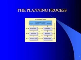
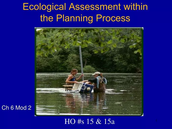
Ecological Assessment within the Planning Process. HO #s 15 & 15a. Ch 6 Mod 2. Module 6-2 Class Objectives. Where in planning process do ecological assessments take place? Quantifying ecological outputs Steps of assessment (time and $). Corps’ Planning Steps. Specify Problems

E N D
Ecological Assessment within the Planning Process HO #s 15 & 15a Ch 6 Mod 2
Module 6-2 Class Objectives • Where in planning process do ecological assessments take place? • Quantifying ecological outputs • Steps of assessment (time and $)
Corps’ Planning Steps Specify Problems and Opportunities Inventory and Forecast Conditions Formulate Alternative Plans Evaluate Effects of Alternative Plans Compare Alternative Plans Select Recommended Plan
Quantifying Ecological Output Biological Accounting System • Currency = Habitat Units (HU’s) • Habitat Units = Quality X Quantity
How is Quality Derived? Quality is measured as a Habitat Suitability Index or HSI which is derived from the measurement of limiting environmental factors called Life Requisites for a species or community.
Ecological Quality Quality Index = Study Area Ecological Conditions Optimum Ecological Conditions Score = 0.0 to 1.0
How is Quantity Derived? Quantity =the number of acres of a cover type.
HUs vs. AAHUs • HUs = gains/losses for a single Target Year • AAHUs = gains/losses averaged over the life of the project • AAHU = Sum HUs for all years # of years
Ecological Assessment Checklist 1. Build An Interagency Team 2. Classify, delineate & inventory habitats 3. Map the Cover/habitat Types 4. Determine Model Focus & Select, Modify or Create Model(s) 5. Conduct Field Sampling 6. Calculate Baseline Conditions 7. Develop Goals & Objectives 8. Determine W/O Project Conditions 9. Develop With-Project Conditions 10. Report the Results
Step 2 – Classify & Delineate Specify Problems and Opportunities Inventory and Forecast Conditions • Classification: systematic arrangement in groups or categories of habitat types. • Delineation: process of marking a line on the ground/map, delineating the boundary between the habitat types. Handout #16
Inventory and Forecast Conditions Classification • Why do It? • To separate “like” from “unlike” things. • Increases accuracy in classification while decreasing sampling effort. • Sets the boundaries of a study area or an area we hope to influence. • Aids in the development of restoration endpoints by developing identifiable and compatible classes within the classification. • Display or communicates complex relationships more effectively for planning, restoration, and management.
Classification of: • Life Forms • Taxonomic relationship, scientific name, e.g., plant keys • Species groups such as southeastern pine - hardwood, coldwater fishery • Land Types, Land Use • Land use such as urban, agriculture, grassland, ephemeral stream • Land Morphology • Environments such as bay, reef, prairie; topography • Land Capability • NRCS classification, habitat “quality”
Inventory and Forecast Conditions Classification Systems • Cover Typing • NWI • Cowardin System (USFWS 1979) • Ecoregions • Nature Conservancy National Vegetation Classification System (1994) • HGM (1983) Handout #16
Inventory and Forecast Conditions Classification of Wetlands & Deepwater Habitats of the United States (USFWS)(Based on Hydrology & Vegetation) Systems: share similar hydrologic, geomorphologic, chemical, or biological factors • Marine:open ocean overlying continental shelf • Estuarine: deepwater tidal habitats and adjacent tidal wetlands usually semi-enclosed by land. • Riverine: contain channel • Lacustrine: lakes (depression, lacks vegetation > 30% or area, area > 8 ha, deepest part > 2m at low water. • Palustrine:nontidal, less than 8 ha, deepest part < 2 m, salinity < 0.5 ppt. http://www.fws.gov/nwi/Pubs_Reports/Class_Manual/class_titlepg.htm
Inventory and Forecast Conditions USFWS Classification: basis for National Wetland Inventory (NWI)
Inventory and Forecast Conditions Hydrogeomorphic Classification of Wetlands • Hydrologic and geomorphic factors fundamentally control how wetlands function • The Hydrogeomorphic Classification of Wetlands is based on three factors • Geomorphic setting • Water source • Hydrodynamics R. Daniel Smith CEWES-ER-W (4/95)
Inventory and Forecast Conditions HGM Classification (A function based classification) • Geomorphic setting: topographic location of wetland in the surrounding landscape: - depressional - riverine - fringe - slope - flats - peatlands • Water source: precipitation, surface flow, and/or groundwater • Hydrodynamics: direction & strength of water movement (e.g., vertical, unidirectional v.s. bidirectional) Handout # 16
Inventory and Forecast Conditions HGM Classification: Arkansas ftp://ftp-fc.sc.egov.usda.gov/WLI/HGM.pdf
Inventory and Forecast Conditions The Nature Conservancy’s Classification System http://www.natureserve.org/publications/icec/index.html
Inventory and Forecast Conditions Classification • Commonly Asked Spatial Questions • Acreages • Total Edge • Edge Density • Total Core Area • Number of Core Areas • Core Area Distributions • Patch Distribution and Isolation • Diversity & Evenness Indices • Landscape Shape Index • Patch Size and Density • Contagion • Connectivity • Proximity Index • Adjacent Land Use • Interspersion and Juxtaposition • Types of Human Disturbance • Landscape Division Index 21
Inventory and Forecast Conditions Inventory and Forecast Conditions Delineation • Process of marking the boundary between the habitats/cover types. • Major effort in regulation of wetlands. Corps 1987 Delineation Manualhttp://www.usace.army.mil/cw/cecwo/reg/reg_supp.htm 22
Example of stream habitat delineation using substrate type and water depth 23
Ecological Assessment Checklist Build An Interagency Team Classify, delineate & inventory habitats Map the Cover/habitat Types Determine Model Focus & Select, Modify or Create Model(s) Conduct Field Sampling Calculate Baseline Conditions 7. Develop Goals & Objectives Determine W/O Project Conditions Develop With-Project Conditions Report the Results 24
What models are available? How do I choose models? EMRIS, USGS databases, EcoPCX, Univ., other state & federal agencies, Past use, etc. Select Models that best match study objectives, significant resources, and available data Inventory and Forecast Conditions Evaluate Alternatives Step 4 : Method/Model Selection PROBLEMS SOLUTIONS
Ecological Assessment Checklist Build An Interagency Team Classify, delineate & inventory habitats Map the Cover/habitat Types Determine Model Focus & Select, Modify or Create Model(s) Conduct Field Sampling Calculate Baseline Conditions 7. Revisit Goals & Objectives Determine W/O Project Conditions Develop With-Project Conditions Report the Results 26
Step 7: Goals & Objectives What’s a Goal? Goal = vision = desired end result = wish Often mistaken as an objective Usually unobtainable What’s an Objective? Objective = specific actions, activities, tasks that will allow the goal to be reached Objectives are written with action words They are clear, complete, doable, and measurable aka Success Criteria, Performance Measures, Performance Targets Specify Problems Opportunities Inventory and Forecast Conditions
Specify Problems and Opportunities Inventory and Forecast Conditions Example Objective Statement GOAL: Restore riparian forest OBJECTIVE: who The Clear Creek Restoration Project what will restore 800 acres of riparian forest to an HSI = 0.85 when over the next 50 years where across the Harris, Brazoria and Galveston Counties on the Clear Creek why to restore historic conditions to the system (note shifting baseline)
Compare Alternative Plans Inventory and Forecast Conditions Steps 8 & 9: Forecasting Future WOP & WP Conditions Evaluate Alternatives Evallternatives
Ecological Assessment Checklist Build An Interagency Team Classify, delineate & inventory habitats Map the Cover/habitat Types Determine Model Focus & Select, Modify or Create Model(s) Conduct Field Sampling Calculate Baseline Conditions 7. Revisit Goals & Objectives Determine W/O Project Conditions Develop With-Project Conditions Report the Results 30
Select Recommended Plan Step 10: Documentation • Document throughout the study • minutes, notes, every detail • Go into the study anticipating Litigation • Capture assumptions 31
Take Away Points • Ecosystem evaluations follow the same 6 step planning process • Quality x Quantity • Quality 0 to 1 scale • HUs calculated for each Target Year for each alternative • Annualized benefit units used for comparison (AAHU/ AAFCU)
“You got to be very careful if you don’t know where you’re going, because you might not get there.” Yogi Berra 35