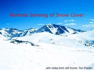
Download
1 / 11
110 likes | 283 Views
NOAA-CREST Field Experiment: Remote Sensing of Snow Properties using Microwave Radiometry. Tarendra Lakhankar, Jonathan Muñoz, Peter Romanov , Reza Khanbilvardi NOAA-Cooperative Remote Sensing Science and Technology (CREST) Center, The City University of New york.

E N D
NOAA-CREST Field Experiment: Remote Sensing of Snow Properties using Microwave Radiometry Tarendra Lakhankar, Jonathan Muñoz, Peter Romanov, Reza Khanbilvardi NOAA-Cooperative Remote Sensing Science and Technology (CREST) Center, The City University of New york
Microwave Radiometer for Snow Research High frequency Radiometers • 37 GHz and 89 GHz radiometer • Polarization : Dual (H and V) • Incident angle: 55 Degree
Instrumentations at Site • Snow depth Temperature ProfilerTotal 16 Thermocouples are used • 2 thermocouples below surface • 1 thermocouples at Surface level • 6 thermocouples at 2 inches interval • 4 thermocouples at 3 inches interval • 3 thermocouples at 4 inches interval
Toward Developing Merged of Snowpack Product for Hydrological Model Satellite DataAMSR-E & SSMI/S NCDC and DEP Stations (Met. Observations) Brightness Temperature Krigging (Gridded Maps) SNTHERMModel HUT Snow Model (or Improved CRTM) Snow Grain size Snow Density Gridded Snowpack(3 Hourly) Gridded Snowpack(Daily, Latency issue) High Resolution MODIS data Topography (DEM) Kalman Filter (Open) Downscaling Approach Snowpack (High Resolution) Validation using Snow depth data SWAT (Land Surface Model) River Discharge NCEP Prediction (Meteorological data) Flood forecasting
Evaluation and Application of SNTHERM Model for Remote Sensing based Snow Model Snow Depth Snow Depth CREST-SAFE Snowpack Data Grain Size Grain Size Snow Density Snow Density Temp Profile Temp Profile Satellite DataAMSR-E & SSMI/S Microwave Snow Emission Models ComparisonValidation Improvement of SNTHERM CRTM-SnowModel Brightness Temperature CREST-SAFE Radiometer data HUT Model Analysis, Validation & Improvement CREST-SAFE Metrological Data SNTHERMModel Meteorological Observations
Observed snow depth and snow temperature profiles SNTHERM modeled snow depth and snow temperature profiles