Download
1 / 2
20 likes | 108 Views
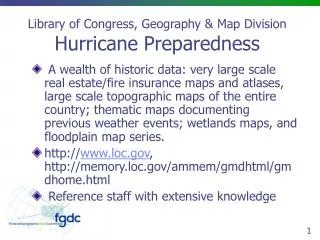
Access a wealth of historic data for hurricane preparedness, including real estate maps, topographic maps, weather event documentation, wetlands maps, and floodplain series from the Library of Congress Geography & Map Division. Explore the valuable resources available and benefit from the reference staff's extensive knowledge. Stay informed with recent activities and agency efforts during hurricanes. Visit http://www.loc.gov for more information.

E N D
Library of Congress, Geography & Map DivisionHurricane Preparedness • A wealth of historic data: very large scale real estate/fire insurance maps and atlases, large scale topographic maps of the entire country; thematic maps documenting previous weather events; wetlands maps, and floodplain map series. • http://www.loc.gov, http://memory.loc.gov/ammem/gmdhtml/gmdhome.html • Reference staff with extensive knowledge
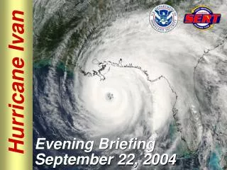
Recent Activities/Agency Efforts • During Hurricane Ivan, G&M mounted the NWS hurricane tracking charts on our Places in the News website. • Following and during most hurricanes G&M is usually contacted by Federal agencies information for historic maps - all paper based.