Download
1 / 18
180 likes | 295 Views
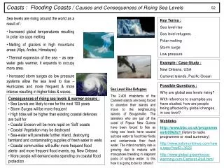
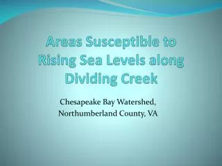
Areas Susceptible to Rising Sea Levels along Dividing Creek. Chesapeake Bay Watershed, Northumberland County, VA. Global warming and climate change are major concerns for coastal communities, and especially for the Chesapeake Bay region.

E N D
Areas Susceptible to Rising Sea Levels along Dividing Creek Chesapeake Bay Watershed, Northumberland County, VA
Global warming and climate change are major concerns for coastal communities, and especially for the Chesapeake Bay region • Many homeowners that live on the waterfront are concerned how the higher sea levels will affect their property and their homes
Susceptible Areas • Areas that have low elevation • Soils that do not absorb water • Little or no vegetation cover
Information Gathering • Soils- USDA/NRCS http://soildatamart.nrcs.usda.gov/Survey.aspx?County=VA133 • Bathymetry- USGSDEMLand http://estuarinebathymetry.noaa.gov/finddata.html • Elevation- USGS NED http://seamless.usgs.gov/website/seamless/viewer.htm • Land Cover & Ortho Imagery USDA http://datagateway.nrcs.usda.gov/
Pre-Analysis • In ArcCatalog, created Geodatabase • Imported Files into Geodatabase and then projected/ reprojected and used transformation to project using NAD 1983 StatePlane Virginia South FIPS 4502 • Used Census Blocks that touched the boundary of Dividing Creek to create new layer that I used to clip • Because of the size of some of the data, clipped the data in ArcCatalog • Added projected and clipped data into new project
Elevation Analysis • Using the NED for land elevation and the DEM for bathymetry, I used the mosaic tool to combine the two rasters • Research current High Tides and projected rise in sea level • High Tides are around 1.25 feet • Projected rise in sea level is 2 feet by the end of the century • Reclassify Elevation Raster to isolate elevations between 0-3.25 feet
Soil Analysis • Which soils absorb water better than others • Sandy Loam absorbs less than Silty Loam • Convert vector shapefile into raster • Reclassify Raster
Land Cover • Determine that land that has little or no vegetation will retain less water than areas that have more vegetation • Reclassify Land Cover Raster
Buffer • Created Buffer of 300 feet from the Shoreline • Created Raster from vector shoreline • Reclassified Raster
Weighted Overlay • Elevation is most critical in what areas are susceptible to higher sea levels- Weighted 60% • Soils and Vegetation were given equal weights- 15% • Buffer given remaining 10%
Other Factors- • Areas of the Chesapeake Bay are actually subsiding due to the settling of glacial sediments • Compare historic elevation data to current elevation data • Find out what the water table is- saturation levels of soil
Biggest problem • Plenty of GIS data at Federal sites- USDA, USGS, NOAA, etc. Not enough data at the local level. • No parcel information, etc. at the county level. • Northumberland County, VA does not have GIS department for public access to GIS data