Download
1 / 15
160 likes | 374 Views
North America. Physical Vocabulary. Vocabulary. Mesa : flat-topped natural elevations Continental Divide : a line that separates rivers that flow toward opposite ends of a continent. Headwaters : water sources of rivers.

E N D
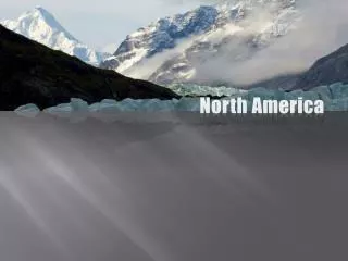
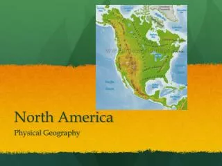
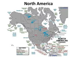
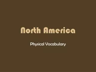
North America Physical Vocabulary
Vocabulary • Mesa: flat-topped natural elevations • Continental Divide: a line that separates rivers that flow toward opposite ends of a continent. • Headwaters: water sources of rivers. • Tributary: brooks, rivers, and streams that feed their waters into one river.
Vocabulary • Blizzard: snowstorms with high winds. • (in excess of 34 mph) • Tornado: swirling column of air with winds that reach 300 mph. • Hurricane: ocean storms hundreds of miles wide with winds of 75 mph or more. • Typhoon: hurricanes in the Pacific Ocean. • Chinook: warm winds that blow down the slopes of the Rockies in winter and spring.
Vocabulary • Timberline: the elevation above which trees cannot grow. • Appalachian Mountains: North America’s oldest mountain range, extending 1,500 miles from Quebec to Alabama. • Pacific Ranges: mountains ranges along the west coast – Alaska, Coast, Cascade, and Sierra Nevada ranges. • Rocky Mountains: massive, craggy mountains that stretch 3,000 miles from Alaska to New Mexico.
Vocabulary • Great Basin: a broad, low bowl including the hottest and lowest place in the U.S. (Death Valley). • Great Plains: a broad, flat plain extending over 400 miles from the Rockies through the central parts of Canada and the U.S. • Canadian Shield: a huge area of ancient rock, cover the Eastern half of Canada.
Resources http://www.geog.ucsb.edu/~joel/g110_w06/lecture_notes/regional_circulations/fig_10_31.jpg http://www.stanford.edu/~jrdx/PICS/hurricane_linda.jpg http://www.yourdictionary.com/images/ahd/jpg/A4contdv.jpg http://images.greenbuilder.com/rioweb.org/images/tourimages/headwaters.jpeg http://hex.oucs.ox.ac.uk/~rejs/holidays/rockies2002/continental-divide.jpg http://nhd.usgs.gov/chapter1/image021.gif http://www.jimloy.com/geology/river.gif http://www.mrjumbo.com/contents/new_york/blizzard/blizpix/blizzard/23rd.jpg http://sealevel.jpl.nasa.gov/science/images/hurricane.jpg
Resources http://vulcan.wr.usgs.gov/Imgs/Jpg/Hood/Images/Hood85_mount_hood_from_timberline_ca1985_med.jpg http://www.nucleartourist.com/images/shield1.jpg http://csern.laurentian.ca/images/logo_shield-canada-only-notxt.jpg http://www.lib.ndsu.nodak.edu/govdocs/text/greatplains/fig03.jpg http://www.fws.gov/stillwater/Virttour/graphics/Great%20Basin.JPG