Download
1 / 25
250 likes | 365 Views
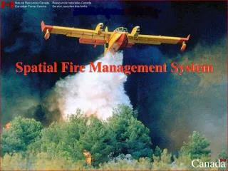
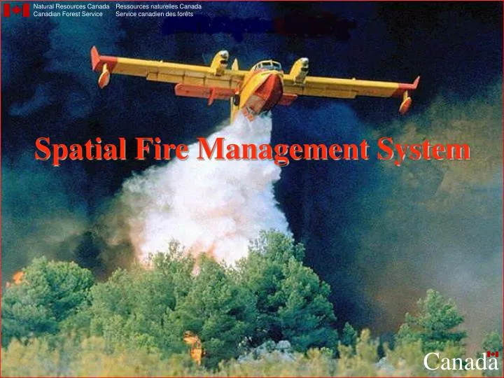
Natural Resources Canada Canadian Forest Service. Ressources naturelles Canada Service canadien des forêts. Spatial Fire Management System. Canada. Presentation Outline. sFMS: What is it? What is it (good) for? - Purpose - Existing implementations How does it work? - Requirements

E N D
Natural Resources Canada Canadian Forest Service Ressources naturelles Canada Service canadien des forêts Spatial Fire Management System Canada
Presentation Outline • sFMS: What is it? • What is it (good) for? - Purpose - Existing implementations • How does it work? - Requirements - Database access - Interpolation - Grid calculations - Utilities - Customization • Demonstration • Future development
Fire management information system GIS platform Fire science models (CFFDRS) Daily operations Interdependent ArcView extensions sFMS: What is it?
Fire Weather Index (FWI) Fire Behaviour Prediction (FBP) Wildfire Ignition Probability Prediction (WIPP) Optimal Resource Allocation and Prepositioning (ORAP) Modules
Purpose • Protection of life, property, values • Spatial information • Fire danger monitoring • Fire behavior prediction • Decision support • Resource allocation • Policy setting & review
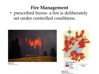
Scheduled batch processing • Web dissemination
Requirements • Hardware • Software • - Windows 95/98/NT • - ArcView 3.1, Spatial Analyst 1.1 • Weather data • - Weather station locations • - Daily noon observations • Spatial data • - Elevation • - Fuels
Fire Weather Observations Temperature Relative humidity Wind Speed Rain Wind Speed Temperature Relative humidity Rain Temperature Rain Fine Fuel Moisture Code (FFMC) Duff Moisture Code (DMC) Drought Code (DC) Fuel Moisture Codes Initial Spread Index (ISI) Buildup Index (BUI) Fire Behavior Indices Fire Weather Index (FWI) The Canadian Forest Fire Weather Index System
FBP System Fuel Type FFMC, ISI, BUI, Wind Speed & Direction Percent Slope & Upslope Direction Elevation, Latitude, Longitude & Date Elapsed Time, Point or Line Ignition Fuels Weather Topography Foliar Moisture Content Type & Duration of Prediction Canadian Forest Fire Behavior Prediction System Primary Secondary Rate of Spread Fuel Consumption Head Fire Intensity Crown Fraction Burned Fire Description Head, Flank & Back Fire Spread Distances Flank & Back Fire Rates of Spread Flank & Back Fire Intensities Elliptical Fire Area & Perimeter Rate of Perimeter Growth Length-to Breadth Ratio The Canadian Forest Fire Behavior Prediction System
Database access • ODBC • SQL
Interpolation • IDW • Parameters • Wind direction • Elevation adjustment
Elevation adjustment Relative Humidity 1. ln(Ew) = 9.4041 - (2354/T) 2. E = (RHobs/100) * Ew 3. Interpolate E 4. RHfinal = (E/Ew) * 100 Temperature 1. Tsea = Tobs - gz 2. Interpolate Tsea 3. Tfinal = Tsea + gz
Utilities • Theme manager • Batch processing • Theme information • ArcView functionality
Customization • Configurations • Legend files • User scripts
Future development • FWI • - Startup mask grid calculator • - Interpolated / calculated combination grids • - Delayed retry or shut down for batch processes • - Disk cleanup script for batch processes • - Minimum number of stations reporting • - Wind field script • - Log file • - Weather station labeller • FBP • - Open fuel types list • ORAP • - Utilities to copy and save deployments • - Coverage weighting (e.g. by HFI or WTR) for optimizer • - Improvements to the detection assessment report • WIPP • - Equation editor
Future development: • New extensions • Wildfire Threat Rating • Fire occurrence prediction • - Include fire & lightning plotter • - Include WIPP • - Incorporate PEOPLE & SPARKY • Fire growth modelling • - Incorporate CWFGM & PFAS • Spatial Fire Climatology
Thank You! Questions? For more information: http://fms.nofc.cfs.nrcan.gc.ca