Download
1 / 5
50 likes | 272 Views
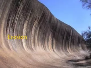
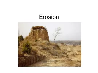
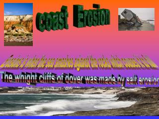
coast Erosion. Erosions is when the sea smashes agianst the rocks witch couses it to full. The whight cliffs of dover was made by salt erosion.

E N D
coast Erosion Erosions is when the sea smashes agianst the rocks witch couses it to full The whight cliffs of dover was made by salt erosion
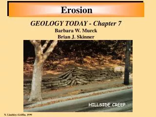
The Holderness Coast in the north east of England stretches for 61½ km from the high chalk cliffs of Flamborough Head in the north to the sand spit of Spurn Point in the south. Renowned for having the highest erosion rates in Europe, the Holderness coast is quoted as eroding at 1.8m per annum. The coastline itself is comprised of low sedimentary cliffs, at the base of which are thin narrow beaches. For specific erosion issues found within this parish see the following links: University of Hull The geography department at the University of Hull have developed a website whereby colour aerial photographs showing 60 km of the Holderness coast have been overlaid with first edition 1852 Ordnance Survey maps. By clicking on the map, the user can bring up one kilometre strips of the Holderness coastline showing the rates of retreat. The following links show aerial photos and map overlays of coastal erosion along the Easington to Spurn coastline - taken from the website Humber Estuary & Coast - Institute of Estuarine and Coastal Studies (IECS), 1994.This report by IECS produced in 1994 for Humberside County Council provides an overview of the current knowledge on coastal processes and landforms in the Humberside and Lincolnshire coastal zone. The section on the Holderness coast provides information on the geology and physical processes operating at the coast, rates of erosion and coastal defence measures. Link to report.
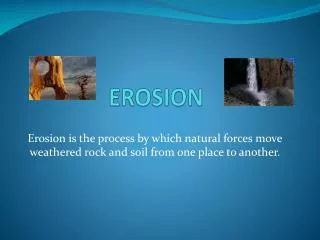
Coastal erosion is a problem for those who live near coasts and for marine organisms living along the coast in bays, estuaries, and shallow waters. We have seen that beaches change with the seasons, and that tsunamis and storm surges can erode coasts. How important is coastal erosion? Are we making it better or worse? What causes erosion? Can it be prevented? Or do we want to allow erosion as a natural process? Many coastal areas are facing chronic long-term shoreline erosion problems. This is especially a problem along the low-lying barrier island systems of the Gulf and Atlantic coasts. Average erosion rates are 6 feet per year along the Gulf and 2 to 3 feet per year along the Atlantic. Some coastal areas may be accreting in the short term, but the general trend is in the direction of shoreline retreat.Batley, Brower, and Schwab (2002). Coastal Erosion is Episodic and Sporadic
Beach erosion is episodic. Most erosion occurs over a short period, sometimes in hours during a hurricane such as Katrina, sometimes during a season as in California during an El Niño event. • Erosion is also sporadic. All and rapidly eroding. The Mississippi delta region in Louisiana is a major example. Some areas erode meters per year. • Other areas, such as the areas are not eroded at the same rate during a storm. Some areas have severe erosion during an event. Other areas have mush less erosion. • Some areas are constantly rocky west coast, erode at a rate of inches per year.