
data.sacriver
E N D
Presentation Transcript
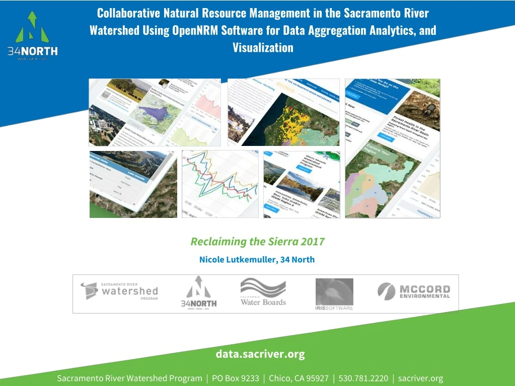
Collaborative Natural Resource Management in the Sacramento River Watershed Using OpenNRM Software for Data Aggregation Analytics, and Visualization Reclaiming the Sierra 2017 Nicole Lutkemuller, 34 North data.sacriver.org Sacramento River Watershed Program | PO Box 9233 | Chico, CA 95927 | 530.781.2220 | sacriver.org
PORTAL TOPICS APPROVED • Current Monitoring and WQ Conditions (Lower Sac Valley) • Region View: Projects, Documents • Reservoirs • Forest Health and Fire • Mercury Mines and Water Quality • Water Temperature and Compliance • Fish Monitoring • Region Focus: Battle Creek, Lower Sac • Safe to Swim • Nutrients 1 2 3 4 Topics Approved
Current Monitoring and Conditions Available Monitoring Programs Portal allows for map based search and catalog access to the following data and monitoring programs • Sacramento Watershed Coordinated Monitoring Program (WDL/SWAMP) • California Data Exchange Center (CDEC) • Sacramento Coordinated Monitoring Program (CEDEN) • Irrigated Lands Regulatory Program Monitoring (CEDEN) • Sacramento River Watershed Program Monitoring (CEDEN) • DWR/IEP Environmental Monitoring Program (BDL Web Services) • Fisheries Data (BDL Web Services) 0 1 2 3 4 5 6 7 Explore Data
How the Portal is Organized? Data Stories: Portal topics (questions) are organized here. Data stories templates currently discuss the following topics: • Temperature Compliance and Monitoring • Safe to Swim • Forest Health and Fire • Reservoirs • Lower Sacramento Valley Current Conditions • Mercury and Mining • Flow • Nutrients 0 1 2 3 4 5 6 7 Data Stories
How the Portal is Organized? Explore Data: Explore monitoring programs and key datasets from the region: • Run filters (Avg, 7DADM etc) • Save Data Maps and Graphs to your Catalog • Share and Download • Monitoring Data • Combine with Spatial Layers • Use Analytics for Visualization 0 1 2 3 4 5 6 7 Explore Data
How the Portal is Organized? Data Providers: Data is aggregated from stakeholders throughout the region: • Hydrologic • Water Quality • Terrestrial • Satellite • Meteorological • Volunteer Sampling 0 1 2 3 4 5 6 7 Explore Data
How the Portal is Organized? Data Dashboards: Compilations for easy display and discovery of data: • Sacramento River Watershed Coordinated Monitoring Program • Fisheries • Triggers and Indices • Regional Hubs 0 1 2 3 4 5 6 7 Data Dashboards
How the Portal is Organized? Interactive Map Tools: Tools to explore the SRW region spatially. Layers can be combined and saved to be used with projects, data stories, maps stories, dashboards and more. • 200 + Map Layers • Query Data • Create and Save Map Stories • Combine Layer with Data 0 1 2 3 4 5 6 7 Interactive Map Tools
Spatial Catalog and Maps Available GIS as Data Layers and Maps Specific to SRWP, over 200+ California Wide 60 Hydrology 14 Restoration Projects 6 Water Projects 60 Fisheries Data 28 Geology 12 Critical Habitat 18 Fire 24 Biogeography 5 Land use 3 Mercury 8 Vegetation 2 Recreation 30 Administrative (Boundaries, Regions, Partners etc) 0 1 2 3 4 5 6 7 Interactive Map Tools
Spatial Catalog and Maps Available GIS as Data Layers and Maps
How the Portal is Organized? Projects While officially a type of catalog, projects are organized to showcase project details according to the amount of project information a user has. We currently have 3 project templates: • General • Data Story • Projects with Dashboards 0 1 2 3 4 5 6 7 Projects
How the Portal is Organized? Catalogs (Geo-Located Everything): Store and help organize content throughout the site. Catalogs are organized into the following categories but can be expanded or condensed: • Document Library • Projects • Data Catalog • GIS • Resources Wiki 0 1 2 3 4 5 6 7 Catalogs
A Collaborative Effort Regional and Statewide Programs SACRAMENTO SAN JOAQUIN BAY-DELTA SWRCB MY WATER QUALITY PORTALS CALIFORNIA ESTUARY PORTAL SAN JOAQUIN REAL TIME MANAGEMENT DWR 1641 WATER QUALITY SACRAMENTO RIVER WATERSHED 1 2 3 4 Regional and Statewide Programs
Building on Each Other’s Program Each region’s needs are different Various Stakeholder Requirements Regional Data Region Specific Data Analysis Local Mapping and GIS Regional Document Libraries Stakeholder Specific Data Dashboards Tool for Local Ecosystem Projects Special Studies Regulatory Reporting Web Service Development Share data and products with other portal’s for system wide view 1 2 3 4 Each region’s needs are different
Sacramento River Watershed Contributing Stakeholders • CA Department of Conservation • CA Department of Water Resources (regional and CWP for Water Management) • Central Valley Regional Water Quality Control Board (regional and Surface Water Ambient Monitoring Program) • Northern CA Water Association/Sacramento Valley Water Quality Coalition (Irrigated Lands Regulatory Program) • Sac Valley Region of Resource Conservation Districts • Sac Valley Regional Water Management Groups (Integrated Regional Water Management) • Sierra Nevada Conservancy - WIP/Watershed Assessments • State Water Resources Control Board • The Nature Conservancy (regional and Fire Learning Network for Forest Health) • UC Davis • US Forest Service - Watershed Improvement Program (WIP) 1 2 3 4 Contributing Stakeholders
How the Portal is Organized? Community Share and collaborate with colleagues: • Catalog entries, saved maps, graphs etc can be made public or kept private. • All assets (including projects) allow users to share or invite members. • Comment Feeds • Library Feeds 0 1 2 3 4 5 6 7 Community