Download
1 / 25
250 likes | 348 Views
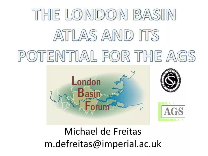
THE LONDON BASIN ATLAS AND ITS POTENTIAL FOR THE AGS. Michael de Freitas m.defreitas@imperial.ac.uk. EARLY DAYS. Lineaments & axes of Woolridge (1923 & 1926) (1) Woolridge & Linton (1939 & 1955) (2). W. The minor structures of the London Basin

E N D
THE LONDON BASIN ATLAS AND ITS POTENTIAL FOR THE AGS Michael de Freitas m.defreitas@imperial.ac.uk
EARLY DAYS Lineaments & axes of Woolridge (1923 & 1926)(1) Woolridge & Linton (1939 & 1955)(2) W • The minor structures • of the London Basin • Proc. Geol. Assoc.,34,:175-193 • The structural evolution • of the London Basin • Proc. Geol. Assoc.,37,:162-192 WM W W F (2) Structure, surface & drainage in S. E. England, George Phillip. W W WM WM WM WM Michael de Freitas
From A to Z Map 35 miles around London – 1:133 000. Based on O. S. Maps Overlay of Woolridge Lineaments on A to Z map EARLY DAYS Michael de Freitas
WHERE’S THE STRUCTURE ? REGIONAL GUIDE 1947 Michael de Freitas
WHERE’S THE STRUCTURE ? REGIONAL GUIDE 1996 Michael de Freitas
HERE’S THE STRUCTURE ! 0 m 0 m 50 m 100 m 150 m 10 km 5 0 Key Major syncline ads for the basin Minor syncline Anticline Axial trace uncertain Dome Fault Key Major synclinal axis for the basin Minor syncline axis Anticline Axial trace uncertain Dome Fault 0 m 50 m 100 m Map of Chalk beneath Eocene Water Resources Board, 1972 Michael de Freitas
ALSO STRUCTURE ? From Barton 1982. The lost rivers of London Michael de Freitas
Map 6 – A map showing the tributaries of the Thames from Kingston to Erith ALSO STRUCTURE ? Michael de Freitas
Map 6 – A map shoing the tributaries of the Thames from Kingston to Erith SURPRISE No 1 Michael de Freitas
SURPRISE No 2 10 km 5 0 Key Major syncline ads for the basin Minor syncline Anticline Axial trace uncertain Dome Fault Key Major synclinal axis for the basin Minor syncline axis Anticline Axial trace uncertain Dome Fault Relationships of the “domes” of Water Resources Board interpretation of Chalk surface beneath the Eocene and lineaments of Thompson, 1997 Map of Chalk beneath Eocene Water Resources Board, 1972 Michael de Freitas
SURPRISE No 3 10 London Basin Current Chalk Groundwater levels January 1996 (metres OD) 00 +40 +20 90 00 -20 -40 80 70 +20 +40 10 8 6 4 2 0 5 Kilometres 40 30 20 10 00 Michael de Freitas
SURPRISE No 4 From A to Z Map 35 miles around London – 1:133 000. Based on O. S. Maps Overlay of Thompson’s Lineaments on A to Z map Overlay of Berry & Wakeling QJEG Data on A to Z Michael de Freitas Greasy backs ward etal. Geotech. 9
IS THERE A REASON FOR THIS ? Michael de Freitas
IS THIS THE LONDON BASIN ? Michael de Freitas
Woolridge & Linton monocline axes NORTH Woolridge fold axes Woolridge fold axes Ameen faults ALPINE IS THIS THE LONDON BASIN ? Michael de Freitas
IS THIS THE LONDON BASIN ? Pull-apart basins with “ups” and “downs” + - + + + + + Michael de Freitas
IS THIS THE LONDON BASIN ? MonteBello4.jpg - Undulating hills and ravines along Upper Stevens Creek Valley are a result of pressure ridges, pull-apart (sag) basins, and shutter ridges along the San Andreas Fault.USGS Michael de Freitas
Tim Newman 2008 Michael de Freitas
Data base? Such a spread may have a number of causes other than lithology, moisture content and sampling PROBLEMS ! Geotechnical Parameter Effects of Compartments Depth Michael de Freitas
DON’T FORGET THE ICE ! Fig. 10. Relationships of ice loading and expected forebulge development (after Dawson 1992) Devoy. R. J. N., 1995, Deglaciation, Earth crustal behaviour and sea level changes etc. in Preece. R. C. (ed.) Island Britain: a Quaternary perspective. Geol. Soc. Spec. Labs. 96: 181-208 ISBN 1-897799-32-2 Ballantyne. C. K., Harris. C., The Periglaciation of Great Britain ISBN 0-521-310164 Michael de Freitas
WHAT WILL THE ATLAS DO? Maurits Cornelis Escher (1898-1972) PUT SITE GEOLOGY INTO PERSPECTIVE Michael de Freitas
WHAT WILL THE ATLAS NOT DO? THE CLIENT’S GROUND INVESTIGATION Michael de Freitas
HOW WILL THE ATLAS BE USED? CONCEPTUAL MODELS AS A BASIS FOR NUMERICAL MODELS RISK MANAGEMENT & CONTRACTS Michael de Freitas
HOWWILL THE ATLAS WORK? Geological Society Atlas Dashboard The London Basin Atlas Co. DATA Research Group £ FEE Commercial Forum British Geological Survey GeoIndex
Thank you FOR FURTHER INFORMATION CONTACT m.defreitas@imperial.ac.uk Michael de Freitas