Download
1 / 44
440 likes | 562 Views
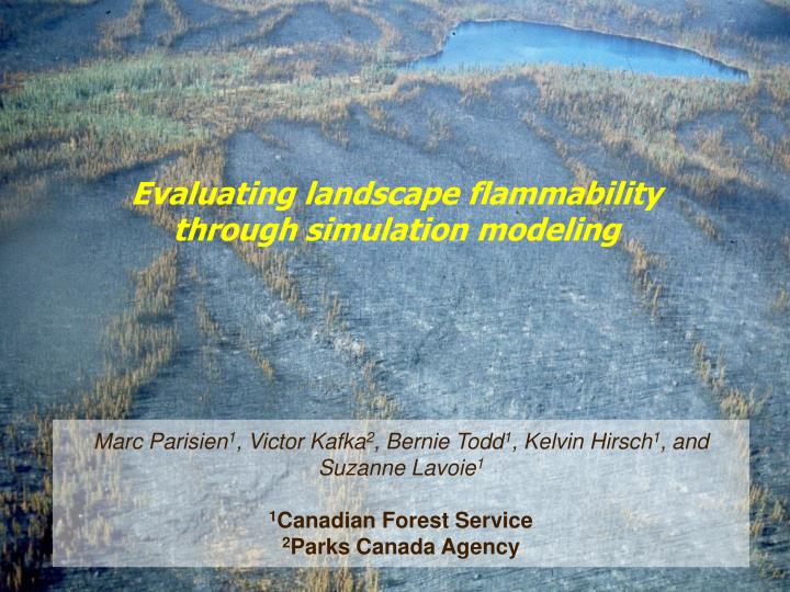
Evaluating landscape flammability through simulation modeling. Marc Parisien 1 , Victor Kafka 2 , Bernie Todd 1 , Kelvin Hirsch 1 , and Suzanne Lavoie 1 1 Canadian Forest Service 2 Parks Canada Agency. Introduction. Increasing knowledge of factors affecting landscape flammability

E N D
Evaluating landscape flammability through simulation modeling Marc Parisien1, Victor Kafka2, Bernie Todd1, Kelvin Hirsch1, and Suzanne Lavoie1 1Canadian Forest Service 2Parks Canada Agency
Introduction • Increasing knowledge of factors affecting landscape flammability • However, predicting landscape flammability has been largely unattained • This is even more challenging in the North American boreal forest • Most area burned is caused by few large and intense fires • Large spatial variations in the fire regime
Introduction What we need • To quantatively evaluate landscape flammability (i.e., burn probability) What we know • It is possible to predict individual fire behavior using the factors that affect physical fire spread (weather, fuels, topography) • Larger-scale aspects of the fire regime are best predicted probabilistically (i.e., ignitions, fire weather) What we have • Fire growth models simulating physical fire spread • Historical wildfire information
Objective • To evaluate burn probabilities (BP) across a landscape using a modelling approach that combines • the physical components of fire spread • other probabilistic components of the fire regime BURN-P3 (Probability, Prediction, and Planning) Maps the probability of burning of the actual landscape under current burning conditions submitted to historical variability
Study Area: Central Saskatchewan Area: 15 M hectares
Components of the Model IGNITION LOCATIONS Determined from historical fire databases The information is drawn from statistical distributions NUMBER OF ESCAPED FIRES Probabilistic NUMBER OF FIRE SPREAD DAYS FIRE WEATHER Simulates the growth of escaped fires (200 ha) Mechanistic PHYSICAL FIRE GROWTH
Fire growth modeling WILDFIRE Fire Growth Model • Raster-based model • Based on Canadian Forest Fire Danger Rating System theory • Rate of spread equations • Fire behavior • Inputs • Hourly fire weather • Forest fuels • Topography • Produces maps of the fire perimeter and fire behavior
Components of the Model NUMBER OF ITERATIONS IGNITION LOCATIONS Probability of burning = Number of times each cell burned Number of iteration NUMBER OF ESCAPED FIRES NUMBER OF FIRE SPREAD DAYS FIRE WEATHER PHYSICAL FIRE GROWTH SIMULATIONS STORED
Burn probability (%) Burn probability map for the 2003 fire season
What’s next? • Integrating Prometheus in BURN-P3 • More realistic fire growth modeling • Increased functionality • Greater user base • Creating a graphic user interface for BURN-P3 • BURN-P3 will become one of the first fire management strategic planning tools • Available Canada-wide, to any interested user • Flexible, user-friendly tool (i.e., not a strict model) • On-going process, open to suggestions from operations
Forest B Forest A 25 km Burn probability (%)
Spring Summer Number of fires 50 150 250 350 Julian Day Number of fires from 1981 to 2002 Study area
Number of fires from 1981 to 2002 1 Study area
Historical fires Simulated fires Fire Size Distribution
Reduction in BP outside the perimeter Large burns disrupt the paths of incoming fires The chance that fires ignite nearby is decreased
500 iterations 73,000 ha Objective #2: Heterogeneous (actual) landscape Peripheral reduction in BP due to: • Different forest fuels • The amount and configuration of landscape features • The direction of predominant winds
Objective #2: homogeneous landscapes Reduction in BP according to: • The shape of old burns • The size of old burns • 1000 ha • 10,000 ha • 100,000 ha All factors are held constant except: • Fire weather • Number of fire spread days Old burn (non fuel) 100,000 ha Boreal spruce fuel type (most flammable)
100,000 ha 1000 iterations
Inside buffer Average BP = 1.9% Outside buffer Average BP = 2.6% 5-km buffer 1000 iterations
1-km buffer Average BP = 1.5% 2 to 5-km buffer Average BP = 2.0% 1-km buffer 2 to 5-km buffer • Percent difference in BP between: • The two buffers: 25% • The 1-km buffer and outside the buffer: 42% 1000 iterations
Kootenay Park Lodge 2003 fire 2001 fire
Reduction in Landscape Flammability Fires 1945 to 2002 Present FBP fuels (LANDSAT) Non fuel
12 years of historical daily fire weather data (40 wx stations) Retrieve days with high/extreme fire weather (ISI 8.6) Store by season (2) and weather region (8) TOTAL = 16 weather files SELECTION OF FIRE WEATHER RECORDS (DAYS) Determine ISI for HFI 4000 kW/m for C-2, C-3, and C-4