Download
1 / 9
90 likes | 206 Views
Mapping. Chapter 16. Uses of Topographic Maps. To determine the topography or relief of a tract of land. To determine hydrologic features such as drainage basins, streams, rivers and bodies of water.

E N D
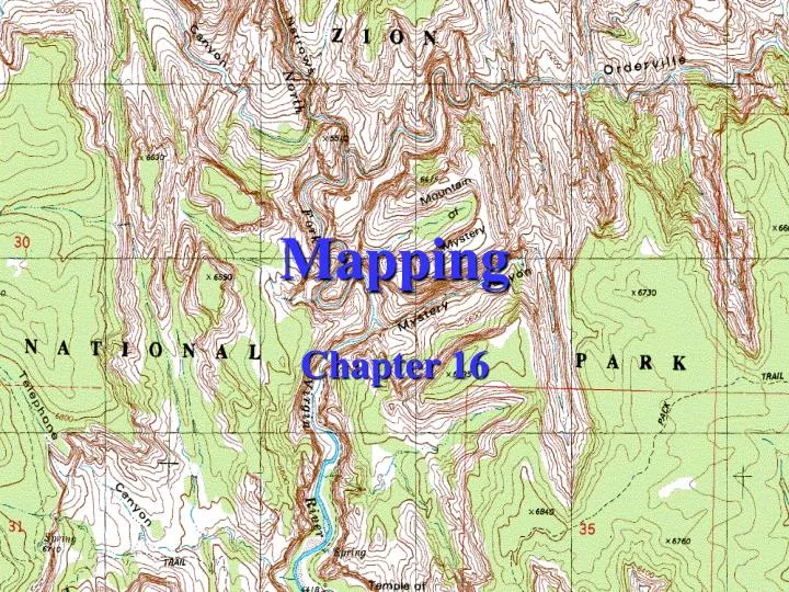
Mapping Chapter 16
Uses of Topographic Maps To determine the topography or relief of a tract of land. To determine hydrologic features such as drainage basins, streams, rivers and bodies of water. To determine the cultural features or man-made features such as highways, railroads, dams and buildings. Topographic maps are used by engineers and architects to determine building layouts, utility connections and drainage requirements. Contractors use topographic information to determine earthwork requirements.
Methods of Collecting Topographic Data Satellite Imagery Aerial Photography Existing Topographic Maps Field Work Total Station GPS
Control for Topographic Surveys Horizontal Control: Establish Traverse. Vertical Control: Establish Elevations from Benchmark.
Contours Used to Determine Topography
Contours Contour lines are lines of equal elevation. The contour interval is defined as the difference in elevation between contours.
Rules for Drawing Contours Contour lines must close upon themselves. They cannot simply dead-end. Contours are perpendicular to the direction of slope. The slope between contour lines is assumed to be uniform. In other words, contour lines are assumed to be man-made. The distance between contours indicates the steepness of the slope. Concentric closed contours represent hills or depressions.