Download
1 / 7
70 likes | 195 Views
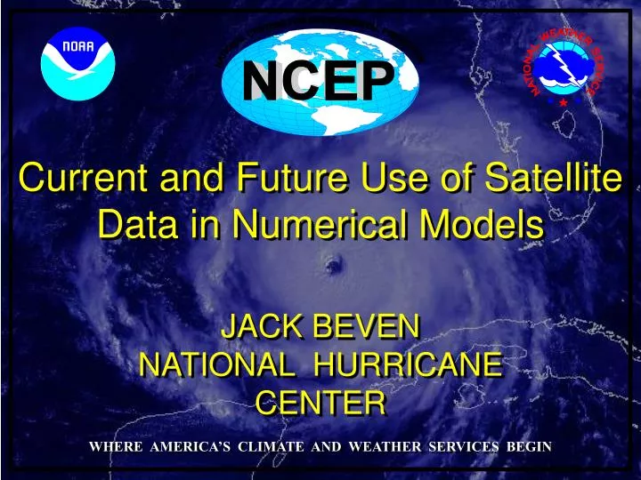
NATIONAL CENTERS FOR ENVIRONMENTAL PREDICTION. Current and Future Use of Satellite Data in Numerical Models. JACK BEVEN. NATIONAL HURRICANE CENTER. WHERE AMERICA’S CLIMATE AND WEATHER SERVICES BEGIN. NHC forecasts rely on numerical weather prediction models.

E N D
NATIONAL CENTERS FOR ENVIRONMENTAL PREDICTION Current and Future Use of Satellite Data in Numerical Models JACK BEVEN NATIONAL HURRICANE CENTER WHERE AMERICA’S CLIMATE AND WEATHER SERVICES BEGIN
NHC forecasts rely on numerical weather prediction models NHC track forecast errors have decreased considerably over the past 20-40 years, due mainly to increased skill of the NWP models. Intensity errors are not decreasing significantly. Model skill with TCs and other types of weather has increased due to factors such as increased resolution, improved model dynamics and physics, and use of satellite data to improve the model analyses in data-sparse regions.
Satellite data in NWP Satellite sounder (IR and microwave) data from low earth orbiting satellites are major contributors to improved NWP forecasts. It is expected that in the next 10 years advanced sounders will be flying on geostationary satellites. Model data assimilation systems need upgrades to handle both existing and new data. The latter will be orders of magnitude more than what is available now. Despite the advances, tropical cyclones remain a tough nut to crack! (courtesy of Jim Goerss, NRL)
The Joint Center for Satellite Data Assimilation (courtesy of Lars Peter Riishojgaard)
Two of the current efforts to improve satellite data assimilation (courtesy ECMWF) • Development of 4-D Var and Ensemble Kalman Filter techniques. • These more powerful assimilation techniques come with a computational cost. • Development of Observation System Simulation Experiments (OSSEs) to test how new data sources can be utilized in data assimilation systems. • Enables the modeling community to be ready when a new data source becomes available. • Potential new data sources include lightning mappers, laser wind-measuring instruments, next-generation microwave radiometers/sounders, next-generation scatterometers, and satellite and land-based radar systems. (courtesy of Jim Goerss, NRL)
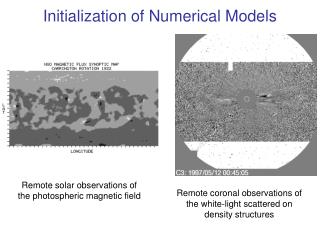
Infrared – thin cloudsSolar – top of clouds Outflow winds Submm – Ice Water Path microwave – Liquid Water Path microwave (Rad/P) - precipitation Surface winds – scatterometer/microwave How can we analyze the structure of a TC with satellites? Sounder – microwave/ infrared – thermal structure Slide courtesy of Steve Ackerman