Web Survey Synthesis
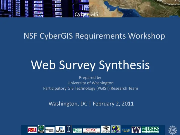
NSF CyberGIS Requirements Workshop. Web Survey Synthesis. Prepared by University of Washington Participatory GIS Technology (PGIST) Research Team. Washington, DC | February 2, 2011. 1 /19. 2 /19. Two Frameworks for Content Analysis/Synthesis. EM Phases. General Capabilities. 3 /19.

Web Survey Synthesis
E N D
Presentation Transcript
NSF CyberGIS Requirements Workshop Web Survey Synthesis Prepared by University of Washington Participatory GIS Technology (PGIST) Research Team Washington, DC | February 2, 2011
Two Frameworks for Content Analysis/Synthesis EM Phases General Capabilities 3/19
Q1: What policy and scientific questions for emergency management (EM) are to be addressed that have not been adequately addressed in the policy and scientific literature? “How do you define, quantify, model, and communicate extreme events and community resilience to be able to assess, plan for and enhance communities against extreme events?” 4/19
Q1: What policy and scientific questions for emergency management (EM) are to be addressed that have not been adequately addressed in the policy and scientific literature? 5/19
Q1: What policy and scientific questions for emergency management (EM) are to be addressed that have not been adequately addressed in the policy and scientific literature? 6/19
Q2: Which of the CyberGIS capabilities listed is the Software Elements table can address the questions specified in Question 1? 7/19
Q3: What other application capabilities are needed for moving the science and policy of emergency management forward, perhaps incrementally or by a major leap? (Table portrays three separate lists. No cross-column reading intended.) Transdisciplinary & cross-domain, rapid, optimized, integrated, adaptable, highly-performant 8/19
Ontology/Concepts • Coupled human/natural systems • Vulnerabilities and impacts • Resilience • Uncertainty • Integration • Open • Ad hoc • Inclusive • Selective • Simulation • Event prediction/forecast • Impacts • Response capacity • Alternative futures • Data/Information • Scale/granularity • Source (reliability, compatibility) • Currency Computational Performance/Throughput • Decision • Computational methods • Geo-optimization • Probability • Cost/benefit analysis • Collaboration • Communication • Alerts • VGI enablement • Situation awareness • Collaboration • Operation • Dynamic adjustment • Methods/tech for • first responders 9/19
Q4: Based on your response in Question 3, what software tools / packages can address those other capabilities? 5 Number of respondents who feel that the tools needed to innovate do not yet exist 10/19
Q4: Based on your response in Question 3, what software tools / packages can address those other capabilities? 11/19
Q5: How would you like to see the application capabilities integrated into a CyberGIS platform? (Table portrays three separate lists. No cross-column reading intended.) 12/19
Q6: What are the main obstacles for answering the questions identified in Question 1 in light of CyberGIS, e.g. availability of software, data, software integration, etc.? “All of the above” “Most packages developed for different problem domains are largely silos with the ability to integrate with other systems either ignored or given only limited thought...this is a key constraint in a more holistic understanding of how these different frameworks may be brought together.” “The problem is very complex because of all the stakeholders, unique threats, socioeconomic and cultural variation in sub-populations, distributed resources and time critical nature of this application area.” 13/19
Q6: What are the main obstacles for answering the questions identified in Question 1 in light of CyberGIS, e.g. availability of software, data, software integration, etc.? 14/19
Q6: What are the main obstacles for answering the questions identified in Question 1 in light of CyberGIS, e.g. availability of software, data, software integration, etc.? 15/19
End Users Devices Portals Applications CyberGIS EM Stack: Where is CyberGIS boundary? Where do we/you fit? Service Providers Model Standards Service Consumers Tech Standards Spatial Middleware Service Registry Generic CyberInfrastructure 16/19
Wordle-based Tag Cloud: All Terms Note size of “SPATIAL” word at right 17/19
THANK YOU! CyberGIS Project is funded by National Science Foundation (NSF) grant number OCI1047916 as part of the NSF Software Infrastructure for Sustained Innovation (SI2) Program to develop a geospatial cyberinfrastructure environment for sustained geospatial innovation and discovery through the integration of cyberinfrastructure, GIS, and spatial analysis/modeling software. The researchers are responsible for all content. 19/19