Download
1 / 15
170 likes | 314 Views
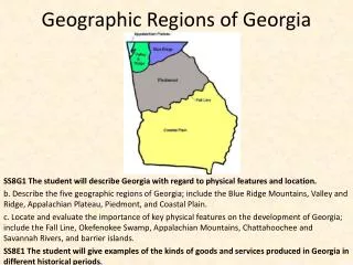
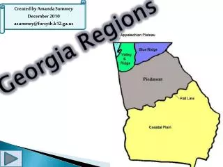
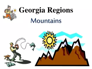
5 Regions of Georgia. Appalachian Plateau. The smallest “Tag Corner” – the point where Tennessee ,Georgia and Alabama met Elevation from sea level to 2,000 ft. Most scenic but least traveled Has the most hardwood trees. Ridge and Valley. Area where we live

E N D
Appalachian Plateau • The smallest • “Tag Corner” – the point where Tennessee ,Georgia and Alabama met • Elevation from sea level to 2,000 ft. • Most scenic but least traveled • Has the most hardwood trees
Ridge and Valley • Area where we live • Elevation from 700 to 1600 ft above sea level • The land goes from Pasture and farm land (low valleys) to apple orchards to mountains
Blue Ridge • The highest and largest in state • Mountains supply all of the water for the state (especially Atlanta) • Beginning of the Appalachian Trail • Brasstown Bald the highest point (5,000 ft)
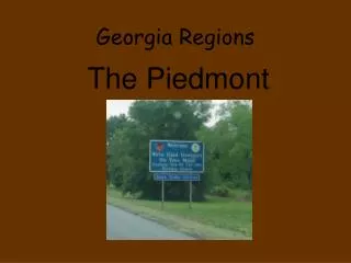
Piedmont • Most populated ( more than half of the state’s population lives here) • Stone Mountain – the world’s largest mass of granite • Still has pasture and farm land
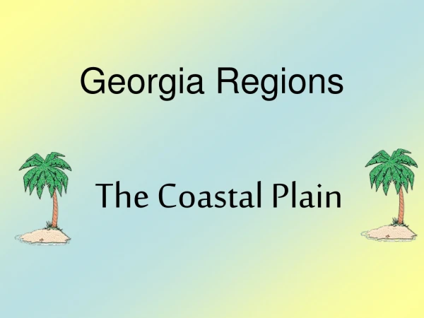
Coastal Plain • Inner Coastal – agriculture • Peanuts, cotton • Outer Coastal – center of naval stores ( pulp from pine trees supplies tar, pitch, rosin, and turpentine) • Large pulp production for paper • 63% forest
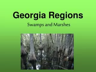
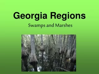
Wetlands • Low lying land area lies close to the surface creating sloughs, swamps, bogs, ponds, and freshwater marshes. • Is influenced by tides creating salt marshes.
Barrier Islands • Islands that protect the beaches by blocking the wind, sands, and water that could erode the mainland
Continental Shelf • The portion of the continent or coastal plain that extends into the ocean.
Fall Line • The place where hills or mountainous lands meet the coastal plain. • Rivers and creeks that flow downhill from the mountains cutting deep channels into the soil creating waterfalls
Climate • The type of weather a region has over a long period of time
Weather • The day to day conditions and changes in the atmosphere.
Climate of Georgia • Mild to moderate • Longer growing season for farmers • Businesses move to Georgia to save on heating costs • Less employee absences due to weather
Precipitation for Georgia • Rain falls in the North Georgia mountains (Blue Ridge) • Atlanta needs the snowfall that melts from the Blue Ridge mountains • Lake Lanier is the only water source for the North Georgia area and Atlanta.
Drought • Lack of rain fall