Download
1 / 15
160 likes | 315 Views
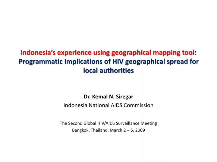
Indonesia ’s experience using geographical mapping tool : Programmatic implications of HIV geographical spread for local authorities. Dr. Kemal N. Siregar Indonesia National AIDS Commission The Second Global HIV/AIDS Surveillance Meeting Bangkok, Thailand, March 2 – 5, 2009.

E N D
Indonesia’s experience using geographical mapping tool:Programmatic implications of HIV geographical spread for local authorities Dr. Kemal N. Siregar Indonesia National AIDS Commission The Second Global HIV/AIDS Surveillance Meeting Bangkok, Thailand, March 2 – 5, 2009
Introduction HIV Vulnerable Map, Indonesia (Based on HIV prevalence among FSW and adult population) Legend: HIV prev on FSW < 5% HIV prev on FSW >= 5% and on general population (15+) < 1% HIV prev on FSW >= 5% and/or on general population (15+) > = 1% Source: Estimation of HIV Key Population, 2006, NAC and MoH
Questions • How to identify strategic locations for program implementation? • How different are the epidemic level among geographical locations across Indonesia? • How to locate the comprehensive prevention program into areas, where universal access targets could be reached? • As to what extend the current services are accessible by most key population?
Methodology • Data sources: AIDS cases surveillance, program M&E, but mainly Most-at-risk Population Size Estimation: • Estimation (High-Low) of Number of Most-at-risk Key Population, Number of People Living with HIV, and HIV Prevalence • Most-at-risk Key Population: IDUs and partners, FSW, Clients and partners, MSM, Transgender (Waria), Clients, Prisoners • Locations: All provinces (33) and districts (440) • Time: Late 2006 – Early 2007 • Method: Descriptive Geographical Mapping Coding the data according to mapping standard code, joint the data and the map, develop indicator cut off point, overlay the map with other database (i.e service point), present the map for interpretation • Indicators: HIV Prevalence, Number of Most-at-risk Key Population
Results and implications (1) • Different region has different epidemic level • While currently AIDS cases reported by all 33 provinces and almost half of 440 districts, most regions in Indonesia are in concentrated epidemic with average HIV prevalence among adult population of 0.2% and low level generalized epidemic in Tanah Papua with 2.4% prevalence. • Apparently there is interconnection among different locations with high HIV prevalence that may explain geographic spread of the disease. Different regions have different types of geographic explanation on the spread of the disease. • Implications: Provinces should have capacity to develop program that relevant to their epidemic level and geographic condition. Each province should have surveillance capacity (with geographical presentation), including those with low level epidemic, to monitor the changing of risk and the prevalence of the disease.
A National View of HIV Infection193,000 people (15 – 49 yo) living with HIV, 2006 HIV Adult Prevalence, 2006: (size estimation of PLWH divided by population size) Number of PLWHA, 2006:
g Distribution of HIV Infectionin 33 Provinces, 440 Districts in Indonesia North Sumatera (GF/R8) East Kalimantan North Sulawesi Riau (GF/R8) Region with more developed main roads West Kalimantan Riau Islands (GF/R8) West Papua (GF/R8) Maluku South Sumatera (GF/R8) Lampung DKI Jakarta (GF/R8) South Sulawesi (GF/R8) Banten East Java (GF/R8) West Java (GF/R8) Central Java (GF/R8) DI Yogyakarta Papua (GF/R8) Bali (GF/R8) HIV Adult Prevalence, 2006: (size estimation of PLWH divided by population size) Label: Priority provinces in National Action Plan 2007 – 2010 (19 provinces) In brackets: Priority provinces in GF/ATM R8 (12 out of 19 provinces)
Distribution of HIV Infectionin Sumatera, Java and Bali, Indonesia Sexual transaction locations on the network of main roads HIV Adult Prevalence, 2006: (size estimation of PLWH divided by population size) Main road Priority districts of GF/ATM Round 8 (70% are located in Sumatera, Java and Bali island)
Results and implications (2) • HIV distribution has geographical pattern: This helps to identify priority districts • New HIV infection strongly focused in few behaviorally linked at-risk groups - IDUs, clients and FSW, MSM (Tim Brown, East West Center). Following this notion, the distribution of location with high number of MARP shows similar geographical pattern although among different key population mapping • Implications: • National and provincial strategic planning should set geographical priority to target the program into focused areas but could cover 80% MARPs • The priority districts should have the capacity to maintain and develop more precise size estimation and mapping the locations of MARPs, to monitor the coverage and the effectiveness of the program implementation
Distribution of HIV Infectionin Banten, DKI Jaya and West Java Province, Indonesia Crossing pathway between islands HIV Adult Prevalence, 2006: (size estimation of PLWH divided by population size) Main road Priority districts in GF/ATM Round 8
Distribution of most-at risk population of FSW, IDUs, Clients, and MSM, East Kalimantan FSW IDUs Focused areas Number of IDUs, 2006: Number of FSWs, 2006: Clients MSM Number of Clients, 2006: Number of MSMs, 2006:
District IDUs + Prisoners Number % Cumulative total 1 Kota Balikpapan 2.520 23,5% 23,5% 2 Kota Samarinda 2.300 21,5% 45,0% 3 Kota Tarakan 1.280 12,0% 57,0% 4 Penajam Paser Utara 840 7,8% 64,8% 5 Kutai Timur 830 7,7% 72,5% 6 Kutai Kartanegara 780 7,3% 79,8% 7 Berau 740 6,9% 86,7% 8 Bulongan 440 4,1% 90,8% 9 Kota Bontang 340 3,2% 94,0% 10 Pasir 280 2,6% 96,6% 11 Kutai Barat 180 1,7% 98,3% 12 Nunukan 130 1,2% 99,5% 13 Malinau 50 0,5% 100,0% Total 10.710 Geographical priority setting to cover 80% MARPs 12
Results and Implications (3) • There are still gaps between geographical location of service delivery and the concentration of MARP • Implications: • At implementation level (province and district), the development of the service delivery should be in most accessible locations by relevant key population • There should be a close link between the provincial and district surveillance (including M&E) and the program, to assess and determine where the appropriate place to establish service delivery points
Ф ! = 1 STI Service (2007) Distribution of STI Services and FSW in West Java Province Number of FSW (2006): GF R8 priority districts (7) (2009 – 2014)
Ф ! = 1 STI Service (2007) Distribution of STI Services and FSW in Central Java Province Number of FSW (2006): GF R8 priority districts (8) (2009 – 2014)