Download
1 / 22
220 likes | 302 Views
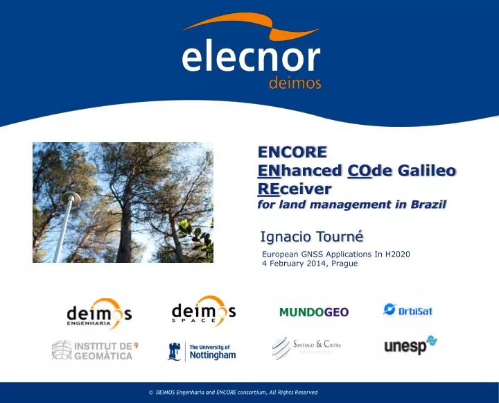
ENCORE EN hanced CO de Galileo RE ceiver for land management in Brazil. Ignacio Tourné. European GNSS Applications In H2020 4 February 2014, Prague. Company presentation.

E N D
ENCOREENhancedCOde Galileo REceiverfor land management in Brazil Ignacio Tourné European GNSS Applications In H20204 February 2014, Prague
Company presentation • Deimos Engenharia is the Portuguese branch of ELECNOR-Deimos, a space company with 35 M€ annual turnover and more than 300 engineers • Relevant Contribution to the majority of ESA Programmes • Areas of activity: • Mission analysis • GNSS syst and apps • On board software • Ground segment • Design, integrate and operate EO satellites: Deimos-1 and 2
ENCORE in brief: Taking benefit of the new Galileo ranging signals, ENCORE project developed a low-cost Land Management Application to cover Brazilian needs in terms of geo-referencing and cadastre planning. Seventh Framework Programme (FP7/2007-2013) under the GNSS Supervisory Authority grant agreement FP7-GALILEO-2008-GSA-1 Proj. 247939 • Started in February 2010 • Final Review in June 2012 The ENCORE project lead by DEIMOS Engenharia (Portugal) in partnership with: Institute of Geomatics, DEIMOS Space (Spain), University of Nottingham (UK), Universidade Estadual Paulista(Brazil), Orbisat da Amazônia Indústria e Aerolevantamento (Brazil), Santiago & Cintra Importação e Exportaçao Ltda (Brazil) and Editora Mundo GEO ltda (Brazil).
Presentation Outline Introduction and Motivation System Overview and Innovation Results Conclusions
Introduction and Motivation ENCORE Project objectives: • Introduction of Galileo terminals in the Brazilian market for land management applications (geo-referencing and cadastre), with possible future expansion to other countries and related applications • Stimulating the participation of international entities from Brazil • Development of a high-precision and low-costland management application based on Galileo signals
Introduction and Motivation Land Management in Brazil • The Brazilian market lacks information mainly in terms of geo-referencing of rural real estates (10.267/2001 Federal Law) • There is an increasing demand for topographical surveys of rural areas • Commercially available professional GPS receivers are limited and expensive. The development of solutions tailored to the Brazilian case is required and the technology involving Galileo receivers is shown to be adequate to this purpose.
Introduction and Motivation Brazilian Technical Norm Position accuracy • Rural properties require horizontal position error < 0,5m and vertical < 1,5m
Introduction and Motivation Other potential applications • Urban property registration • Mapping of urban infrastructure (e.g. basic sanitation, communications) for Geographic Information Systems (GIS) • Applications supporting the planning and decision-making in urban environment
Introduction and Motivation System Overview and Innovation Results • Base-band processing • Positioning Conclusions
System Overview and Innovation Architecture Overview
System Overview and Innovation RF Front-end Antenna cable Test Workstation Host Computer ReceiverPrototype Host Computer
System Overview and Innovation Application SW
System Overview and Innovation Innovation in the project • Use Galileo Pseudorange Observables from Galileo • E5 AltBOC and E1 CBOC for low tracking & multipath errors; • Fill the gap for land management applications using Galileo • Intermediate accuracies between Professional (cm) and Mass market (meter) receivers, with lower complexity & cost.
System Overview and Innovation GNSS Positioning Phase Code 1 frequency receiver 2 frequency receiver Differential Absolute Real-Time Post-Processing Real-Time Post-Processing Positioning Strategy is inspired on Precise Point Positioning • Although the receiver is a dual frequency, the positioning algorithm is not based on iono-free combination (E1 is too noisy); • Use E5 AltBOC code observables (centimeter errors) with: • Specific models to consider ionosphericvariaton& receiver biases • Satellite orbits & clocks from IGS and tropo from INPE • Real Time (RT) and Post Process (PP) position determination
Presentation Outline Introduction and Motivation System Overview and Innovation Results Conclusions
Results Tracking Results (1/2) : Test setup
Results Tracking Results (2/2) : Accuracy • Overall agreement of theoretical and measured data • E1 code tracking error typically below 20 cm (>44dBHz) • E5 code tracking error typically below 1.5 cm (>47dBHz) E1 CBOC E5 AltBOC
Results Positioning results • Results of the combination of E1 CBOC / E5 AltBOC indicate cm-level [horizontal] to dm-level [vertical] positioning capability in open areas. • Results of the combination of E1 CBOC / E5 AltBOC indicate low dm-level [horizontal] to dm-level [vertical] positioning capability in moderate tree covered areas. • Results indicate ENCORE can be used for surveying
Presentation Outline Introduction and Motivation System Overview and Innovation Results Conclusions
Conclusions ENCORE project explores Galileo potential for surveying: • Developed an application within the Brazilian context: • Prototype of receiver: RF (ICs) and DSP (FGPA) stage • Defined positioning algorithms and application software using an innovative approach, harvesting AltBOC potential • Tests with Spirent simulator and synthetic RINEX data revealed very successful performances • Implemented business plan for potential investors • Disseminatedresults in dedicated workshop, conferences, magazines, newspapers and internet • Promising results, showing Galileo can bring high benefits to the surveying community • ENCORE project is considered a success!
THANK YOU! Contacts:ignacio.tourne@deimos-space.com pedro.silva@deimos.com.pt