Download
1 / 10
100 likes | 171 Views
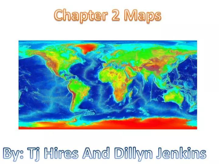
Chapter 2 Maps. By: Tj Hires. And Dillyn Jenkins. Topographic map. Is the map that shows surface features or the topography of the earth. It shows both natural features such as rivers lakes and mountains. It is also made by human features such cities roads an bridges.

E N D
Chapter 2 Maps By: Tj Hires And Dillyn Jenkins
Topographic map • Is the map that shows surface features or the topography of the earth. • It shows both natural features such as rivers lakes and mountains. • It is also made by human features such cities roads an bridges. • It also shows the elevation.
Contour lines • They are lines that connect points of equal elevation. • One contour lines can connect points on a map that have an elevation of 100ft another one will connect of 200ft.
Contour interval • It is the difference in elevation between one contour line an the next. • For an example a map with a contour interval of 20ft would have contour lines every 20ft, of elevation change every 20ft.
Index contour • It is a dark heavy contour line that is usually every fifth line and that is labeled by elevation. • It is on many topographic maps, the mapmaker uses it to make reading the map easier.
Latitude and longitude • Latitude lines are imaginary drawn around the earth parallel to the equator. • Latitude is the distance north to south measured in degrees from the equator. • Longitude lines are imaginary thatpass through the poles. • They also is the distance east and west measured in degrees from the prime meridian.
Map projections • They are used to transfer the image of earths curve surface on to the flat surface. • No Map projections of the earth can represent the surface of the sphere exactly. • All flat maps have some amount of distortion .
Vocabulary • Map- • true north- • Magnetic declination- • Equator- • Latitude an longitude- • Prime meridian- • Mercator projection- • Conic projection-
More vocabulary • Azimuthal projection- • Aerial photograph- • Remote sensing- • Topographic map- • Elevation- • Contour lines- • Contour interval-
Final vocabulary • Relief- • Index contour-