Download
1 / 12
120 likes | 292 Views
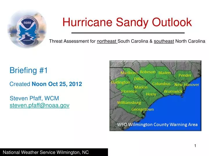
Hurricane Sandy Outlook. Threat Assessment for northeast South Carolina & southeast North Carolina. Briefing #1. Created Noon Oct 25, 2012. Steven Pfaff, WCM steven.pfaff@noaa.gov. National Weather Service Wilmington, NC. Overview.

E N D
Hurricane Sandy Outlook Threat Assessment for northeast South Carolina & southeast North Carolina Briefing #1 Created Noon Oct 25, 2012 Steven Pfaff, WCM steven.pfaff@noaa.gov National Weather Service Wilmington, NC
Overview - Hurricane Sandy will move north to off the Carolinas coast by this weekend. - The storm will lose tropical characteristics as it moves north, and will increase in size, but is forecast to weaken. - As a result, the area will be affected by the outer portions of the storm as it moves by.
Preliminary Threats/Impacts Matrix Hazards Specific to southeast NC and northeast SC Minimal surge, but beach erosion could be significant along east facing beaches Very low tornado probability Dangerous surf and rough ocean conditions Localized flooding possible – not widespread Wind impact highest along the immediate coast
Potential Threats/Impacts Most of the impacts will be felt along the coast, but the more significant aspects of this storm will remain over marine areas. Wind Impacts – Northerly winds will increase during Saturday with 20-30 mph sustained winds and gusts to 40 mph most coastal locations. Depending on how large the storm expands as it moves northward winds could increase to 30 to 35 mph with gusts to 50 across immediate coastal portions of southeast NC Saturday. Storm Surge – Since the area will be on the west side of the storm any surge will be minimal. At this time, minor ocean over-wash can be expected during times of high tide in those areas typically susceptible to coastal flooding. Tornadoes – An isolated tornado is possible thought the probability is very low; however, damaging straight-line winds from any strong squalls that move onshore could become an issue. Flooding – The area is expected to receive 1 to 3 inches of rainfall, with the highest amounts across the coastal Cape Fear Region. Isolated flooding is possible, but favorable ground and drainage conditions should prevent any widespread flooding.
Potential Threats/Impacts – Summary Cont. River Flood – The rivers most likely to be affected by significant rainfall are the NE Cape Fear near Burgaw and the Waccamaw at Conway. Due to recent dry conditions and current river levels, it appears unlikely that any rivers in the ILM service area will exceed flood stage as a result of Sandy. Marine – This storm is likely to significantly affect vessel operations off the Carolina Coast. During Saturday, winds will increase to tropical storm force, especially across the outer coastal waters. Seas are forecast to exceed 15 ft late Friday night into Saturday night. Strong offshore winds will continue across the waters in the wake of Sandy Sunday. Areas in/near inlet entrances will be especially treacherous, and steep waves will be further enhanced from the currents during a falling tide. Surf - Large breakers are expected to impact the area beaches as the waves from Sandy affect the beaches Friday through late Saturday. In addition, the large waves and dangerous surf Rip Currents – Strong rip currents are likely through the weekend as large swells create favorable wave setup that support rip current formation. Aviation – Squalls from the storm will likely lead to some aviation issues (IFR conditions) Friday night, with the worst of the conditions expected Saturday and Saturday night. Depending on the eventual track of the storm, larger terminals farther up the Eastern Sea Board may be significantly impacted early next week.
Storm Information – Advisory #13 11 AM EDT Oct 25 Position:22.4 North 75.5 West, approximately 700 nautical miles south of Cape Fear, NC. Intensity:Sustained winds are near 105 mph (Cat. 2). Movement:Sandy is moving to the North near 16 mph. Minimum Pressure:964 mb or 28.47 inches.
Official Track Information A turn to the north-northwest is expected tonight, then a turn to the northeast Saturday will keep the center of the storm off the Carolinas Coast. Although the storm will weaken and lose tropical characteristics with time, the wind field will expand during Saturday and Sunday. Given the increasing wind field residents are advised to closely monitor the progress of this storm, and residents long the coast should take precautionary actions to secure any loose objects around the yard (lawn furniture, garbage cans, etc.) The closest approach of the storm’s center from Cape Fear will be 255 nautical miles to the east-southeast Saturday night. However, the wind field will increase as it moves by the area. NHC Advisory #13 1100 AM EDT Oct 25, 2012
Model Information - There is good model agreement as the storm moves through the Bahamas and off the coast of SC. - Bigger disparity begins once the storm gets off the NC coast with a wide variety of scenarios. The NHC official track turns the storm back to the East Coast late in the forecast period. *Note: tropical cyclones can, and do, deviate from the model consensus. Follow the official NHC forecast for the latest track.
Tropical Storm and Hurricane Probabilities - The tropical storm force probabilities imply that people in coastal northeast SC and southeast NC should continue to closely monitor the evolution of the storm and be prepared to take action if the forecast changes. - Meanwhile the hurricane probabilities show that any hurricane force winds will remain well of the coast.
Next Briefing Information 0800 EDT Friday Next PowerPoint available: Next conference call time: 0830 EDT Friday *Friday’s conference call will last 15-20 minutes.