
Joss’alun Discovery: Geological Survey Overview
Explore the Joss’alun Discovery findings, including mineral characteristics, location details, and photos. Discover the mineralized zones in the Atlin area and learn about the proposed road routes and nearest claims.

Joss’alun Discovery: Geological Survey Overview
E N D
Presentation Transcript
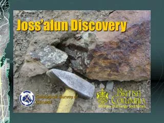
Ministry of Energy and Mines Joss’alun Discovery Geological Survey of Canada
Atlin General Location Road to Alaska Hwy Atlin park Kuthai Lake Joss’alun Discovery Tulsequah Chief Taku Inlet
Mineralization characteristics • Discontinuous lenses, stacked over a >10m thick interval • Most are apparently concordant, but brecciated • Commonly 30 cm thick, up to 90 cm+ thick • Semi-massive chalcopyrite, lesser pyrite • Also clearly discordant veins, most <5cm thick • Mineralized outcrops occur over a distance of 225m • “Stratigraphy” continues for more than 1km with traces of chalcopyrite
Mafic Volcanics Interpillow limestone
Stratabound Massive Sulphide Cherty layers
Joss’alun Discovery Overview Photo1 Photo 2 Photo 3 This photo taken from near volcanic/clastic contact about 1km ESE of mineralized zone
Chip sample localities 3.35% Cu 7.33% Cu
Photo 1: View to S More sulphide lenses both up and down slope of field of view
Photo 2: view to north Chip samples upslope, outside of photo Known Mineralized Zone Mineralization N of Creek NOTE: position of inset diagrammatic; actual position 155m west, 53m north (EPE: 11m) of this point.
Atlin Tenure as of Sept. 5, 2002 AtlinPark Nearest claims Joss’alun discovery Proposedroad route Tulsequah ChiefBig BullNew Polaris Nearest claims Thorn prospect
For more information: • This presentation may be obtained from: www.em.gov.bc.ca/Mining/Geolsurv/WhatsNew/ • Future releases posted to same site • Visit us at the Cordilleran Roundup January 27-30, 2003 • Email: mitch.mihalynuk@gems5.gov.bc.ca • Phone: (250) 952-0431