Download
1 / 52
520 likes | 695 Views
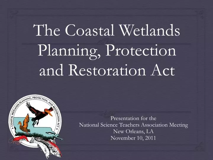
The Coastal Wetlands Planning, Protection and Restoration Act. Presentation for the National Science Teachers Association Meeting New Orleans, LA November 10, 2011. STEM, Louisiana Wetlands Restoration, and Student Success. Increasing the barrier shoreline width with dredged sediment.

E N D
The Coastal Wetlands Planning, Protection and Restoration Act Presentation for the National Science Teachers Association Meeting New Orleans, LA November 10, 2011
STEM,Louisiana Wetlands Restoration,and Student Success Increasing the barrier shoreline width with dredged sediment. CWPPRA Project BA-35 CWPPRA Project BA-41
Natural Causes of Wetland Loss • Hurricanes • Subsidence • Wave erosion • Sea level rise
Process Alterations Made by Humans • River levees • Large Water Control Structures • Construction of Gulf Intracoastal Waterway • Ship Canal Construction • Access Canal Construction
Levees Old River Control Structure Construction of manmade waterways - GIWW
Coastal Wetlands Planning, Protection and Restoration Act U.S. Department of Commerce – NOAA, National Marine Fisheries Service U.S. Department of Interior - U.S. Fish and Wildlife Service U.S. Department of Agriculture - Natural Resources Conservation Service U.S. Department of the Army - U.S. Army Corps of Engineers U.S. Environmental Protection Agency Louisiana Governor’s Office
Bayou LaBranche Wetlands– One of the First CWPPRA Projects I-10 Near New Orleans
Pass Chaland to Grand Bayou Pass Barrier Shoreline Restoration BA -35 Increasing the barrier shoreline width with dredged sediment.
Mississippi River Sediment Delivery System-Bayou Dupont BA-39 Cutterhead dredge
Mississippi River Sediment Delivery System-Bayou Dupont BA-39 Pipe jack and bored under the road and railroad to deliver sediment to a marsh receiving area in Plaquemines Parish near the ConocoPhillips plant.
Mississippi River Sediment Delivery System-Bayou Dupont After Before BA-39
Barataria Barrier Island Complex Project: Pelican Island to Pass La Mer to Chaland Pass Restoration BA-35 Installation of sand fencing was concurrent with dune construction.
Whiskey Island Back Barrier Marsh Creation TE-50 Approximately 316 acres of back barrier intertidal marsh habitat, 5,800 linear feet of tidal creeks, three 1-acre tidal ponds, and 13,000 linear feet of protective sand dune were created by semi-confined disposal and placement of dredged material. Project Area
East Timbalier Island Sediment Restoration (TE-25) • Almost three million cubic yards of sediment were utilized to establish a 200-foot wide dune and a 600-foot wide marsh along the length of the island. • This created 170 acres of intertidal marsh and is helping to protect thousands of acres of existing fringing marsh to the north. • To further stabilize the dredged sediments, 13,000 feet of sand fences and approximately 20,000 plugs of marsh grasses were added.
Coastwide Reference Monitoring System (CRMS) www.LACoast.gov/crms_viewer Click on Mapping Choose Basic Viewer
CRMS and CWPPRA Map- GIS Data Graphs Surface Elevation or Accretion % Organic Soil or Bulk Density Vegetation Types Forested Areas Water Information Precipitation Report Card
1 2 Pick CRMS0523 3 SINGLE CLICK
CRMS Site 0523 SINGLE CLICK
Navigating the Site • Single Click to get a fly out box with information. • Most frequent mistake – double click • Notice the tabs at the top of the fly out. • Each tab contains bits of information for each CRMS site • You can choose Map, Satellite, or Hybrid
Water Data To make every teacher happy!
Vegetation Data More good stuff
Soil Data Cool Graphs for Students to Use as Learning Tools
Spatial Data Data that defines a location
Graphs? But Wait - There is more!