Download
1 / 12
120 likes | 333 Views
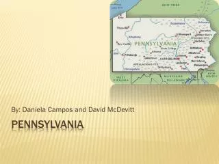
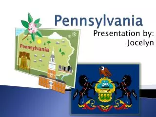
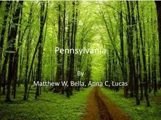
Pennsylvania. Pennsylvania. Use the following websites to complete the work for your stations. In the end, we will use what you have learned to create a Power Point Presentation called Pennsylvania A to Z. Pennsylvania.

E N D
Pennsylvania Use the following websites to complete the work for your stations. In the end, we will use what you have learned to create a Power Point Presentation called Pennsylvania A to Z.
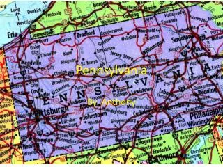
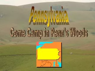
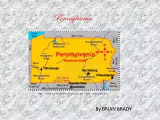
Pennsylvania Remember to use more than just the internet. You also have a book that is a good resource. Some of the information will need to be updated though. Station #1: Maps Map 1 – Use the map on page 13 and R20 as a guide, make a map of the five physical regions of Pennsylvania. Color each region a different color and be sure to label each. Here are the regions: • Erie Plain • Allegheny Plateau • Ridge and Valley Region • Piedmont • Atlantic Coastal Plain
Pennsylvania Remember to use more than just the internet. You also have a book that is a good resource. Some of the information will need to be updated though. Station #1: Maps Map 2 – Use the map on page 13, 15, and 26 make a map showing the major rivers in Pennsylvania. You must include the following rivers: • Ohio River • Monongahela River • Allegheny River • Juniata River • Lehigh River • Susquehanna River • Delaware River • Schuylkill River Remember to label each river and give your map a title.
Pennsylvania Remember to use more than just the internet. You also have a book that is a good resource. Some of the information will need to be updated though. Station #1: Maps Map 3 – Using the map on page H12 and H13 make a map showing the major cities in Pennsylvania. Use a different symbol for different size cities. Make sure to include a key and a title. Also, you will need to research the new population of each city. Use the following website as a resource. http://www.citypopulation.de/USA-Pennsylvania.html
Pennsylvania Station #2: Prominent Pennsylvanians Use the following websites to find the Prominent Pennsylvanians. http://www.netstate.com/states/peop/pa_peop.htm http://en.wikipedia.org/wiki/Matthias_W._Baldwin
Pennsylvania Station #3: Pennsylvania Counties Use page R22 to help complete the county name hunt sheet. You may also use www.google.com or some of the following websites to help: http://en.wikipedia.org/wiki/List_of_U.S._counties_named_after_U.S._Presidents http://resources.rootsweb.ancestry.com/USA/PA.html
Pennsylvania Station #4: Pennsylvania ABCs: Go to www.50states.com and click on the Pennsylvania file folder. Use this site to learn about the Keystone State. Here you can begin building your A to Z list for your Power Point Presentation.
Pennsylvania Station #5: The Capitol Go to www.50states.com and click on the Pennsylvania file folder. Also visit: http://www.pacapitol.com/Main.html Also try: http://kids.clerk.house.gov/grade-school/lesson.html?intID=17 You can also use the text book to find out information about Harrisburg and Pennsylvania. Create a short brochure telling facts about the capitol building, the government and our state capital, Harrisburg. There is space to add a few of your own facts to the back panel of the brochure.
Pennsylvania Station #6: Pennsylvania’s Government This time you will need to read the packet and fill in the chart about our government system. Station #7: Pennsylvania’s Landforms Again, use the textbook, your maps, and the internet to learn about the landforms, complete the chart by filling in each block about the different landforms found in Pennsylvania.
Pennsylvania Station #8: Learning About Our State Again you will use www.50states.com to locate the information on the page. When you click on Pennsylvania Colleges, you will need to scroll down to More Pennsylvania Colleges, this is the listing of colleges found in Pennsylvania. Station #9: History of Pennsylvania History: Use this website to learn about Pennsylvania
Pennsylvania Station #10: Pennsylvania A to Z Use all the information you’ve learned through out the chapter to create your own A to Z Power Point Presentation. I will be showing these to next year’s students so make them nice. Show off your knowledge and your computer skills!