Download
1 / 14
140 likes | 264 Views
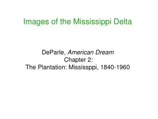
Images of the Whittlewood area. Directions to view images: Click on button to the left of the image title to view image. To return to image list click button at top left of each image slide. Image 1: Dovecote (Furtho) Image 2: The Folly at Deanshanger (Passenham)

E N D
Images of the Whittlewood area • Directions to view images: • Click on button to the left of the image title to view image. • To return to image list click button at top left of each image slide.
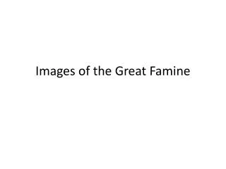
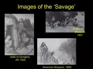
Image 1: Dovecote (Furtho) • Image 2: The Folly at Deanshanger (Passenham) • Image 3: Redmoor Copse (Passenham) • Image 4: The hamm of Passenham • Image 5: Shoulder of mutton, c.1840 Tithe map (Passenham) • Image 6: Stanbury Hill (Silverstone) • Image 7: Buckingham Thick Copse (Whittlebury) • Image 8: The Gullet (Whittlebury) • Image 9: Smalladine Copse (Whittlebury) • Image 10: Wick Hamon church excavation (Wicken) • Image 11: The old Church Yard, 1717 Estate map (Wicken) • Image 12: The halh of Dagnall (Wicken)
Image 5: Shoulder of mutton, c.1840 Tithe map (Passenham) reproduced courtesy of Northamptonshire Record Office
Image 6: Stanbury Hill (Silverstone) Stanbury Hill Site of Whittlebury hill-fort reproduced courtesy of Northamptonshire Record Office
Image 7: Buckingham Thick Copse (Whittlebury) photo courtesy of Jones & Page (ADS: Whittlewood 2006)
Image 11: The old Church Yard, 1717 Estate map (Wicken) The old Church Yard (adjoining the church at Wick Hamon) reproduced courtesy of Northamptonshire Record Office