Download
1 / 30
300 likes | 383 Views
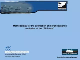
Methodology for the estimation of morphodynamic evolution of the “El Puntal”. Universidad de Cantabria (UCa). http://www.gioc.unican.es. Autoridad Portuaria de Santander. The bold questions refer to the strategic objectives, while the normal questions refer to the operational objectives.

E N D
Methodology for the estimation of morphodynamic evolution of the “El Puntal” Universidad de Cantabria (UCa) http://www.gioc.unican.es Autoridad Portuaria de Santander
The bold questions refer to the strategic objectives, while the normal questions refer to the operational objectives. - The questions addressed are first prioritized for the Spanish situation at El Puntal Spit. Strategic objectives are ordered to their importance: *** means high importance, * means low importance. - Normal questions are referred to the end user involved/interested: 1 Santander Port Authority – 2 Ministry of Environment – 3 Municipality of Somo and Santander The CSIs are also ordered to their importance: *** means high priority, * means low priority. The final CSIs for El Puntal Spit are underlined. The ARGUS input is classified to its degree of success. 1 means easy to execute and leading to a good result, 4 means difficult to determine (technology not available at present) and probably difficult to reach a success within the time of the COASTVIEW project. The final decision of the selection of CSIs is also based on the ARGUS input and Field measurements (ground-truth) possibilities.
Dumping Dredging Review of the problem http://www.gioc.unican.es
Sand Volume exceeding a theoretical threshold Surveying the bathymetry http://www.gioc.unican.es
Image interpretation and analysis http://www.gioc.unican.es
Panoramic view (merged images) http://www.gioc.unican.es
Wave dissipation Detection of shoreline Detection of Bars Dunes vegetation Rip Currents It shape of mega ripples
The video techniques used to achieve the period of dredging and the volume are: • The first techniques is called time-stack and provide the period of dredged with the morphological evolution of cross-shore profiles. • Furthermore, the volume of dredged is fixed with mapping intertidal bathymetry technique. http://www.gioc.unican.es
...morphodynamic evolution of cross-shore profiles. http://www.gioc.unican.es
LT 12:00 HT LT 16:00 http://www.gioc.unican.es
(Timex Image) (xy) (UV) http://www.gioc.unican.es
Argus Meta-Info DB Camera Info Tide http://www.gioc.unican.es
Load oblique image http://www.gioc.unican.es
The intensity profile sampled along cross-shore line through an oblique image http://www.gioc.unican.es
Time-stack image analysis Period of dredging http://www.gioc.unican.es
I(k)/k < T http://www.gioc.unican.es
Technique to automatic detection of shoreline position http://www.gioc.unican.es
Red Green Blue http://www.gioc.unican.es
Time-stack with automatic detection of shoreline position http://www.gioc.unican.es
Shoreline at low tide Distance along the profile (Num. Pixels) Time (each hour) Threshold defined Trend of shoreline at low tide http://www.gioc.unican.es
...the volume of dredging 1. Instalación del sistema 2. Puntos de control (GCP) 3. Tipos de imágenes 4. Análisis de los resultados 5. Campañas de campo http://www.gioc.unican.es
DUNE Hight Low Intertidal bathymetry Z Subtidal bathymetry Y X LT HT LT http://www.gioc.unican.es
P7 P6 P2 P3 P4 P5 P1 BL1 http://www.gioc.unican.es