Download
1 / 1
10 likes | 220 Views
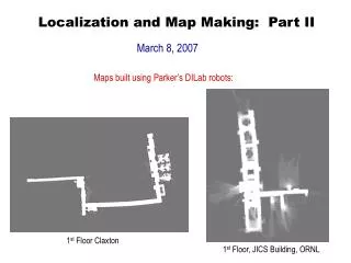
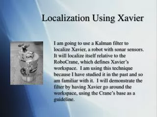
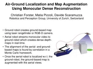
Air-Ground Localization and Map Augmentation Using Monocular Dense Reconstruction. Christian Forster, Matia Pizzoli, Davide Scaramuzza Robotics and Perception Group, University of Zurich, Switzerland. Ground robot creates ground-based map using laser rangefinder or RGB-D camera.

E N D
Air-Ground Localization and Map Augmentation Using Monocular Dense Reconstruction Christian Forster, Matia Pizzoli, Davide Scaramuzza Robotics and Perception Group, University of Zurich, Switzerland • Ground robot creates ground-based map using laser rangefinder or RGB-D camera. • Aerial robot streams monocular video to ground-robot which creates dense depth-maps in real-time. • The alignment of the aerial- and ground-based maps is found by correlation in a Monte Carlo framework. • Once the aerial robot is localized w.r.t. the ground-robot, the ground-based map is augmented with the aerial views.