Download
1 / 9
90 likes | 280 Views
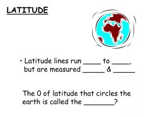
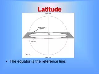
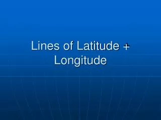
Lines of Latitude + Longitude. Lines of Latitude. Run east to west on the globe Starting point is at the equator (0 degrees latitude) Divide the world into two halves- northern hemisphere and southern hemisphere. Lines of Longitude. Run north to south on the globe

E N D
Lines of Latitude • Run east to west on the globe • Starting point is at the equator (0 degrees latitude) • Divide the world into two halves- northern hemisphere and southern hemisphere
Lines of Longitude • Run north to south on the globe • Starting point is the prime meridian (o degrees longitude) which runs through Greenwich, England • Divide the world into two halves: the western hemisphere and the eastern hemisphere
How are they named? • Given degrees- like a thermometer • Eg. latitude- 60 degrees N • Each degree is divided into 60 minutes • Eg. latitude- 60 degrees, 35 seconds N • The degrees and seconds describe how far away a point on the map is away from the latitude and longitude starting points (0 degrees) • Seconds are named when you are in between 2 degrees
Naming lines on latitude • Traveling north of the equator the lines of latitude increases from 0- 90 degrees north (N) • Traveling south of the equator the lines of latitude increases from 0 – 90 degrees south (S) • Eg. St. John’s NFLD is at 47 degrees 35 seconds N
Naming lines of longitude • Traveling east of the prime meridian the lines of longitude increase from 0- 180 degrees east (E) • Traveling west of the prime meridian the lines of longitude increase from 0- 180 degrees west (W) • Eg. St. John’s NFLD is at 52 degrees 40 seconds W
Putting it all together… • When describing the location of a place you combine the latitude and longitude points to make a set of coordinates • Eg. St. John’s has a set of coordinates of 45 degrees 35’ N, 52 degrees 40’ W
Absolute Location • Refers to a specific point on a map • Described by a set of latitude and longitude coordinates
Relative Location • General location on a map • Described in terms of distance, direction or time from another place • Eg. Annapolis is 25 minutes from Digby