Download
1 / 38
380 likes | 399 Views
Discussing challenges in communication, risk levels, event scenarios, and risk scenarios for geological and hydraulic safety along motorways and railways. Addressing the need for effective early warnings, emergency plans, and risk maps to mitigate hydrogeological risks efficiently.

E N D
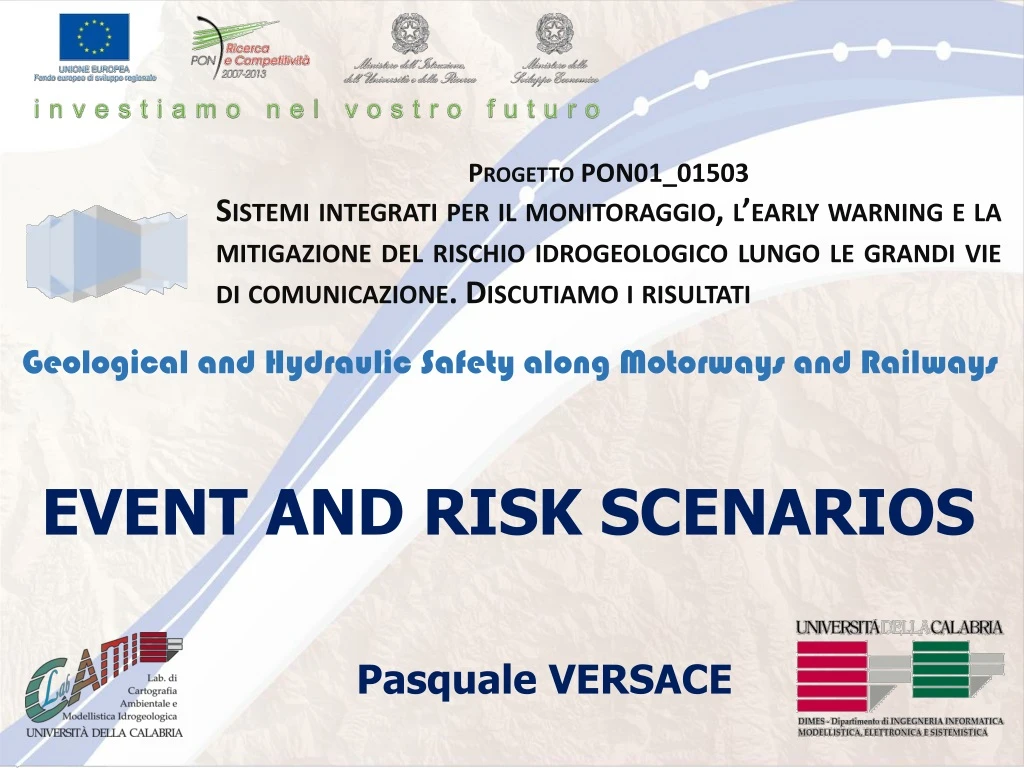
Progetto PON01_01503 Sistemi integrati per il monitoraggio, l’earlywarning e la mitigazione del rischio idrogeologico lungo le grandi vie di comunicazione. Discutiamo i risultati Geological and HydraulicSafetyalongMotorways and Railways EVENT AND RISK SCENARIOS Pasquale VERSACE
Challenges and topic for discussions • Communication and dissemination • Some regions do nothing in case of yellow level, neither send forward to municipalities • Others complain of too many yellow and do not like to have 2 separate warning (flood and landslides) • Some municipalities wish to receive directly warnings and not through regions • What to do in the different levels? Authorities start to act only when is red level (not everybody understand that in yellow and orange level damages can occur). • Lack of emergency plans and risk maps (identifying critical areas) • Communication (experts and population) • Avoid too many false alarm, wrong level: yellow orange • Toomanyleaders/politiciansbetweenexperts and population/localauthorities (developingcountriesvsdevelopedcountries)
Eventscenarios Riskscenarios INTERVENTION MODEL Levels of criticality Levels of alert
Eventscenarios • Landslide velocity • Landslide surface • Landslide scarp • Landslide volume • Thickness • Magnitude • Involved material • Occurrence probability Geometric index Properties of expected phenomena
LANDSLIDE SURFACE (SUR) • LANDSLIDE SCARP (SCA)
LANDSLIDE VOLUME (VOL) • THICKNESS (THI)
MAGNITUDE (MAG) • f(GEI, VEL)
INVOLVED • MATERIAL (IM) • OCCURRENCE • PROBABILITY (PRO)
MAP OF EVENT SCENARIOS – level 1 • Perimeter of landslide and propagation zone MAG1 MAG3 MAG2
MAP OF EVENT SCENARIOS – level 2 Normalized value Mud Debris Earth GEI PRO VEL MAG Mixture of components
MAP OF EVENT SCENARIOS – level 3 Normalized value Mud Debris Earth GEI VOL THI SCA MAG SUR PRO VEL Mixture of components
Riskscenarios • Mud and/or debris movements which could induce a friction reduction and facilitate slips
Riskscenarios • Road subsidence induced by landslides that could drag or drop vehicles
Riskscenarios Falls of significant volumes and/or boulders that could crush or cover vehicles and constitute an obstacle for others vehicles
Riskscenarios A hydraulic infrastructures and/or barriers only emergency lane lane fast lane fast lane of the opposite carriageway lane of the opposite carriageway B C 18 riskscenarios
Riskscenarios • Aa • Ab • Ac • Up • Down
Riskscenarios • Ad • Ae • Af • Up • Down
Riskscenarios • Ad • Bd • Cd • Up • Down
Riskscenarios Ca Cb Cc Cd Ce Cf Up Down
Levels of criticality and alert • 4 states: • state 0 (S0) = no variation • state 1 (S1) = small variation • state 2 (S2) = moderate variation • state 3 (S3) = high variation SEN Sensors Model outputs CAED • 2 states: • state 0 (S0) = no variation or not significant • state 1 (S1) = significantvariation IND INDICATORs • Meteorologicaland hydrologicalmodels for vaste areas (for exampleFLaIR model)
Example • SUSHI Model FS (t = t0)
Example • SUSHI Model
Example • 4 states: • State 0 (S0) = no variation • state 1 (S1) = small variation • state 2 (S2) = moderate variation • state 3 (S3) = high variation
RADAR Example
SCATTEROMETER Example
Levels of criticality and alert • 4 states: • state 0 (S0) = no variation • state 1 (S1) = small variation • state 2 (S2) = moderate variation • state 3 (S3) = high variation SEN • Criticalitylevels • ordinary criticality(level 1) • moderate criticality(level 2) • severe criticality(level 3) Sensors Model outputs • 2 states: • state 0 (S0) = no variation or not significant • state 1 (S1) = significantvariation IND INDICATORs • Meteorologicaland hydrologicalmodels for vaste areas (for exampleFLaIR model)
Levels of criticality and alert CAED CCC
Progetto PON01_01503 Sistemi integrati per il monitoraggio, l’earlywarning e la mitigazione del rischio idrogeologico lungo le grandi vie di comunicazione. Discutiamo i risultati The end Geological and HydraulicSafetyalongMotorways and Railways EVENT AND RISK SCENARIOS Pasquale VERSACE