Download
1 / 32
320 likes | 406 Views
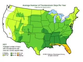
Learn about how climatology can help predict severe thunderstorms in Southeast Colorado, including microburst winds and aircraft-induced lightning. Explore NWS Pueblo's County Warning and Forecast Area for insights on lightning flash density patterns and severe weather timing.

E N D
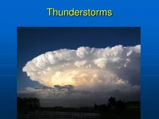
USING CLIMATOLOGY TO FORECAST THUNDERSTORMS IN SOUTHEAST COLORADO Stan Rose, Meteorologist, National Weather Service, Pueblo, CO
Damaging Winds • Thunderstorms can produce strong damaging wind gusts up to 100 mph. • Cold dense rain cooled air accelerates down from the thunderstorm base and spreads outward along the ground creating strong outflow winds.
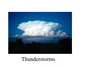
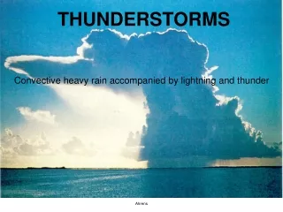
Thunderstorms • Ingredients for a Thunderstorm • Moisture • Instability • Lift • Sun warms the ground and the air begins to rise (convection) • Clouds form and build into thunderstorms as moisture condenses within the rising bubbles of air
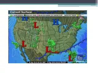
NWS Pueblo’s County Warning and Forecast Area
Lightning Flash Density COS PUB
Lightning Density: June COS PUB
Lightning Density: August COS PUB
Lightning Density: September COS PUB
Lightning Density: October COS PUB
Lightning Density: 17Z COS PUB
Lightning Density: 18Z COS PUB
Lightning Density: 19Z COS PUB
Lightning Density: 22Z COS PUB
Lightning Density: 01Z COS PUB
Lightning Density: 03Z COS PUB
Lightning Density: March COS PUB
TAFS: For Colorado Springs, Pueblo: August KCOS 081200Z 0812/1612 36008KT P6SM FEW100 SCT200 FM081600 14010KT P6SM SCT100 SCT150 FM082100 16012KT P6SM VCTS SCT070CB BKN100 FM090100 07012KT P6SM SCT060 BKN120 KPUB 081200Z 0812/0912 30007KT P6SM SCT200 FM081600 12010KT P6SM SCT120 SCT200 FM082200 12015KT P6SM VCTS SCT080CB BKN120 FM090100 09012KT P6SM FEW080 SCT150