Download
1 / 17
170 likes | 298 Views
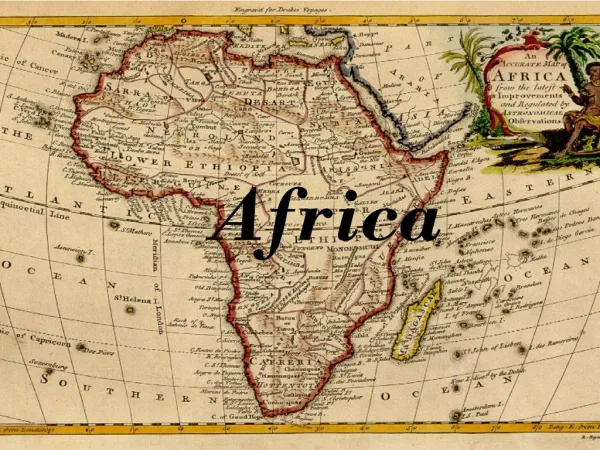
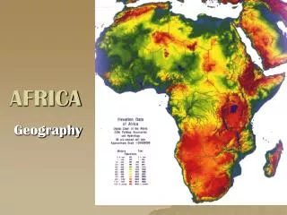
Discover Africa's diverse landscapes from deserts to savannas, the Great Rift Valley, and the Sahara Desert. Learn about the Nile River, desertification, and more in this exploration of Africa's geography.

E N D
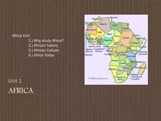
AFRICA Geography
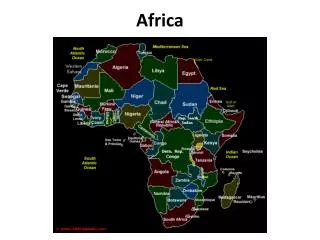
Mediterranean Sea Strait of Gibraltar Red Sea Gulf of Aden Gulf of Guinea Indian Ocean Atlantic Ocean Mozambique Channel
Africa has a regular coastline Smooth Few natural ports and harbors Limits trade Coastline leads directly to desert or jungle Limited exploration by the Europeans Helps to isolate Africa Coastline
Bodies of Water • Lake Victoria • Lake Tanganyika • Lake Malawi
Great Rift Valley • 4,000 mile canyon in East Africa • Natural barrier • Site of many archeological discoveries, including “Lucy” or Homo Habilis, by Mary & Louis Leakey.
Great Rift Valley cont’d Great Rift Valley It is believed that Ancient man originated here Skeleton of “Lucy”- Remains of Ancient Female found in GRV
Savannas • Tall, mostly treeless grasslands that has both a dry and a wet season. • Covers approximately 45% of Africa • The majority of people & wildlife live in the savanna region.
Deserts • Cover about 40% of Africa • Sahara • Kalahari • Namib • Nubian
Mountains • Atlas Mts. • Drakensburg Mts. • Mt. Kilamanjaro • Highest mountains are located in eastern Africa.
Climate Zones • Africa has very diverse climate regions. • Desert • Steppe • Savanna • Rainforest • Mediterranean
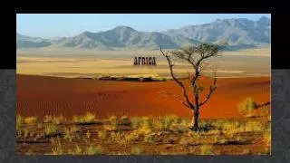
Sahara Desert Located in Northern Africa Larger than the United States Occupies 1/3 of Africa Not a sandy desert: most of the desert is rock and gravel Causes geographic isolation Serves as a natural barrier separating the people of the Sahara and Southern Africa
Desertification • the process of fertile land becoming desert. • Causes: • Overuse/over farming, overgrazing and over cutting of trees for firewood. • Trees and grasses have root systems that hold topsoil in place, without them erosion blows or washes it away, and the land becomes desert.
Desertification con’t • Solutions: • Crop rotation: moving one type of crop to a different field each year. • Prevents the soil nutrients from being depleted year after year. • Planting tree belts also stops wind erosion
Rivers • Nile River • Niger R. • White Nile • Benue R. • Blue Nile • Congo R. • Zambezi R. • Victoria Falls
Nile River • The longest river in the world at 4,180 miles long. • It flowsNORTH from the mountainous region of Lake Victoria to the coastal plains of the Mediterranean Sea. • Cataracts- places where the river becomes shallow, rocks, rapids and waterfalls prevent navigation • Trade/transportation hindered- slowed, prevented by cataracts
“Gift of the Nile” • It is an annual, predictable flood that provides nutrient rich soil for crops to grow surrounded by desert. • Rich soil= silt • The Nile River valley was home to one of the world’s first civilizations: Egyptian civilization • The Egyptians created their calendar based off the annual overflow of the nile